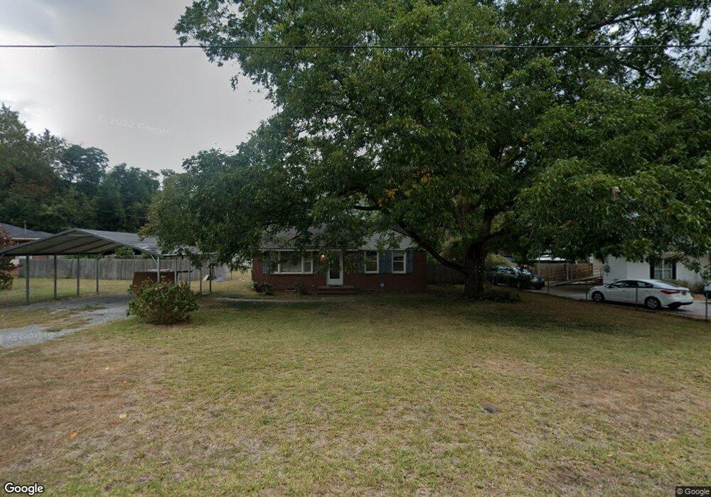
3922 Dent St Augusta, GA 30907
Estimated Value: $147,000 - $182,000
3
Beds
2
Baths
1,274
Sq Ft
$131/Sq Ft
Est. Value
About This Home
This home is located at 3922 Dent St, Augusta, GA 30907 and is currently estimated at $167,449, approximately $131 per square foot. 3922 Dent St is a home located in Columbia County with nearby schools including Martinez Elementary School, Lakeside Middle School, and Lakeside High School.
Ownership History
Date
Name
Owned For
Owner Type
Purchase Details
Closed on
Aug 30, 2022
Sold by
Vb One Llc
Bought by
Vb Six Llc
Current Estimated Value
Purchase Details
Closed on
Aug 17, 2022
Sold by
Saari Robert W
Bought by
Vb One Llc
Purchase Details
Closed on
Jul 31, 2009
Sold by
Edwards Linda
Bought by
Saari Robert W
Home Financials for this Owner
Home Financials are based on the most recent Mortgage that was taken out on this home.
Original Mortgage
$103,300
Interest Rate
5.26%
Mortgage Type
New Conventional
Create a Home Valuation Report for This Property
The Home Valuation Report is an in-depth analysis detailing your home's value as well as a comparison with similar homes in the area
Home Values in the Area
Average Home Value in this Area
Purchase History
| Date | Buyer | Sale Price | Title Company |
|---|---|---|---|
| Vb Six Llc | -- | -- | |
| Vb One Llc | $120,000 | -- | |
| Saari Robert W | $100,000 | -- |
Source: Public Records
Mortgage History
| Date | Status | Borrower | Loan Amount |
|---|---|---|---|
| Previous Owner | Saari Robert W | $103,300 |
Source: Public Records
Tax History
| Year | Tax Paid | Tax Assessment Tax Assessment Total Assessment is a certain percentage of the fair market value that is determined by local assessors to be the total taxable value of land and additions on the property. | Land | Improvement |
|---|---|---|---|---|
| 2025 | $1,299 | $51,985 | $14,204 | $37,781 |
| 2024 | $1,273 | $48,567 | $13,604 | $34,963 |
| 2023 | $1,273 | $47,644 | $13,604 | $34,040 |
| 2022 | $1,147 | $41,850 | $13,204 | $28,646 |
| 2021 | $1,101 | $38,326 | $9,804 | $28,522 |
| 2020 | $1,070 | $36,394 | $9,804 | $26,590 |
| 2019 | $1,081 | $36,807 | $10,804 | $26,003 |
| 2018 | $860 | $28,728 | $7,604 | $21,124 |
| 2017 | $909 | $30,404 | $9,304 | $21,100 |
| 2016 | $873 | $30,197 | $9,680 | $20,517 |
| 2015 | $832 | $28,605 | $8,980 | $19,625 |
| 2014 | $765 | $25,815 | $6,880 | $18,935 |
Source: Public Records
Map
Nearby Homes
- 4039 Delray Ct
- 241 Old Evans Rd
- 233 Anneswood Rd
- 4080 Harden Ct
- 3803 Murray Rd
- 219 Stonington Dr
- 3909 Roberts Rd
- 344 Marshall St
- 132 Greenwood Dr
- 207 Caribe Dr
- 0 Mccormick Rd Unit 547611
- 507 Salterton Way
- 4108 Mansfield Place
- 4106 Mansfield Place
- 4170 Heathcliff Dr
- 4045 Dowling Dr
- 222 Oakridge Dr
- 277 W Wynngate Dr
- 149 Woodland Dr
- 153 Holiday Dr
Your Personal Tour Guide
Ask me questions while you tour the home.