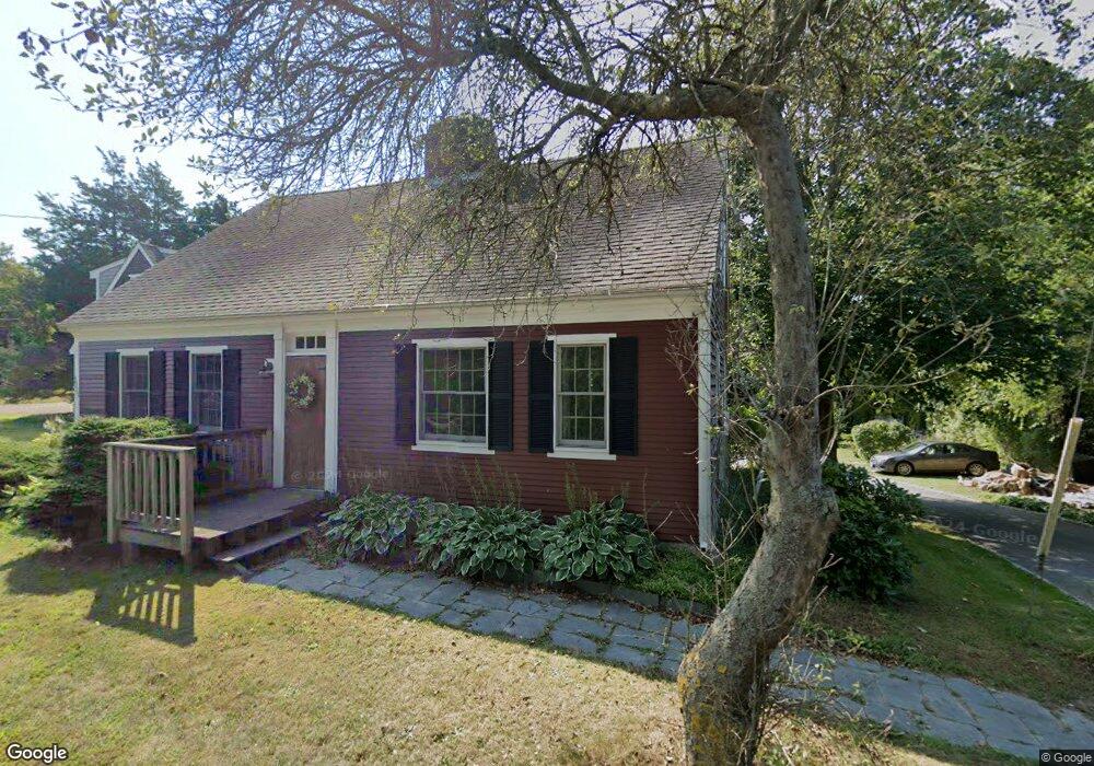
3925 Main St Barnstable, MA 02630
Barnstable Village NeighborhoodEstimated Value: $1,194,000 - $2,029,000
5
Beds
4
Baths
3,552
Sq Ft
$409/Sq Ft
Est. Value
About This Home
This home is located at 3925 Main St, Barnstable, MA 02630 and is currently estimated at $1,452,004, approximately $408 per square foot. 3925 Main St is a home located in Barnstable County with nearby schools including West Barnstable Elementary School, Barnstable United Elementary School, and Barnstable Intermediate School.
Ownership History
Date
Name
Owned For
Owner Type
Purchase Details
Closed on
Oct 19, 2001
Sold by
Betterley Lois H
Bought by
Smith Peter J
Current Estimated Value
Home Financials for this Owner
Home Financials are based on the most recent Mortgage that was taken out on this home.
Original Mortgage
$134,850
Outstanding Balance
$52,901
Interest Rate
6.92%
Mortgage Type
Purchase Money Mortgage
Estimated Equity
$1,399,103
Purchase Details
Closed on
Feb 27, 1989
Sold by
Jr Oliver W-Hallet
Bought by
Betterley Lois H
Create a Home Valuation Report for This Property
The Home Valuation Report is an in-depth analysis detailing your home's value as well as a comparison with similar homes in the area
Home Values in the Area
Average Home Value in this Area
Purchase History
| Date | Buyer | Sale Price | Title Company |
|---|---|---|---|
| Smith Peter J | $150,000 | -- | |
| Betterley Lois H | $141,000 | -- |
Source: Public Records
Mortgage History
| Date | Status | Borrower | Loan Amount |
|---|---|---|---|
| Open | Betterley Lois H | $134,850 | |
| Previous Owner | Betterley Lois H | $142,000 | |
| Previous Owner | Betterley Lois H | $70,000 | |
| Previous Owner | Betterley Lois H | $10,000 |
Source: Public Records
Tax History
| Year | Tax Paid | Tax Assessment Tax Assessment Total Assessment is a certain percentage of the fair market value that is determined by local assessors to be the total taxable value of land and additions on the property. | Land | Improvement |
|---|---|---|---|---|
| 2025 | $9,814 | $1,062,100 | $370,800 | $691,300 |
| 2024 | $8,891 | $1,014,900 | $370,800 | $644,100 |
| 2023 | $8,189 | $911,900 | $344,800 | $567,100 |
| 2022 | $7,909 | $708,700 | $238,400 | $470,300 |
| 2021 | $7,692 | $656,900 | $261,100 | $395,800 |
| 2020 | $7,651 | $624,100 | $261,100 | $363,000 |
| 2019 | $7,229 | $591,600 | $272,400 | $319,200 |
| 2018 | $1,939 | $545,400 | $274,800 | $270,600 |
| 2017 | $6,634 | $530,700 | $274,800 | $255,900 |
| 2016 | $6,466 | $524,400 | $268,500 | $255,900 |
| 2015 | $7,032 | $580,700 | $272,200 | $308,500 |
Source: Public Records
Map
Nearby Homes
- 30 Indian Trail
- 79 Bayberry Ln
- 41 Dromoland Ln
- 44 Iris Ln
- 4390 Main St
- 65 Oakmont Rd
- 100 Spy Glass Hill Rd
- 18 Sleeping Dog Path
- 0 Indian Trail
- 34 Maushop Ave
- 112 Main St
- 162 Route 6a
- 186 Route 6a
- 0 Phinneys Ln
- 93 Harris Meadow Ln
- 69 Allyn Ln
- 2656 Main St
- 61 Coolidge Rd
- 95 Washington Ave
- 248 Camp St Unit C5
Your Personal Tour Guide
Ask me questions while you tour the home.