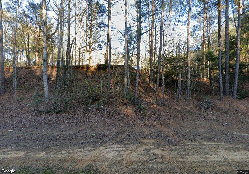
3926 Highway 35 N Carthage, MS 39051
Estimated Value: $127,164 - $352,000
--
Bed
--
Bath
--
Sq Ft
10
Acres
About This Home
This home is located at 3926 Highway 35 N, Carthage, MS 39051 and is currently estimated at $221,541. 3926 Highway 35 N is a home with nearby schools including Leake Central Elementary, Leake Central Junior High School, and Leake Central High School.
Ownership History
Date
Name
Owned For
Owner Type
Purchase Details
Closed on
Dec 20, 2023
Sold by
Curry Carrie
Bought by
Powers Elijah B
Current Estimated Value
Home Financials for this Owner
Home Financials are based on the most recent Mortgage that was taken out on this home.
Original Mortgage
$132,323
Outstanding Balance
$129,824
Interest Rate
6.82%
Mortgage Type
Construction
Estimated Equity
$91,717
Purchase Details
Closed on
Jun 8, 2022
Sold by
Allen Van L
Bought by
Vanlorin Allen
Home Financials for this Owner
Home Financials are based on the most recent Mortgage that was taken out on this home.
Original Mortgage
$108,000
Interest Rate
4.65%
Mortgage Type
Construction
Create a Home Valuation Report for This Property
The Home Valuation Report is an in-depth analysis detailing your home's value as well as a comparison with similar homes in the area
Home Values in the Area
Average Home Value in this Area
Purchase History
| Date | Buyer | Sale Price | Title Company |
|---|---|---|---|
| Powers Elijah B | $165,403 | Other | |
| Vanlorin Allen | $135,000 | Luckett Land Title Inc |
Source: Public Records
Mortgage History
| Date | Status | Borrower | Loan Amount |
|---|---|---|---|
| Open | Powers Elijah B | $132,323 | |
| Previous Owner | Vanlorin Allen | $108,000 |
Source: Public Records
Tax History Compared to Growth
Tax History
| Year | Tax Paid | Tax Assessment Tax Assessment Total Assessment is a certain percentage of the fair market value that is determined by local assessors to be the total taxable value of land and additions on the property. | Land | Improvement |
|---|---|---|---|---|
| 2024 | $689 | $7,966 | $815 | $7,151 |
| 2023 | $687 | $8,055 | $904 | $7,151 |
| 2022 | $162 | $1,331 | $356 | $975 |
| 2021 | $153 | $1,304 | $371 | $933 |
| 2020 | $155 | $1,317 | $384 | $933 |
| 2019 | $151 | $1,334 | $401 | $933 |
| 2018 | $147 | $1,349 | $416 | $933 |
| 2017 | $140 | $1,290 | $399 | $891 |
| 2016 | $0 | $1,257 | $366 | $891 |
| 2015 | $712 | $1,226 | $335 | $891 |
| 2014 | $712 | $6,877 | $2,039 | $4,838 |
Source: Public Records
Map
Nearby Homes
- 6520 Pleasant Grove Rd
- 0 Walnut Rd Unit 4052865
- 280 Tracie Rd
- 2169 Highway 429
- 000 Revere Rd
- 0 Harristown Rd
- 01 N Jordan St
- 2456 Red Dog Rd
- 2460 Red Dog Rd
- 572 Harristown Rd
- 1211 N Jordan St
- 1204 N Jordan St
- 0 Woodhaven Dr Unit 4104068
- 02 Edwards Rd
- 0 St Anne Rd Unit 18059597
- 514 Northwest St
- 812 Carver St
- 614 Naylor St
- 412 N Saint Matthew St
- 0 E Franklin St Unit 4058543
- 3890 Highway 35 N
- 3874 Mississippi 35
- 3955 Highway 35 N
- 4103 Hopoca Rd
- 0 Hopoca None
- 630 Hopoca Rd
- 3972 Highway 35 N
- 3861 Highway 35 N
- 5064 Hopoca Rd
- 3982 Highway 35 N
- 0 Murphy Rd Unit 309971
- 0 Murphy Rd Unit 191968
- 0 Murphy Rd Unit 1191968
- 0 Murphy Rd Unit 1309971
- 3992 Highway 35 N
- 4005 Highway 35 N
- 2210 Hopoca Rd
- 5388 Hopoca Rd
- 5395 Hopoca Rd
- 3406 Hopoca Rd
