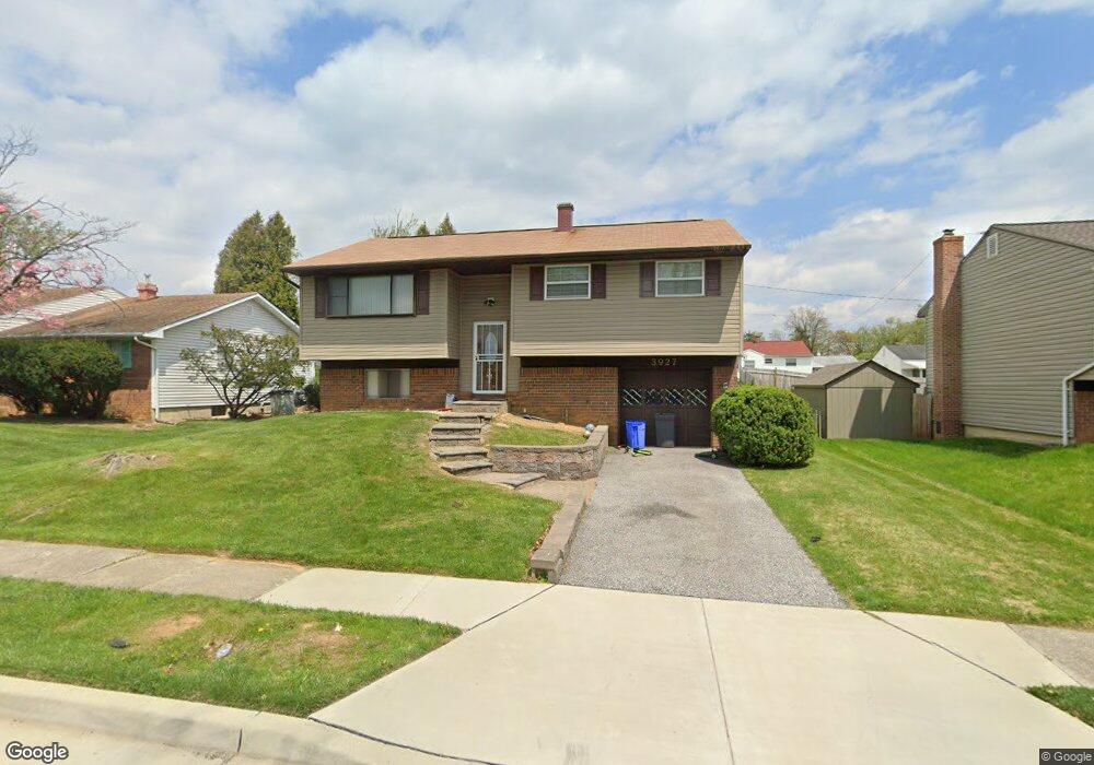
3927 Sadie Rd Randallstown, MD 21133
Estimated Value: $273,000 - $427,000
--
Bed
1
Bath
1,062
Sq Ft
$326/Sq Ft
Est. Value
About This Home
This home is located at 3927 Sadie Rd, Randallstown, MD 21133 and is currently estimated at $346,592, approximately $326 per square foot. 3927 Sadie Rd is a home located in Baltimore County with nearby schools including Church Lane Elementary Technology School, Northwest Academy of Health Sciences, and Randallstown High School.
Ownership History
Date
Name
Owned For
Owner Type
Purchase Details
Closed on
Oct 30, 2013
Sold by
Sparks Thelma M
Bought by
Sparks Lillian A
Current Estimated Value
Purchase Details
Closed on
Dec 13, 1999
Sold by
Sparks Vernon W
Bought by
Sparks Vernon W and Sparks Thelma M
Purchase Details
Closed on
Apr 21, 1989
Sold by
Rosen Barnet
Bought by
Sparks Vernon W
Create a Home Valuation Report for This Property
The Home Valuation Report is an in-depth analysis detailing your home's value as well as a comparison with similar homes in the area
Home Values in the Area
Average Home Value in this Area
Purchase History
| Date | Buyer | Sale Price | Title Company |
|---|---|---|---|
| Sparks Lillian A | -- | None Available | |
| Sparks Vernon W | -- | -- | |
| Sparks Vernon W | $90,000 | -- |
Source: Public Records
Tax History Compared to Growth
Tax History
| Year | Tax Paid | Tax Assessment Tax Assessment Total Assessment is a certain percentage of the fair market value that is determined by local assessors to be the total taxable value of land and additions on the property. | Land | Improvement |
|---|---|---|---|---|
| 2025 | $3,462 | $262,733 | -- | -- |
| 2024 | $3,462 | $248,000 | $73,600 | $174,400 |
| 2023 | $3,325 | $233,467 | $0 | $0 |
| 2022 | $3,074 | $218,933 | $0 | $0 |
| 2021 | $2,807 | $204,400 | $55,600 | $148,800 |
| 2020 | $2,807 | $197,733 | $0 | $0 |
| 2019 | $2,703 | $191,067 | $0 | $0 |
| 2018 | $2,593 | $184,400 | $55,600 | $128,800 |
| 2017 | $2,205 | $171,367 | $0 | $0 |
| 2016 | $2,793 | $158,333 | $0 | $0 |
| 2015 | $2,793 | $145,300 | $0 | $0 |
| 2014 | $2,793 | $145,300 | $0 | $0 |
Source: Public Records
Map
Nearby Homes
- 3907 Roxanne Rd
- 8908 Meadow Heights Rd
- 4001 Starbrook Rd
- 8802 Falcon Ridge Dr
- 8541 Lucerne Rd
- 3921 Zurich Rd
- 4105 Kiwi Ct
- 8806 Gilly Way Unit D
- 9044 Allenswood Rd
- 4108 Century Towne Rd
- 9012 Allenswood Rd
- 3854 Terka Cir
- 3705 Allenswood Ct
- 4210 Mary Ridge Dr
- 20 Windy Meadow Ct
- 3805 Terka Cir
- 3821 Brownhill Rd
- 20 Sunrise Ct
- 28 Sunrise Ct
- 8513 Charlton Rd