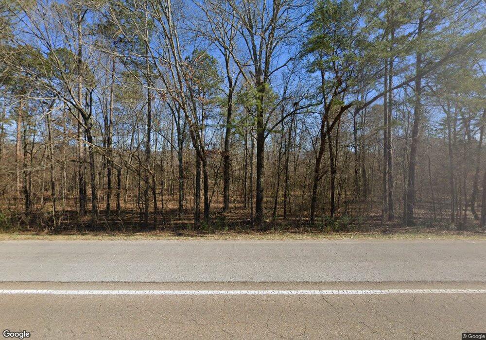
3928 State Route 28 Dunlap, TN 37327
Estimated Value: $458,000 - $642,000
3
Beds
2
Baths
2,813
Sq Ft
$186/Sq Ft
Est. Value
About This Home
This home is located at 3928 State Route 28, Dunlap, TN 37327 and is currently estimated at $521,895, approximately $185 per square foot. 3928 State Route 28 is a home located in Sequatchie County with nearby schools including Griffith Elementary School, Sequatchie County Middle School, and Sequatchie County High School.
Ownership History
Date
Name
Owned For
Owner Type
Purchase Details
Closed on
Jun 11, 2015
Sold by
Smith Walter O
Bought by
Smith Walter O and Wife Vesta M
Current Estimated Value
Purchase Details
Closed on
Oct 8, 2004
Sold by
Millard Turner
Bought by
Smith Walter O
Home Financials for this Owner
Home Financials are based on the most recent Mortgage that was taken out on this home.
Original Mortgage
$62,278
Interest Rate
5.73%
Purchase Details
Closed on
May 3, 2000
Sold by
Lance Harold J and Lance Joan Wife
Bought by
Millard Turner and Millard Lois A
Purchase Details
Closed on
Apr 25, 2000
Bought by
Turner Millard and Wife Lois A
Purchase Details
Closed on
Oct 16, 1996
Bought by
Harold Lance
Purchase Details
Closed on
Apr 5, 1991
Bought by
Vinnedge George W
Create a Home Valuation Report for This Property
The Home Valuation Report is an in-depth analysis detailing your home's value as well as a comparison with similar homes in the area
Home Values in the Area
Average Home Value in this Area
Purchase History
| Date | Buyer | Sale Price | Title Company |
|---|---|---|---|
| Smith Walter O | -- | -- | |
| Smith Walter O | $260,000 | -- | |
| Millard Turner | $18,000 | -- | |
| Turner Millard | $180,000 | -- | |
| Harold Lance | -- | -- | |
| Vinnedge George W | $140,000 | -- |
Source: Public Records
Mortgage History
| Date | Status | Borrower | Loan Amount |
|---|---|---|---|
| Previous Owner | Vinnedge George W | $62,278 |
Source: Public Records
Tax History Compared to Growth
Tax History
| Year | Tax Paid | Tax Assessment Tax Assessment Total Assessment is a certain percentage of the fair market value that is determined by local assessors to be the total taxable value of land and additions on the property. | Land | Improvement |
|---|---|---|---|---|
| 2024 | $1,298 | $70,675 | $9,000 | $61,675 |
| 2023 | $1,298 | $70,675 | $9,000 | $61,675 |
| 2022 | $1,061 | $43,450 | $6,325 | $37,125 |
| 2021 | $1,061 | $43,450 | $6,325 | $37,125 |
| 2020 | $1,102 | $45,125 | $6,325 | $38,800 |
| 2019 | $1,102 | $45,125 | $6,325 | $38,800 |
| 2018 | $1,102 | $45,125 | $6,325 | $38,800 |
| 2017 | $1,102 | $45,125 | $6,325 | $38,800 |
| 2016 | $1,108 | $43,150 | $6,100 | $37,050 |
| 2015 | $1,009 | $39,300 | $2,250 | $37,050 |
| 2014 | $1,612 | $62,775 | $30,300 | $32,475 |
Source: Public Records
Map
Nearby Homes
- 135 Shop Rd
- 4390 Tennessee 28
- 612 + 43 Stone Cave Loop
- 90 Morning Glory Ln
- 109 Morning Glory Ln
- 0 Neal Rd Unit 1521787
- 335 Fox Wood Ln
- 0 Farmington Creek Rd Unit 1509455
- 0 Hudlow Loop Rd Unit 1511092
- 1814 Hudlow Loop Rd
- 100 Farmington Creek Rd
- 90 Riverside Dr
- 1 Woodcock Rd
- 0 Hidden Ridge Loop Unit RTC2987065
- 109 Hidden Ridge Loop
- 389 Neal Rd
- 00 Hidden Ridge Loop
- 347 Highland Dr
- 235 Highland Dr
- 75A Hardin Rd
- 3838 State Route 28
- 70 Hudlow Loop Rd
- 100 Hudlow Loop Rd
- 63 Hudlow Loop Rd
- 3924 State Route 28
- 89 Hudlow Loop Rd
- 26 Hudlow Loop Rd
- 24 Hudlow Loop Rd
- 000 State Hwy 28
- 23 Hudlow Loop Rd
- 197 Hudlow Loop Rd
- 0 28 Hwy Unit 1380741
- 40 Daus Community Center Rd
- 3914 State Route 28
- 9 Hudlow Loop Rd
- 0 Daus Mill Rd
- 0 Daus Mill Rd Unit 1029073
- 0 Daus Mill Rd Unit 1030179
- 0 Daus Mill Rd Unit 1178584
- 0 Daus Mill Rd Unit 1178582
