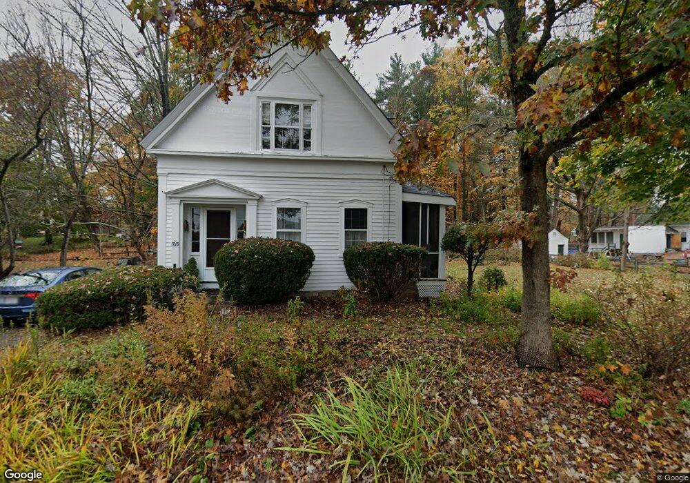
393 Linebrook Rd Ipswich, MA 01938
Estimated Value: $662,224 - $781,000
3
Beds
2
Baths
1,442
Sq Ft
$495/Sq Ft
Est. Value
About This Home
This home is located at 393 Linebrook Rd, Ipswich, MA 01938 and is currently estimated at $713,556, approximately $494 per square foot. 393 Linebrook Rd is a home located in Essex County with nearby schools including Ipswich High School, Clark School, and North Shore Montessori School.
Ownership History
Date
Name
Owned For
Owner Type
Purchase Details
Closed on
Aug 15, 2016
Sold by
Blanchard Beth J
Bought by
Reiter Blanchard Ret and Reiter-Blanchard
Current Estimated Value
Purchase Details
Closed on
Mar 26, 2003
Sold by
Blanchard David M and Blanchard Beth J
Bought by
Blanchard Beth J
Purchase Details
Closed on
Jan 6, 1984
Bought by
Blanchard Beth J
Create a Home Valuation Report for This Property
The Home Valuation Report is an in-depth analysis detailing your home's value as well as a comparison with similar homes in the area
Home Values in the Area
Average Home Value in this Area
Purchase History
| Date | Buyer | Sale Price | Title Company |
|---|---|---|---|
| Reiter Blanchard Ret | -- | -- | |
| Reiter Blanchard Ret | -- | -- | |
| Reiter Blanchard Ret | -- | -- | |
| Blanchard Beth J | -- | -- | |
| Blanchard Beth J | -- | -- | |
| Blanchard Beth J | -- | -- |
Source: Public Records
Mortgage History
| Date | Status | Borrower | Loan Amount |
|---|---|---|---|
| Previous Owner | Blanchard Beth J | $40,000 | |
| Previous Owner | Blanchard Beth J | $59,000 | |
| Previous Owner | Blanchard Beth J | $100,000 |
Source: Public Records
Tax History Compared to Growth
Tax History
| Year | Tax Paid | Tax Assessment Tax Assessment Total Assessment is a certain percentage of the fair market value that is determined by local assessors to be the total taxable value of land and additions on the property. | Land | Improvement |
|---|---|---|---|---|
| 2025 | $6,676 | $598,700 | $352,000 | $246,700 |
| 2024 | $6,366 | $559,400 | $350,900 | $208,500 |
| 2023 | $6,334 | $517,900 | $328,900 | $189,000 |
| 2022 | $5,845 | $454,500 | $285,100 | $169,400 |
| 2021 | $5,842 | $441,900 | $285,100 | $156,800 |
| 2020 | $5,867 | $418,500 | $263,200 | $155,300 |
| 2019 | $5,799 | $411,600 | $263,200 | $148,400 |
| 2018 | $5,730 | $402,400 | $263,200 | $139,200 |
| 2017 | $5,384 | $379,400 | $250,000 | $129,400 |
| 2016 | $5,215 | $351,200 | $236,800 | $114,400 |
| 2015 | $4,627 | $342,500 | $228,100 | $114,400 |
Source: Public Records
Map
Nearby Homes
- 29 Charlotte Rd
- 37 East St
- 75 Country Club Way
- 43 Willowdale Rd
- 1 Court Ln
- 54 Willowdale Rd
- 14 Pond St
- 3 Choate Ln
- 88 Haverhill Rd
- 76-78 Daniels Rd
- 196 Country Club Way
- 4 Ruby Cir
- 8 Longmeadow Dr Unit 14
- 8 Mansion Dr
- 16 Killam Hill Rd
- 16 Cedarwood Ln
- 46 Buttonwood
- 61 Maplecroft Ln
- 30 Buttonwood
- 53 Emily Ln
- 7 Charlotte Rd
- 395 Linebrook Rd
- 366 Linebrook Rd
- 9 Charlotte Rd
- 1 Plains Rd
- 5 Charlotte Rd
- 11 Charlotte Rd
- 397 Linebrook Rd
- 389 Linebrook Rd
- 364 Linebrook Rd
- 4 Plains Rd
- 3 Plains Rd
- 4 Charlotte Rd
- 3 Charlotte Rd
- 399 Linebrook Rd
- 13 Charlotte Rd
- 6 Charlotte Rd
- 3 Randall Rd
- 401 Linebrook Rd
- 362 Linebrook Rd