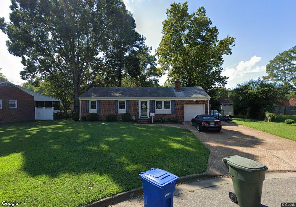
393 Mohea Cir Newport News, VA 23602
Charles NeighborhoodEstimated Value: $234,626 - $283,000
2
Beds
1
Bath
1,007
Sq Ft
$262/Sq Ft
Est. Value
About This Home
This home is located at 393 Mohea Cir, Newport News, VA 23602 and is currently estimated at $263,657, approximately $261 per square foot. 393 Mohea Cir is a home located in Newport News City with nearby schools including Willis A. Jenkins Elementary School, Ethel M. Gildersleeve Middle School, and Menchville High School.
Ownership History
Date
Name
Owned For
Owner Type
Purchase Details
Closed on
May 21, 2014
Sold by
Sheffield Sarah T and Sheffield Shane A
Bought by
Sheffield Sarah T and Sheffield Shane A
Current Estimated Value
Home Financials for this Owner
Home Financials are based on the most recent Mortgage that was taken out on this home.
Original Mortgage
$169,792
Outstanding Balance
$131,403
Interest Rate
4.75%
Mortgage Type
FHA
Estimated Equity
$132,254
Create a Home Valuation Report for This Property
The Home Valuation Report is an in-depth analysis detailing your home's value as well as a comparison with similar homes in the area
Home Values in the Area
Average Home Value in this Area
Purchase History
| Date | Buyer | Sale Price | Title Company |
|---|---|---|---|
| Sheffield Sarah T | -- | -- |
Source: Public Records
Mortgage History
| Date | Status | Borrower | Loan Amount |
|---|---|---|---|
| Open | Sheffield Sarah T | $169,792 |
Source: Public Records
Tax History Compared to Growth
Tax History
| Year | Tax Paid | Tax Assessment Tax Assessment Total Assessment is a certain percentage of the fair market value that is determined by local assessors to be the total taxable value of land and additions on the property. | Land | Improvement |
|---|---|---|---|---|
| 2024 | $2,439 | $206,700 | $60,500 | $146,200 |
| 2023 | $2,459 | $195,900 | $60,500 | $135,400 |
| 2022 | $2,342 | $182,900 | $60,500 | $122,400 |
| 2021 | $1,935 | $158,600 | $55,000 | $103,600 |
| 2020 | $1,999 | $151,800 | $55,000 | $96,800 |
| 2019 | $1,994 | $151,800 | $55,000 | $96,800 |
| 2018 | $1,935 | $147,200 | $55,000 | $92,200 |
| 2017 | $1,935 | $147,200 | $55,000 | $92,200 |
| 2016 | $1,931 | $147,200 | $55,000 | $92,200 |
| 2015 | $1,925 | $147,200 | $55,000 | $92,200 |
| 2014 | $1,674 | $147,200 | $55,000 | $92,200 |
Source: Public Records
Map
Nearby Homes
- 392 Nicewood Dr
- 388 Nicewood Dr
- 239 Yoder Ln
- 171 Edsyl St
- 183 Mark Twain Dr
- 432 Maryle Ct
- 411 Dunmore Dr
- 178 Colony Rd
- 411 Eastwood Dr
- 179 Bret Harte Dr
- 114 Linbrook Dr
- 432 Eastwood Dr
- 300 Colony Rd
- 314 Marlboro Rd
- 109 Fischer Dr
- 119 Menchville Rd
- 2 Pauline Cir
- 149 Princess Margaret Dr
- 151 Princess Margaret Dr
- 203 Tabbs Ln