3931 Highway 24 Anderson, SC 29626
Estimated Value: $293,000 - $339,000
3
Beds
2
Baths
1,854
Sq Ft
$167/Sq Ft
Est. Value
About This Home
This home is located at 3931 Highway 24, Anderson, SC 29626 and is currently estimated at $310,445, approximately $167 per square foot. 3931 Highway 24 is a home located in Anderson County with nearby schools including McLees Elementary School, Robert Anderson Middle School, and Westside High School.
Ownership History
Date
Name
Owned For
Owner Type
Purchase Details
Closed on
Aug 31, 2023
Sold by
Purdy Gail and Crawford Steve
Bought by
Whisenant Boyce S and Whisenant Candy
Current Estimated Value
Home Financials for this Owner
Home Financials are based on the most recent Mortgage that was taken out on this home.
Original Mortgage
$249,290
Outstanding Balance
$243,822
Interest Rate
6.78%
Mortgage Type
New Conventional
Estimated Equity
$66,623
Purchase Details
Closed on
May 4, 2009
Sold by
Dunn Gladys Hanna and Miller Jacqueline D
Bought by
Cornett T P and Cornett Mary H
Create a Home Valuation Report for This Property
The Home Valuation Report is an in-depth analysis detailing your home's value as well as a comparison with similar homes in the area
Home Values in the Area
Average Home Value in this Area
Purchase History
| Date | Buyer | Sale Price | Title Company |
|---|---|---|---|
| Whisenant Boyce S | $257,000 | South Carolina Title | |
| Whisenant Boyce S | $257,000 | South Carolina Title | |
| Purdy Gail | -- | None Listed On Document | |
| Purdy Gail | -- | None Listed On Document | |
| Cornett T P | $140,000 | -- |
Source: Public Records
Mortgage History
| Date | Status | Borrower | Loan Amount |
|---|---|---|---|
| Open | Whisenant Boyce S | $249,290 | |
| Closed | Whisenant Boyce S | $249,290 |
Source: Public Records
Tax History Compared to Growth
Tax History
| Year | Tax Paid | Tax Assessment Tax Assessment Total Assessment is a certain percentage of the fair market value that is determined by local assessors to be the total taxable value of land and additions on the property. | Land | Improvement |
|---|---|---|---|---|
| 2024 | $1,249 | $10,240 | $600 | $9,640 |
| 2023 | $1,249 | $6,910 | $600 | $6,310 |
| 2022 | $553 | $6,910 | $600 | $6,310 |
| 2021 | $473 | $5,810 | $600 | $5,210 |
| 2020 | $470 | $5,810 | $600 | $5,210 |
| 2019 | $470 | $5,810 | $600 | $5,210 |
| 2018 | $478 | $5,810 | $600 | $5,210 |
| 2017 | -- | $5,810 | $600 | $5,210 |
| 2016 | $431 | $5,400 | $620 | $4,780 |
| 2015 | $442 | $5,400 | $620 | $4,780 |
| 2014 | $442 | $5,400 | $620 | $4,780 |
Source: Public Records
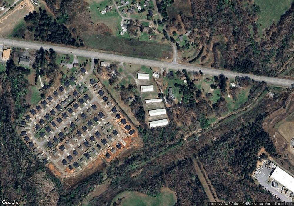
Map
Nearby Homes
- 4082 Old Portman Rd
- 108 Lakewood Ln
- 424 Shore Line Dr
- 4123 Old Portman Rd
- 433 Shore Line Dr
- 924 Axmann Dr
- 143 Pheasant Ridge Dr
- TR 1-A, TR-2, TR-S Singleton Rd
- 215 Spruce Creek
- 129 Saddle Brook
- 2153 Scarborough Rd
- 201 Knollwood Dr
- 110 Bean Mill Way
- 109 Sugar Creek Ln
- 101 Victorian Dr
- 502 Blume Rd
- 303 Elm Ave
- 301 Elm Ave
- 110 Peartree Ln
- 347 Knollwood Dr
- 3931 Hwy 24 Hwy
- 3931 S Carolina 24
- 3929 Highway 24
- 3933 Highway 24
- 214 Silver Lane Cir
- 218 Silver Lane Cir
- 200 Silver Lane Cir
- 3938 Highway 24
- 209 Silver Lane Cir
- 3941 Highway 24
- 3920 Highway 24
- 307 Silver Lane Cir
- 201 Silver Lane Cir
- 300 Silver Lane Cir
- 300 Silver Lane Cir
- 120 Lakewood Ln
- 3945 Highway 24
- 304 Silver Lane Cir
- 3913 Highway 24
- 308 Silver Lane Cir