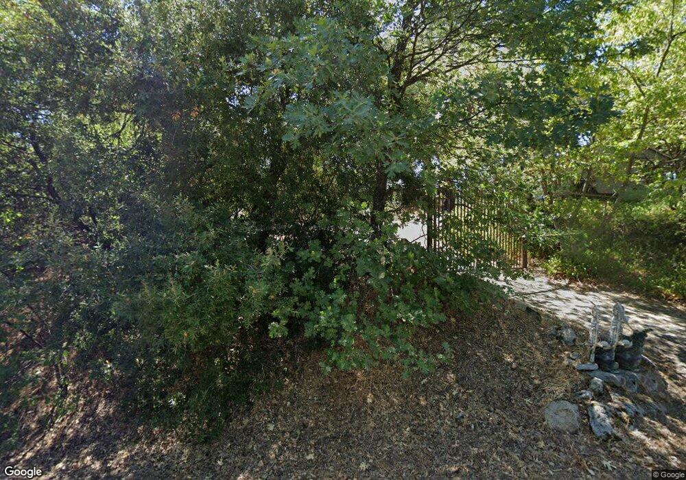
39311 Manzanita Dr Oakhurst, CA 93644
Estimated Value: $255,000 - $327,000
2
Beds
1
Bath
1,016
Sq Ft
$281/Sq Ft
Est. Value
About This Home
This home is located at 39311 Manzanita Dr, Oakhurst, CA 93644 and is currently estimated at $285,744, approximately $281 per square foot. 39311 Manzanita Dr is a home located in Madera County with nearby schools including Oakhurst Elementary School, Oak Creek Intermediate School, and Oakhurst Seventh-day Adventist School.
Ownership History
Date
Name
Owned For
Owner Type
Purchase Details
Closed on
Jan 26, 2004
Sold by
Isaacson Michael D
Bought by
Henderson Filling James S and Henderson Filling Annie M
Current Estimated Value
Purchase Details
Closed on
Aug 7, 1999
Sold by
Isaacson Michael D
Bought by
Isaacson Michael D
Home Financials for this Owner
Home Financials are based on the most recent Mortgage that was taken out on this home.
Original Mortgage
$79,500
Interest Rate
7.7%
Create a Home Valuation Report for This Property
The Home Valuation Report is an in-depth analysis detailing your home's value as well as a comparison with similar homes in the area
Home Values in the Area
Average Home Value in this Area
Purchase History
| Date | Buyer | Sale Price | Title Company |
|---|---|---|---|
| Henderson Filling James S | $87,000 | Chicago Title | |
| Isaacson Michael D | -- | First American Title Ins Co |
Source: Public Records
Mortgage History
| Date | Status | Borrower | Loan Amount |
|---|---|---|---|
| Previous Owner | Isaacson Michael D | $79,500 |
Source: Public Records
Tax History Compared to Growth
Tax History
| Year | Tax Paid | Tax Assessment Tax Assessment Total Assessment is a certain percentage of the fair market value that is determined by local assessors to be the total taxable value of land and additions on the property. | Land | Improvement |
|---|---|---|---|---|
| 2025 | $1,272 | $123,676 | $85,298 | $38,378 |
| 2023 | $1,272 | $118,876 | $81,987 | $36,889 |
| 2022 | $1,235 | $116,546 | $80,380 | $36,166 |
| 2021 | $1,219 | $114,261 | $78,804 | $35,457 |
| 2020 | $1,212 | $113,090 | $77,996 | $35,094 |
| 2019 | $1,190 | $110,873 | $76,467 | $34,406 |
| 2018 | $1,162 | $108,700 | $74,968 | $33,732 |
| 2017 | $1,142 | $106,570 | $73,499 | $33,071 |
| 2016 | $1,105 | $104,481 | $72,058 | $32,423 |
| 2015 | $1,005 | $94,830 | $65,400 | $29,430 |
| 2014 | $925 | $87,000 | $60,000 | $27,000 |
Source: Public Records
Map
Nearby Homes
- 52861 Cedar Dr
- 39314 Manzanita Dr
- 52854 Balsam Dr
- 52815 Balsam Dr
- 52830 Pine Dr
- 11 Suncrest Dr
- 39712 Deer Ridge Dr
- 52038 Road 426
- 51793 Quail Ridge Rd
- 40333 Road 222
- 40333 Road 222 Unit 102
- 39828 Granite Ridge Ln
- 39351 Blue Jay Dr
- 53637 Road 432
- 39656 Red Bud
- 39317 Point
- 39550 Saunders
- 53473 Road 432
- 39567 E Idylwild
- 51668 Courtney Ln
- 39303 Manzanita Dr
- 39300 Manzanita Dr
- 52841 Cedar Dr
- 52821 Cedar Dr
- 39291 Manzanita Dr
- 52879 Cedar Dr
- 39333 Manzanita Dr
- 39345 Manzanita Dr
- 39275 Manzanita Dr
- 39284 Manzanita Dr
- 52899 Cedar Dr
- 39340 Manzanita Dr
- 39357 Manzanita Dr
- 52826 Balsam Dr
- 52812 Balsam Dr
- 52840 Balsam Dr
- 39352 Manzanita Dr
- 52862 Cedar Dr Unit 52879
- 52862 Cedar Dr
- 52703 Road 426
