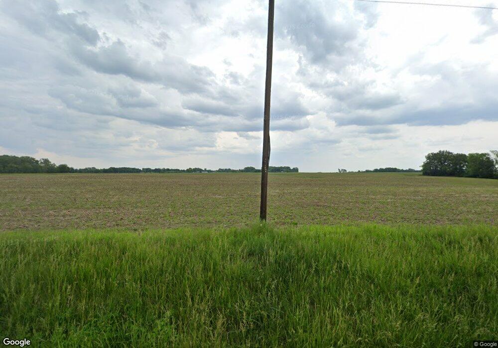
3936 Millstadt Twp Line Rd Belleville, IL 62220
Estimated Value: $225,000 - $341,000
--
Bed
--
Bath
1,292
Sq Ft
$210/Sq Ft
Est. Value
About This Home
This home is located at 3936 Millstadt Twp Line Rd, Belleville, IL 62220 and is currently estimated at $271,394, approximately $210 per square foot. 3936 Millstadt Twp Line Rd is a home located in St. Clair County with nearby schools including Freeburg Elementary School and Freeburg Community High School.
Ownership History
Date
Name
Owned For
Owner Type
Purchase Details
Closed on
Feb 19, 2010
Sold by
Capone Virginia
Bought by
Middendorf Michael A and Middendorf Patricia A
Current Estimated Value
Home Financials for this Owner
Home Financials are based on the most recent Mortgage that was taken out on this home.
Original Mortgage
$75,000
Interest Rate
5.11%
Mortgage Type
New Conventional
Purchase Details
Closed on
Jun 27, 2006
Sold by
Capone Virginia
Bought by
Middendorf Michael A and Middendorf Patricia A
Create a Home Valuation Report for This Property
The Home Valuation Report is an in-depth analysis detailing your home's value as well as a comparison with similar homes in the area
Home Values in the Area
Average Home Value in this Area
Purchase History
| Date | Buyer | Sale Price | Title Company |
|---|---|---|---|
| Middendorf Michael A | $185,000 | Fatic | |
| Middendorf Michael A | -- | None Available |
Source: Public Records
Mortgage History
| Date | Status | Borrower | Loan Amount |
|---|---|---|---|
| Closed | Middendorf Michael A | $75,000 |
Source: Public Records
Tax History Compared to Growth
Tax History
| Year | Tax Paid | Tax Assessment Tax Assessment Total Assessment is a certain percentage of the fair market value that is determined by local assessors to be the total taxable value of land and additions on the property. | Land | Improvement |
|---|---|---|---|---|
| 2024 | $5,375 | $85,184 | $11,164 | $74,020 |
| 2023 | $5,068 | $79,174 | $10,376 | $68,798 |
| 2022 | $4,706 | $72,664 | $9,523 | $63,141 |
| 2021 | $4,457 | $68,422 | $8,967 | $59,455 |
| 2020 | $4,260 | $63,476 | $8,652 | $54,824 |
| 2019 | $4,097 | $63,476 | $8,652 | $54,824 |
| 2018 | $3,921 | $61,253 | $8,349 | $52,904 |
| 2017 | $3,703 | $58,415 | $7,962 | $50,453 |
| 2016 | $3,668 | $56,010 | $6,628 | $49,382 |
| 2014 | $3,482 | $55,117 | $6,522 | $48,595 |
| 2013 | $2,990 | $56,317 | $6,664 | $49,653 |
Source: Public Records
Map
Nearby Homes
- 000 Etling Rd
- 00 Etling Rd
- 6264 Roachtown Rd
- 309 Sunset Dr
- 3931 Lower Saxtown Rd
- 5755 Briars Landing
- 14 N High St
- 408 S Smith St
- 4550 Barleyridge Dr
- 5548 High St
- 4517 Boardwalk
- 4525 Boardwalk
- 5 Mozart Place
- 4901 Wilderness Point
- TBB Floraville Rd
- 4916 Wilderness Pointe
- 6409 Balsam Ridge
- 4900 Barnwood Ln
- 222 Buchanan St
- 4904 Barnwood Ln
- 4001 Millstadt Township Line Rd
- 4144 Millstadt Township Ln Rd
- 4767 Douglas Rd
- 0 Roachtown Rd
- 4773 Roadchtown Rd
- 5028 Douglas Rd
- 4695 Douglas Rd
- 4040 Little Rock Ln
- 4673 Douglas Rd
- 3950 Little Rock Ln
- 3908 Little Rock Ln
- 3924 Little Rock Ln
- 4659 Douglas Rd
- 4227 Millstadt Twp Line Rd
- 5001 Douglas Rd
- 4618 Douglas Rd
- 4649 Douglas Rd
- 4528 Schwab Rd
- 4639 Douglas Rd
- 5112 Douglas Rd
