3939 Karl Rd Unit 113 Columbus, OH 43224
Clinton Estates NeighborhoodEstimated Value: $96,432 - $139,000
1
Bed
2
Baths
902
Sq Ft
$122/Sq Ft
Est. Value
About This Home
This home is located at 3939 Karl Rd Unit 113, Columbus, OH 43224 and is currently estimated at $109,858, approximately $121 per square foot. 3939 Karl Rd Unit 113 is a home located in Franklin County with nearby schools including Maize Road Elementary School, Medina Middle School, and Mifflin High School.
Ownership History
Date
Name
Owned For
Owner Type
Purchase Details
Closed on
Mar 21, 2014
Sold by
Wichouski Margery A
Bought by
Grassel Patricia L
Current Estimated Value
Home Financials for this Owner
Home Financials are based on the most recent Mortgage that was taken out on this home.
Original Mortgage
$21,600
Interest Rate
4.24%
Mortgage Type
New Conventional
Purchase Details
Closed on
Mar 9, 2001
Sold by
Sahr Sandy and Estate Of Ellen C King
Bought by
Wichouski Margery A
Purchase Details
Closed on
Dec 16, 1988
Bought by
King Ellen C
Create a Home Valuation Report for This Property
The Home Valuation Report is an in-depth analysis detailing your home's value as well as a comparison with similar homes in the area
Home Values in the Area
Average Home Value in this Area
Purchase History
| Date | Buyer | Sale Price | Title Company |
|---|---|---|---|
| Grassel Patricia L | $27,000 | Talon Title | |
| Wichouski Margery A | $58,900 | Chicago Title West | |
| King Ellen C | $48,500 | -- |
Source: Public Records
Mortgage History
| Date | Status | Borrower | Loan Amount |
|---|---|---|---|
| Previous Owner | Grassel Patricia L | $21,600 |
Source: Public Records
Tax History Compared to Growth
Tax History
| Year | Tax Paid | Tax Assessment Tax Assessment Total Assessment is a certain percentage of the fair market value that is determined by local assessors to be the total taxable value of land and additions on the property. | Land | Improvement |
|---|---|---|---|---|
| 2024 | $1,269 | $28,280 | $2,450 | $25,830 |
| 2023 | $1,253 | $28,280 | $2,450 | $25,830 |
| 2022 | $953 | $18,380 | $2,210 | $16,170 |
| 2021 | $955 | $18,380 | $2,210 | $16,170 |
| 2020 | $956 | $18,380 | $2,210 | $16,170 |
| 2019 | $890 | $14,670 | $1,750 | $12,920 |
| 2018 | $823 | $14,670 | $1,750 | $12,920 |
| 2017 | $889 | $14,670 | $1,750 | $12,920 |
| 2016 | $835 | $12,610 | $1,790 | $10,820 |
| 2015 | $758 | $12,610 | $1,790 | $10,820 |
| 2014 | $233 | $12,610 | $1,790 | $10,820 |
| 2013 | $208 | $15,750 | $2,240 | $13,510 |
Source: Public Records
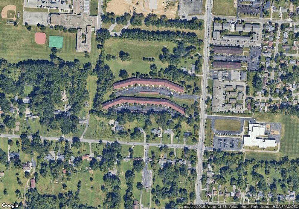
Map
Nearby Homes
- 3939 Karl Rd Unit 108
- 3941 Karl Rd Unit 326
- 3965 Karl Rd Unit 208
- 3967 Karl Rd Unit 125
- 1440 E Cooke Rd
- 1496 E Cooke Rd
- 4143 Karl Rd Unit 314
- 4141 Karl Rd Unit 307
- 1382 Elmore Ave
- 1665 Sale Rd
- 3749 Ganson Dr
- 1734 Ferris Rd
- 1191 Bryson Rd
- 3900 Dresden St
- 1206 Bryson Rd
- 3750 Dresden St
- 1064 Hillsdale Dr
- 3585 Gerbert Rd
- 995 Overbrook Service Dr
- 4455 Kenfield Rd
- 3939 Karl Rd Unit 302
- 3939 Karl Rd Unit 311
- 3939 Karl Rd Unit 109
- 3939 Karl Rd Unit 300
- 3939 Karl Rd Unit 110
- 3939 Karl Rd Unit 304
- 3939 Karl Rd Unit 115
- 3939 Karl Rd Unit 104
- 3939 Karl Rd
- 3939 Karl Rd
- 3939 Karl Rd
- 3939 Karl Rd Unit 103
- 3939 Karl Rd
- 3939 Karl Rd Unit 204
- 3939 Karl Rd Unit 209
- 3939 Karl Rd Unit 107
- 3939 Karl Rd Unit 205
- 3939 Karl Rd
- 3939 Karl Rd
- 3939 Karl Rd