3939 Karl Rd Unit 209 Columbus, OH 43224
Clinton Estates NeighborhoodEstimated Value: $96,000 - $132,000
2
Beds
2
Baths
902
Sq Ft
$118/Sq Ft
Est. Value
About This Home
This home is located at 3939 Karl Rd Unit 209, Columbus, OH 43224 and is currently estimated at $106,527, approximately $118 per square foot. 3939 Karl Rd Unit 209 is a home located in Franklin County with nearby schools including Maize Road Elementary School, Medina Middle School, and Mifflin High School.
Ownership History
Date
Name
Owned For
Owner Type
Purchase Details
Closed on
Oct 25, 2011
Sold by
Vincent Lucille
Bought by
Grove Rose and Grove Larry
Current Estimated Value
Purchase Details
Closed on
Mar 24, 2000
Sold by
Lamneck William C
Bought by
Vincent Paul E and Vincent Lucille
Purchase Details
Closed on
Jan 11, 2000
Sold by
Estate Of Gertrude E Lamneck
Bought by
Lamneck William C
Purchase Details
Closed on
Oct 26, 1989
Bought by
Lamneck Gertrude E
Purchase Details
Closed on
Nov 16, 1988
Create a Home Valuation Report for This Property
The Home Valuation Report is an in-depth analysis detailing your home's value as well as a comparison with similar homes in the area
Home Values in the Area
Average Home Value in this Area
Purchase History
| Date | Buyer | Sale Price | Title Company |
|---|---|---|---|
| Grove Rose | $28,100 | Bxstewart Tti | |
| Vincent Paul E | $54,000 | Chicago Title | |
| Lamneck William C | -- | -- | |
| Lamneck Gertrude E | -- | -- | |
| -- | $46,000 | -- |
Source: Public Records
Tax History Compared to Growth
Tax History
| Year | Tax Paid | Tax Assessment Tax Assessment Total Assessment is a certain percentage of the fair market value that is determined by local assessors to be the total taxable value of land and additions on the property. | Land | Improvement |
|---|---|---|---|---|
| 2024 | $1,196 | $26,640 | $2,450 | $24,190 |
| 2023 | $1,180 | $26,635 | $2,450 | $24,185 |
| 2022 | $883 | $17,020 | $2,210 | $14,810 |
| 2021 | $884 | $17,020 | $2,210 | $14,810 |
| 2020 | $885 | $17,020 | $2,210 | $14,810 |
| 2019 | $824 | $13,580 | $1,750 | $11,830 |
| 2018 | $411 | $13,580 | $1,750 | $11,830 |
| 2017 | $823 | $13,580 | $1,750 | $11,830 |
| 2016 | $615 | $9,280 | $1,790 | $7,490 |
| 2015 | $279 | $9,280 | $1,790 | $7,490 |
| 2014 | $559 | $9,280 | $1,790 | $7,490 |
| 2013 | $345 | $11,585 | $2,240 | $9,345 |
Source: Public Records
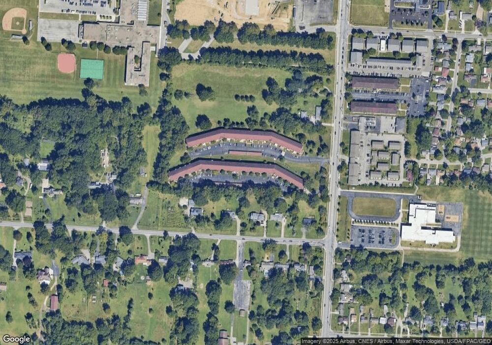
Map
Nearby Homes
- 3941 Karl Rd Unit 326
- 3965 Karl Rd Unit 208
- 3967 Karl Rd Unit 125
- 1440 E Cooke Rd
- 1496 E Cooke Rd
- 4143 Karl Rd Unit 314
- 4145 Karl Rd Unit 4222
- 4141 Karl Rd Unit 307
- 1382 Elmore Ave
- 1665 Sale Rd
- 3749 Ganson Dr
- 1191 Bryson Rd
- 3900 Dresden St
- 1206 Bryson Rd
- 3750 Dresden St
- 995 Overbrook Service Dr
- 4455 Kenfield Rd
- 1863 Ward Rd
- 3519 Gerbert Rd
- 1896 Ormond Ave
- 3939 Karl Rd Unit 302
- 3939 Karl Rd Unit 311
- 3939 Karl Rd Unit 109
- 3939 Karl Rd Unit 300
- 3939 Karl Rd Unit 110
- 3939 Karl Rd Unit 304
- 3939 Karl Rd Unit 115
- 3939 Karl Rd Unit 104
- 3939 Karl Rd
- 3939 Karl Rd
- 3939 Karl Rd
- 3939 Karl Rd Unit 103
- 3939 Karl Rd
- 3939 Karl Rd Unit 204
- 3939 Karl Rd Unit 107
- 3939 Karl Rd Unit 113
- 3939 Karl Rd Unit 205
- 3939 Karl Rd
- 3939 Karl Rd
- 3939 Karl Rd