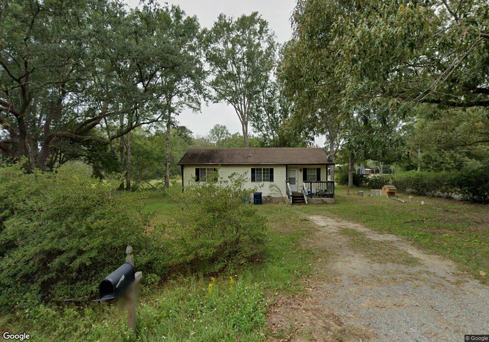
3939 Lampkin Rd Moss Point, MS 39562
Estimated Value: $134,865 - $185,000
3
Beds
2
Baths
1,000
Sq Ft
$160/Sq Ft
Est. Value
About This Home
This home is located at 3939 Lampkin Rd, Moss Point, MS 39562 and is currently estimated at $159,966, approximately $159 per square foot. 3939 Lampkin Rd is a home located in Jackson County with nearby schools including East Central Lower Elementary School, East Central Upper Elementary School, and East Central Middle School.
Ownership History
Date
Name
Owned For
Owner Type
Purchase Details
Closed on
Mar 31, 2015
Sold by
Coleman A D and White Maria Darlene
Bought by
Clark Darryl W
Current Estimated Value
Home Financials for this Owner
Home Financials are based on the most recent Mortgage that was taken out on this home.
Original Mortgage
$86,734
Outstanding Balance
$67,011
Interest Rate
3.84%
Mortgage Type
New Conventional
Estimated Equity
$92,955
Create a Home Valuation Report for This Property
The Home Valuation Report is an in-depth analysis detailing your home's value as well as a comparison with similar homes in the area
Home Values in the Area
Average Home Value in this Area
Purchase History
| Date | Buyer | Sale Price | Title Company |
|---|---|---|---|
| Clark Darryl W | -- | Pilger Title Co |
Source: Public Records
Mortgage History
| Date | Status | Borrower | Loan Amount |
|---|---|---|---|
| Open | Clark Darryl W | $86,734 |
Source: Public Records
Tax History Compared to Growth
Tax History
| Year | Tax Paid | Tax Assessment Tax Assessment Total Assessment is a certain percentage of the fair market value that is determined by local assessors to be the total taxable value of land and additions on the property. | Land | Improvement |
|---|---|---|---|---|
| 2024 | $420 | $5,301 | $1,901 | $3,400 |
| 2023 | $420 | $5,301 | $1,901 | $3,400 |
| 2022 | $402 | $5,301 | $1,901 | $3,400 |
| 2021 | $406 | $5,335 | $1,901 | $3,434 |
| 2020 | $416 | $5,184 | $1,728 | $3,456 |
| 2019 | $409 | $5,184 | $1,728 | $3,456 |
| 2018 | $421 | $5,184 | $1,728 | $3,456 |
| 2017 | $432 | $5,184 | $1,728 | $3,456 |
| 2016 | $407 | $5,184 | $1,728 | $3,456 |
| 2015 | $891 | $49,680 | $17,280 | $32,400 |
| 2014 | $914 | $7,779 | $2,592 | $5,187 |
| 2013 | $883 | $7,779 | $2,592 | $5,187 |
Source: Public Records
Map
Nearby Homes
- 14505 Wolf Ridge Rd
- 3721 Charlie Hudson Rd
- 13875 Wolf Ridge Rd Unit LotWP001
- 13875 Wolf Ridge Rd
- 0 Big Point Unit 4125782
- 13524 Highway 613
- 17116 Pierce St
- 00 Indiantown Rd
- 0 Ms-613 Hwy Unit 4116583
- 0 Ms-613 Hwy Unit 4107607
- 0 Ms-613 Hwy Unit 4107612
- 0 Ms-613 Hwy Unit 4116582
- 13109 Oak Haven Dr
- 10 Ac Donniebrook Ln
- 0 Mississippi 613
- 7605 Methodist Church Rd
- 6112 Hans Rd
- 10413 Charpentier Dr
- 9924 Foxshire Dr
- 0 R B Dickerson Rd
- 3938 Lampkin Rd
- 4000 Lampkin Rd
- 3958 Wolf Bend Rd
- 3932 Lampkin Rd
- 4004 Lampkin Rd
- 3947 Wolf Bend Rd
- 4001 Lampkin Rd
- 3901 Lampkin Rd
- 5AC 5 Wolf Bend Rd Unit Ac
- 5AC 5 Wolf Bend Rd
- 3825 Lampkin Rd
- 3805 Lampkin Rd
- 14613 Wolf Ridge Rd
- 3916 Lampkin Rd
- 14601 Wolf Ridge Rd
- 4021 Lampkin Rd
- 14609 Wolf Ridge Rd
- 14620 Wolf Ridge Rd
- 3705 Lampkin Rd
- 14600 Wolf Ridge Rd