394 Action Ln Ashland City, TN 37015
Estimated Value: $405,000 - $691,917
--
Bed
2
Baths
1,386
Sq Ft
$396/Sq Ft
Est. Value
About This Home
This home is located at 394 Action Ln, Ashland City, TN 37015 and is currently estimated at $548,459, approximately $395 per square foot. 394 Action Ln is a home located in Cheatham County with nearby schools including East Cheatham Elementary School, Sycamore Middle School, and Sycamore High School.
Ownership History
Date
Name
Owned For
Owner Type
Purchase Details
Closed on
Sep 9, 2003
Sold by
Knight Lloyd D
Bought by
Knight Betty F
Current Estimated Value
Home Financials for this Owner
Home Financials are based on the most recent Mortgage that was taken out on this home.
Original Mortgage
$149,350
Outstanding Balance
$69,712
Interest Rate
6.33%
Estimated Equity
$478,747
Purchase Details
Closed on
Nov 4, 1971
Bought by
Baltz Edward C and Baltz Berta B
Create a Home Valuation Report for This Property
The Home Valuation Report is an in-depth analysis detailing your home's value as well as a comparison with similar homes in the area
Home Values in the Area
Average Home Value in this Area
Purchase History
| Date | Buyer | Sale Price | Title Company |
|---|---|---|---|
| Knight Betty F | -- | -- | |
| Baltz Edward C | -- | -- |
Source: Public Records
Mortgage History
| Date | Status | Borrower | Loan Amount |
|---|---|---|---|
| Open | Baltz Edward C | $149,350 |
Source: Public Records
Tax History Compared to Growth
Tax History
| Year | Tax Paid | Tax Assessment Tax Assessment Total Assessment is a certain percentage of the fair market value that is determined by local assessors to be the total taxable value of land and additions on the property. | Land | Improvement |
|---|---|---|---|---|
| 2024 | $1,897 | $109,575 | $33,175 | $76,400 |
| 2023 | $1,945 | $68,300 | $18,825 | $49,475 |
| 2022 | $1,839 | $68,300 | $18,825 | $49,475 |
| 2021 | $1,839 | $68,300 | $18,825 | $49,475 |
| 2020 | $1,839 | $68,300 | $18,825 | $49,475 |
| 2019 | $1,839 | $68,300 | $18,825 | $49,475 |
| 2018 | $1,708 | $54,425 | $13,675 | $40,750 |
| 2017 | $1,616 | $54,425 | $13,675 | $40,750 |
| 2016 | $1,537 | $54,425 | $13,675 | $40,750 |
| 2015 | $1,446 | $47,875 | $13,675 | $34,200 |
| 2014 | $1,446 | $47,875 | $13,675 | $34,200 |
Source: Public Records
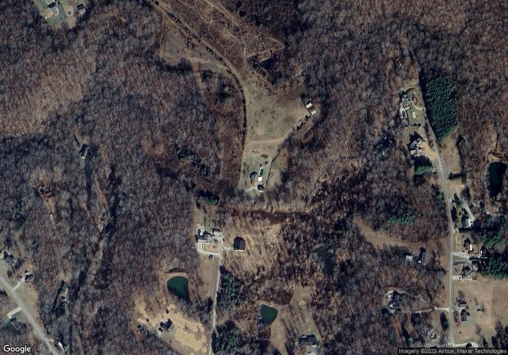
Map
Nearby Homes
- 283 Lady Ln
- 398 Frontier Ln
- 1462 Peter Pond Rd
- 1374 Peter Pond Rd
- 1323 Mount Zion Rd
- 1206 Sycamore Valley Rd
- 1182 Mount Zion Rd
- 2143 Blue Springs Rd
- 1104 Golf Course Ln
- 1242 Peter Pond Rd
- 1020 Golf Course Ln
- 1509 Highway 49 E
- 0 W Side Rd Unit RTC2756551
- 1417 Rooster Ridge Rd
- 1414 Rooster Ridge Rd
- 220 Watershed Ct
- 218 Watershed Ct
- 193 Watershed Ct
- 1354 Rooster Ridge Rd
- 180 Watershed Ct
- 244 Action Ln
- 253 Action Ln
- 2630 Old Clarksville Pike
- 1077 Gasser Rd
- 1075 Gasser Rd
- 2658 Old Clarksville Pike
- 1079 Gasser Rd
- 149 Action Ln
- 2634 Old Clarksville Pike
- 2662 Old Clarksville Pike
- 2672 Old Clarksville Pike
- 1035 Gasser Rd
- 2640 Old Clarksville Pike
- 2644 Old Clarksville Pike
- 1076 Gasser Rd
- 2652 Old Clarksville Pike
- 2670 Old Clarksville Pike
- 1031 Gasser Rd
- 2680 Old Clarksville Pike
- 2682 Old Clarksville Pike