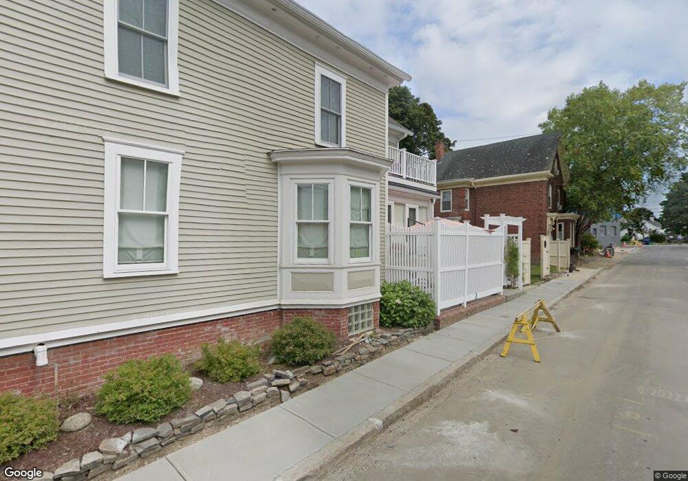
394 Hanover St Portsmouth, NH 03801
West End NeighborhoodEstimated Value: $1,145,000 - $1,468,000
4
Beds
4
Baths
1,798
Sq Ft
$716/Sq Ft
Est. Value
About This Home
This home is located at 394 Hanover St, Portsmouth, NH 03801 and is currently estimated at $1,286,487, approximately $715 per square foot. 394 Hanover St is a home located in Rockingham County with nearby schools including Little Harbour School, Portsmouth Middle School, and Portsmouth High School.
Ownership History
Date
Name
Owned For
Owner Type
Purchase Details
Closed on
Oct 21, 2024
Sold by
Lahan Carol M
Bought by
Carol M Lahan Ret and Lahan
Current Estimated Value
Purchase Details
Closed on
Oct 13, 2017
Sold by
75 Nh Llc
Bought by
85 Nh Ave Llc
Purchase Details
Closed on
Jan 18, 2013
Sold by
Ford Adam E and Ford Deborah S
Bought by
Lahan P Michael and Lahan Carol
Purchase Details
Closed on
Aug 30, 2004
Sold by
Carroll Robert M
Bought by
Ford Adam E and Ford Deborah S
Home Financials for this Owner
Home Financials are based on the most recent Mortgage that was taken out on this home.
Original Mortgage
$256,000
Interest Rate
6.02%
Mortgage Type
Purchase Money Mortgage
Create a Home Valuation Report for This Property
The Home Valuation Report is an in-depth analysis detailing your home's value as well as a comparison with similar homes in the area
Home Values in the Area
Average Home Value in this Area
Purchase History
| Date | Buyer | Sale Price | Title Company |
|---|---|---|---|
| Carol M Lahan Ret | -- | None Available | |
| Carol M Lahan Ret | -- | None Available | |
| 85 Nh Ave Llc | $250,000 | -- | |
| Lahan P Michael | $275,000 | -- | |
| Ford Adam E | $320,000 | -- | |
| Ford Adam E | $320,000 | -- |
Source: Public Records
Mortgage History
| Date | Status | Borrower | Loan Amount |
|---|---|---|---|
| Previous Owner | Ford Adam E | $256,000 | |
| Closed | 85 Nh Ave Llc | $0 |
Source: Public Records
Tax History Compared to Growth
Tax History
| Year | Tax Paid | Tax Assessment Tax Assessment Total Assessment is a certain percentage of the fair market value that is determined by local assessors to be the total taxable value of land and additions on the property. | Land | Improvement |
|---|---|---|---|---|
| 2024 | $12,069 | $1,079,500 | $431,200 | $648,300 |
| 2023 | $10,007 | $620,400 | $249,900 | $370,500 |
| 2022 | $9,430 | $620,400 | $249,900 | $370,500 |
| 2021 | $9,325 | $620,400 | $249,900 | $370,500 |
| 2020 | $9,120 | $620,400 | $249,900 | $370,500 |
| 2019 | $9,219 | $620,400 | $249,900 | $370,500 |
| 2018 | $8,671 | $575,100 | $244,300 | $330,800 |
| 2017 | $7,960 | $535,300 | $204,500 | $330,800 |
| 2016 | $7,687 | $451,100 | $157,100 | $294,000 |
| 2015 | $7,574 | $451,100 | $157,100 | $294,000 |
| 2014 | $7,712 | $426,100 | $163,300 | $262,800 |
| 2013 | $7,565 | $422,400 | $163,300 | $259,100 |
| 2012 | $7,413 | $422,400 | $163,300 | $259,100 |
Source: Public Records
Map
Nearby Homes
- 4 Rock St Unit B
- 99 Foundry Place Unit 106
- 99 Foundry Place Unit 408
- 99 Foundry Place Unit 102
- 99 Foundry Place Unit 310
- 99 Foundry Place Unit 109
- 99 Foundry Place Unit 308
- 99 Foundry Place Unit 208
- 99 Foundry Place Unit 101
- 99 Foundry Place Unit 207
- 99 Foundry Place Unit 301
- 99 Foundry Place Unit 206
- 99 Foundry Place Unit 103
- 332 Hanover St
- 92 Brewster St
- 51 Islington St Unit 406
- 198 Islington St Unit 6
- 70 Maplewood Ave Unit 305
- 70 Maplewood Ave Unit 202
- 70 Maplewood Ave Unit 204
- 362 Hanover St Unit 2
- 362 Hanover St Unit 362 Hanover St.
- 48 Pearl St
- 48 Pearl St Unit 1
- 48 Pearl St Unit 2
- 2 Rock St
- 6 Rock St
- 6 Rock St Unit 4
- 27 Rock St
- 27 Rock St
- 27 Rock St Unit A
- 36 Pearl St
- 44 Rock St
- 34 Rock St
- 37 Rock St
- 26 Rock St
- 407 Hanover St
- 45 Pearl St
- 133 Islington St Unit 9
- 133 Islington St Unit 8