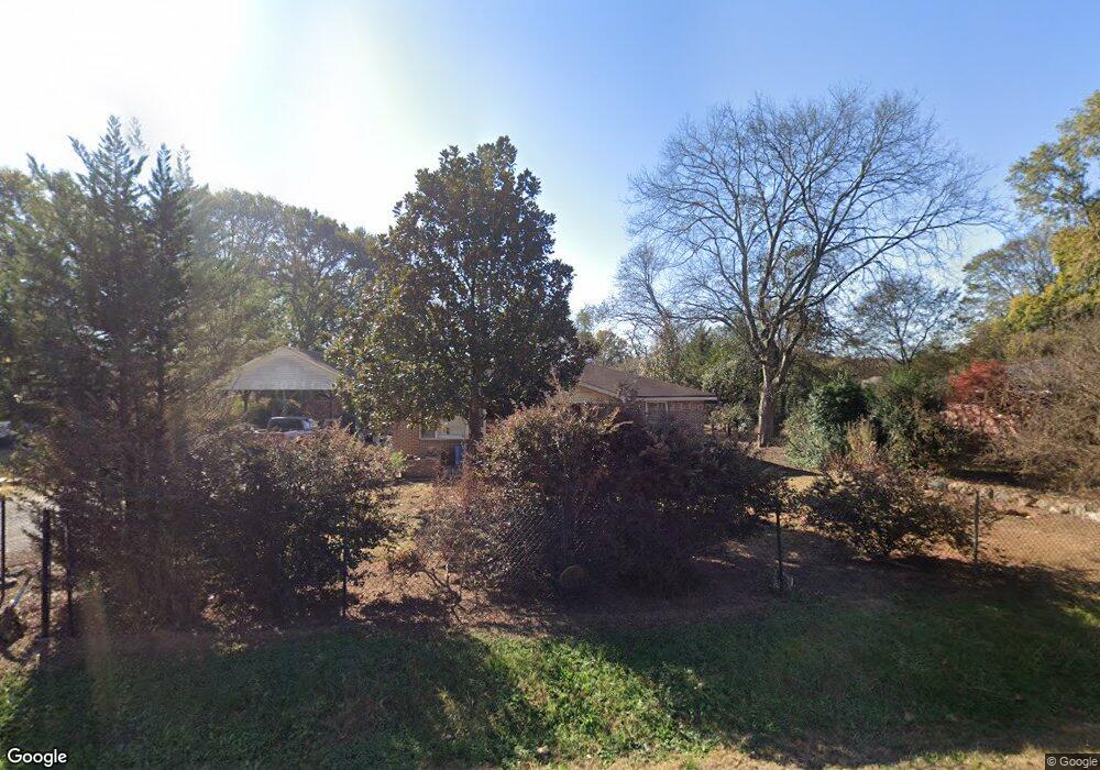
394 Mcarthur St Cedartown, GA 30125
Estimated Value: $147,727 - $202,000
3
Beds
1
Bath
1,040
Sq Ft
$164/Sq Ft
Est. Value
About This Home
This home is located at 394 Mcarthur St, Cedartown, GA 30125 and is currently estimated at $170,432, approximately $163 per square foot. 394 Mcarthur St is a home located in Polk County with nearby schools including Cedar Christian School.
Ownership History
Date
Name
Owned For
Owner Type
Purchase Details
Closed on
Nov 28, 2022
Sold by
Hernandez Elizabeth
Bought by
Hernandez Elizabeth and Hernandez Aldolfo
Current Estimated Value
Purchase Details
Closed on
Jun 18, 2008
Sold by
Wright Lynn H
Bought by
Hernandez Adolfo and Hernandez Elizabeth
Purchase Details
Closed on
Dec 4, 2007
Sold by
Not Provided
Bought by
Hernandez Adolf
Purchase Details
Closed on
Aug 15, 1989
Sold by
Wright Ewell A
Bought by
Wright Ewell A and Wright Ynn
Purchase Details
Closed on
Apr 16, 1965
Sold by
Lester E C
Bought by
Wright Euwell A
Purchase Details
Closed on
Mar 24, 1962
Bought by
Lester E C
Create a Home Valuation Report for This Property
The Home Valuation Report is an in-depth analysis detailing your home's value as well as a comparison with similar homes in the area
Home Values in the Area
Average Home Value in this Area
Purchase History
| Date | Buyer | Sale Price | Title Company |
|---|---|---|---|
| Hernandez Elizabeth | -- | -- | |
| Hernandez Adolfo | $75,500 | -- | |
| Hernandez Adolf | -- | -- | |
| Hernandez Adolf | -- | -- | |
| Wright Ewell A | -- | -- | |
| Wright Euwell A | -- | -- | |
| Lester E C | -- | -- |
Source: Public Records
Tax History Compared to Growth
Tax History
| Year | Tax Paid | Tax Assessment Tax Assessment Total Assessment is a certain percentage of the fair market value that is determined by local assessors to be the total taxable value of land and additions on the property. | Land | Improvement |
|---|---|---|---|---|
| 2024 | $713 | $36,119 | $2,200 | $33,919 |
| 2023 | $557 | $25,484 | $858 | $24,626 |
| 2022 | $469 | $21,747 | $858 | $20,889 |
| 2021 | $475 | $21,747 | $858 | $20,889 |
| 2020 | $476 | $21,747 | $858 | $20,889 |
| 2019 | $464 | $19,261 | $1,695 | $17,566 |
| 2018 | $455 | $18,508 | $1,452 | $17,056 |
| 2017 | $449 | $18,508 | $1,452 | $17,056 |
| 2016 | $449 | $18,508 | $1,452 | $17,056 |
| 2015 | $456 | $18,694 | $1,452 | $17,242 |
| 2014 | $451 | $18,397 | $1,695 | $16,702 |
Source: Public Records
Map
Nearby Homes
- 618 Valley Rd
- 662 Hillside Dr
- 645 Valley Rd
- 660 Valley Rd
- 1101 East Ave
- 109 Perry St
- 10 Woodglen Dr
- 202 Ridgewood Rd
- 77 Ben Dr W
- 209 Ridgewood Rd
- 12 Breckenridge Dr
- 292 Kimwood Dr
- 362 Oakwood Dr
- 254 E Girard Ave
- 462 Oakwood Dr
- 537 Fletcher St
- 00 Juliette St
- 812 Blanche Rd
- 0 Blanche Rd Unit 10609468
- 0 Blanche Rd Unit 7652978