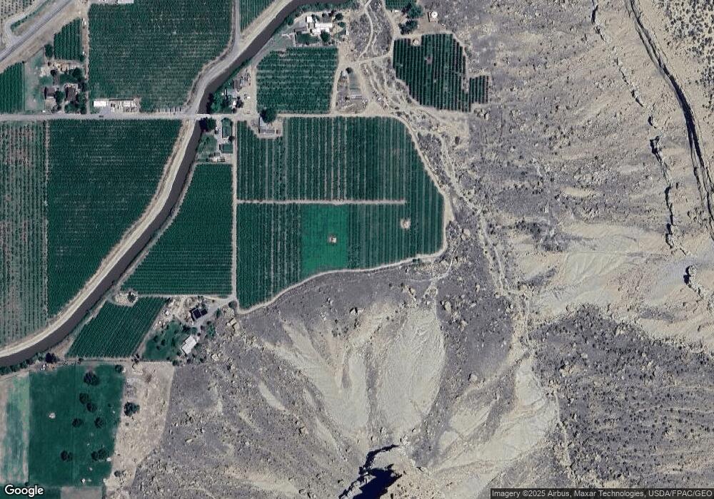
3941 G 2/10 Rd Palisade, CO 81526
East Orchard Mesa NeighborhoodEstimated Value: $355,829 - $486,000
2
Beds
1
Bath
736
Sq Ft
$547/Sq Ft
Est. Value
About This Home
This home is located at 3941 G 2/10 Rd, Palisade, CO 81526 and is currently estimated at $402,943, approximately $547 per square foot. 3941 G 2/10 Rd is a home located in Mesa County with nearby schools including Taylor Elementary School, Mount Garfield Middle School, and Palisade High School.
Ownership History
Date
Name
Owned For
Owner Type
Purchase Details
Closed on
Jan 15, 2004
Sold by
Cameron Thomas Kilby and Cameron Janet K
Bought by
Cameron Thomas K
Current Estimated Value
Create a Home Valuation Report for This Property
The Home Valuation Report is an in-depth analysis detailing your home's value as well as a comparison with similar homes in the area
Home Values in the Area
Average Home Value in this Area
Purchase History
| Date | Buyer | Sale Price | Title Company |
|---|---|---|---|
| Cameron Thomas K | -- | -- |
Source: Public Records
Tax History Compared to Growth
Tax History
| Year | Tax Paid | Tax Assessment Tax Assessment Total Assessment is a certain percentage of the fair market value that is determined by local assessors to be the total taxable value of land and additions on the property. | Land | Improvement |
|---|---|---|---|---|
| 2024 | $2,648 | $10,920 | $5,840 | $5,080 |
| 2023 | $2,648 | $10,920 | $5,840 | $5,080 |
| 2022 | $2,738 | $12,630 | $4,580 | $8,050 |
| 2021 | $2,582 | $13,310 | $5,030 | $8,280 |
| 2020 | $2,239 | $10,540 | $4,060 | $6,480 |
| 2019 | $2,097 | $10,030 | $4,060 | $5,970 |
| 2018 | $2,166 | $10,760 | $5,320 | $5,440 |
| 2017 | $1,958 | $10,760 | $5,320 | $5,440 |
| 2016 | $1,958 | $10,140 | $4,310 | $5,830 |
| 2015 | $1,910 | $10,140 | $4,310 | $5,830 |
| 2014 | $1,785 | $8,060 | $3,120 | $4,940 |
Source: Public Records
Map
Nearby Homes
- 3993 N River Rd
- 314 33 1 2 Rd
- 3858 Puerta Vista Ct
- 585 39 Rd
- 589 39 Rd
- 125 E 1st St
- 101 W 8th St
- 122 W 5th St
- 139 W 6th St
- 3781 Granada Dr Unit 4
- 3781 Granada Dr Unit 3
- 679 Brentwood Dr Unit 2
- 416 W 5th St
- 829 Logan St
- 512 Crawford Ln
- 828 Logan Ct
- 490 Wine Valley Rd
- 845 Logan St
- 532 Crawford Ln
- 846 Cabernet Dr
- 3943 G 2/10 Rd
- 3939 G 2/10 Rd
- 3939 G 2 10 Rd
- 3939 G 2 10 Rd
- 3939 G 2 10 Rd
- 3938 G 2/10 Rd
- G 2 10 Rd
- 3940 G 2 10 Rd
- 3940 G 2/10 Rd
- 774 39 3/8 Rd
- 3924 G 2/10 Rd
- 3931 Highway 6 and 24
- 3939 1/2 G 2/10 Rd
- 768 Castle Dr
- 3939 Highway 6 and 24
- 3939 Highway 6&24
- 770 Castle Dr
- 0 Castle Dr
- 772 Castle Dr
- 774 Castle Dr
