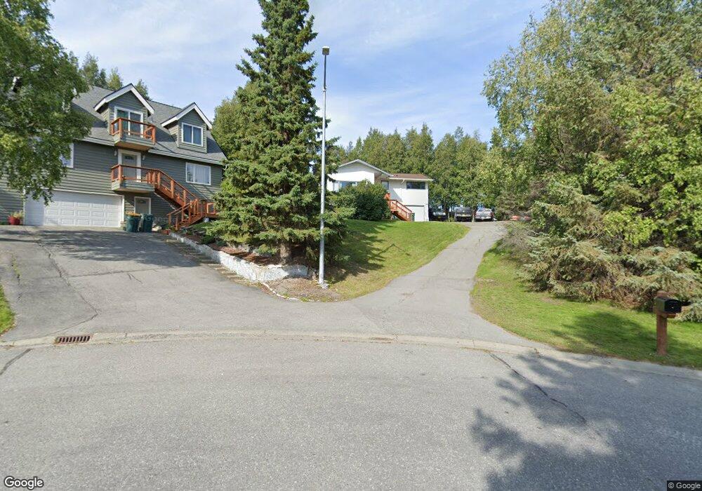
3941 N Point Dr Anchorage, AK 99502
Sand Lake NeighborhoodEstimated Value: $301,000 - $497,000
3
Beds
3
Baths
2,024
Sq Ft
$201/Sq Ft
Est. Value
About This Home
This home is located at 3941 N Point Dr, Anchorage, AK 99502 and is currently estimated at $406,025, approximately $200 per square foot. 3941 N Point Dr is a home located in Anchorage Municipality with nearby schools including Kincaid Elementary, Mears Middle School, and Dimond High School.
Ownership History
Date
Name
Owned For
Owner Type
Purchase Details
Closed on
Aug 10, 2006
Sold by
Tyson Robert G and Tyson Elaine J
Bought by
Ingham Jeffery M
Current Estimated Value
Home Financials for this Owner
Home Financials are based on the most recent Mortgage that was taken out on this home.
Original Mortgage
$252,000
Outstanding Balance
$159,347
Interest Rate
7.96%
Mortgage Type
Purchase Money Mortgage
Estimated Equity
$246,678
Create a Home Valuation Report for This Property
The Home Valuation Report is an in-depth analysis detailing your home's value as well as a comparison with similar homes in the area
Home Values in the Area
Average Home Value in this Area
Purchase History
| Date | Buyer | Sale Price | Title Company |
|---|---|---|---|
| Ingham Jeffery M | -- | Stewart |
Source: Public Records
Mortgage History
| Date | Status | Borrower | Loan Amount |
|---|---|---|---|
| Open | Ingham Jeffery M | $252,000 | |
| Closed | Ingham Jeffery M | $63,000 |
Source: Public Records
Tax History
| Year | Tax Paid | Tax Assessment Tax Assessment Total Assessment is a certain percentage of the fair market value that is determined by local assessors to be the total taxable value of land and additions on the property. | Land | Improvement |
|---|---|---|---|---|
| 2025 | $6,367 | $416,500 | $118,300 | $298,200 |
| 2024 | $6,367 | $399,000 | $118,300 | $280,700 |
| 2023 | $6,253 | $367,200 | $118,300 | $248,900 |
| 2022 | $6,078 | $360,900 | $118,300 | $242,600 |
| 2021 | $5,977 | $331,700 | $118,300 | $213,400 |
| 2020 | $5,581 | $328,300 | $118,300 | $210,000 |
| 2019 | $5,378 | $328,700 | $118,300 | $210,400 |
| 2018 | $5,307 | $323,600 | $118,300 | $205,300 |
| 2017 | $5,121 | $327,000 | $118,300 | $208,700 |
| 2016 | $4,556 | $328,600 | $118,300 | $210,300 |
| 2015 | $4,556 | $324,600 | $118,300 | $206,300 |
| 2014 | $4,556 | $308,800 | $118,300 | $190,500 |
Source: Public Records
Map
Nearby Homes
- 3864 Quartz Cir
- 3820 Runestad Cir
- 3769 Quartz Cir
- 3806 N Point Cir
- 9261 Kirkwall Cir
- 000 W Dimond Blvd
- 9353 Blackberry St Unit 2
- 4140 W 89th Ct
- 4240 Endeavor Cir
- 4024 W 88th Ave
- 4048 W 88th Ave
- 9215 Commons Place Unit 5
- 8823 Jewel Terrace St
- 8731 Jewel Terrace Cir
- L3 Molanary Dr
- 3360 Chaparral Cir
- 8621 Molanary Dr
- 8601 Molanary Dr Unit 7
- 8700 Blackberry St
- 3101 Bettles Bay Loop
- 3941 North Point Dr
- 3951 North Point Dr
- 3951 N Point Dr
- 9430 Dundee Cir
- 9500 Dundee Cir
- 3931 North Point Dr
- 9441 Kylie Cir
- 9420 Dundee Cir
- 9431 Kylie Cir
- 9451 Kylie Cir
- 9510 Dundee Cir
- 4001 North Point Dr
- 4001 N Point Dr
- 3921 N Point Dr
- 3921 North Point Dr
- 3921 N North Point Dr
- 9421 Kylie Cir
- 9410 Dundee Cir
- 4009 North Point Dr
- 3940 North Point Dr
Your Personal Tour Guide
Ask me questions while you tour the home.