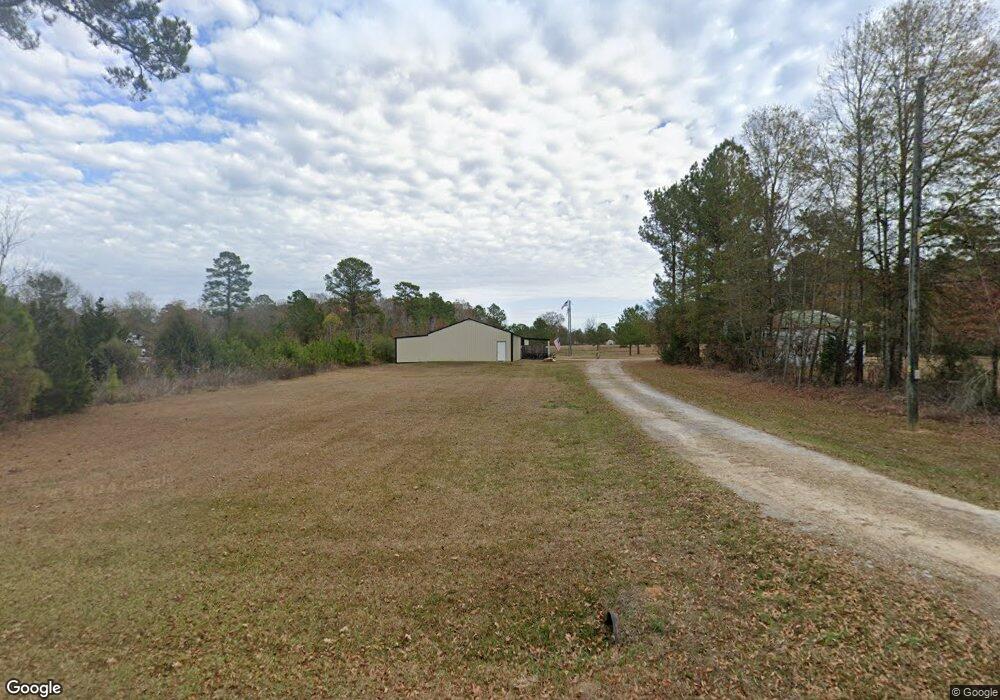
3942 Highway 822 Dubach, LA 71235
Estimated Value: $117,000
Studio
2
Baths
1,200
Sq Ft
$98/Sq Ft
Est. Value
About This Home
This home is located at 3942 Highway 822, Dubach, LA 71235 and is currently priced at $117,000, approximately $97 per square foot. 3942 Highway 822 is a home located in Lincoln Parish with nearby schools including Hillcrest Elementary School, Ruston Elementary School, and Ruston Junior High School.
Ownership History
Date
Name
Owned For
Owner Type
Purchase Details
Closed on
Sep 7, 2011
Sold by
Gallagher Willie and Gallagher Gail Tolbert
Bought by
Green Roy Brandon and Green Angela M Williams
Current Estimated Value
Home Financials for this Owner
Home Financials are based on the most recent Mortgage that was taken out on this home.
Original Mortgage
$59,350
Outstanding Balance
$40,798
Interest Rate
4.34%
Mortgage Type
Unknown
Create a Home Valuation Report for This Property
The Home Valuation Report is an in-depth analysis detailing your home's value as well as a comparison with similar homes in the area
Purchase History
| Date | Buyer | Sale Price | Title Company |
|---|---|---|---|
| Green Roy Brandon | $84,775 | None Available |
Source: Public Records
Mortgage History
| Date | Status | Borrower | Loan Amount |
|---|---|---|---|
| Open | Green Roy Brandon | $59,350 |
Source: Public Records
Tax History
| Year | Tax Paid | Tax Assessment Tax Assessment Total Assessment is a certain percentage of the fair market value that is determined by local assessors to be the total taxable value of land and additions on the property. | Land | Improvement |
|---|---|---|---|---|
| 2024 | $736 | $8,307 | $2,914 | $5,393 |
| 2023 | $721 | $7,859 | $2,364 | $5,495 |
| 2022 | $724 | $7,859 | $2,364 | $5,495 |
| 2021 | $578 | $6,631 | $2,364 | $4,267 |
| 2020 | $850 | $10,139 | $2,364 | $7,775 |
| 2019 | $556 | $6,474 | $1,191 | $5,283 |
| 2018 | $542 | $6,474 | $1,191 | $5,283 |
| 2017 | $470 | $5,463 | $1,191 | $4,272 |
| 2016 | $468 | $0 | $0 | $0 |
| 2015 | $495 | $5,353 | $987 | $4,366 |
| 2013 | $497 | $5,292 | $987 | $4,305 |
Source: Public Records
Map
Nearby Homes
- 641 Goodgoin Rd
- 172 Sav Rd
- 201 Vintage Ln
- 1950 Louisiana 821
- 120 Douglas Ln
- 209 Mount Harmony Church Rd
- 193 Mount Harmony Church Rd
- 1108 Pea Ridge Rd
- 185 Mount Harmony Church Rd
- 137 Mount Harmony Church Rd
- Lot 1B Unit 1 Harmony Church Rd
- 136 Shade Tree Trace
- 173 Oak Alley Dr
- 3252 Highway 821
- 0 Spillers Rd
- 490 New Hope Rd Unit 514 New Hope Rd., 00
- 448 Loblolly Ln
- 305 Oak Alley Dr
- 145 Woodshire Ln
- 6235 Highway 33
- 3898 Highway 822
- 3980 Highway 822
- 3930 Highway 822
- 3930 Louisiana 822
- 3956 Highway 822
- 3894 Highway 822
- 3941 Highway 822
- 3921 Highway 822
- 3951 Highway 822
- 3905 Highway 822
- 3985 Highway 822
- 4009 Highway 822
- 132 Chrisman Rd
- 4753 Highway 33
- 4060 Highway 822
- 196 Lilley Ridge Rd
- 4095 Highway 822
- 4113 Highway 822
- 220 Lilley Ridge Rd
- 155 Sweet Bay Rd