Estimated Value: $541,688
3
Beds
1
Bath
1,984
Sq Ft
$273/Sq Ft
Est. Value
About This Home
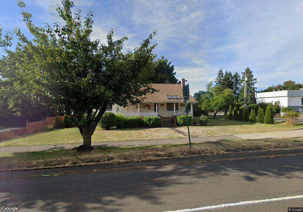
This home is located at 39465 Proctor Blvd, Sandy, OR 97055 and is currently priced at $541,688, approximately $273 per square foot. 39465 Proctor Blvd is a home located in Clackamas County with nearby schools including Sandy Grade School, Cedar Ridge Middle School, and Sandy High School.
Ownership History
Date
Name
Owned For
Owner Type
Purchase Details
Closed on
Dec 11, 2009
Sold by
Speck Mitchell Allen and Speck Deborah Lynn
Bought by
Sdg Properties
Current Estimated Value
Purchase Details
Closed on
Sep 14, 2007
Sold by
Sdg Properties Llc
Bought by
Speck Mitchell Allen and Speck Deborah Lynn
Purchase Details
Closed on
Aug 15, 2005
Sold by
Sherer Vickie A
Bought by
Sdg Properties Llc
Purchase Details
Closed on
Apr 1, 1999
Sold by
Moore Jean Lois
Bought by
Moore Jean L and Jean L Moore Revocable Trust
Create a Home Valuation Report for This Property
The Home Valuation Report is an in-depth analysis detailing your home's value as well as a comparison with similar homes in the area
Home Values in the Area
Average Home Value in this Area
Purchase History
| Date | Buyer | Sale Price | Title Company |
|---|---|---|---|
| Sdg Properties | -- | None Available | |
| Speck Mitchell Allen | $325,000 | Landamerica | |
| Sdg Properties Llc | -- | -- | |
| Sdg Properties Llc | -- | -- | |
| Sdg Properties Llc | -- | -- | |
| Parker Linda L | -- | -- | |
| Moore Jean L | -- | -- |
Source: Public Records
Tax History
| Year | Tax Paid | Tax Assessment Tax Assessment Total Assessment is a certain percentage of the fair market value that is determined by local assessors to be the total taxable value of land and additions on the property. | Land | Improvement |
|---|---|---|---|---|
| 2025 | $1,374 | $80,114 | -- | -- |
| 2024 | $1,317 | $77,781 | -- | -- |
| 2023 | $1,317 | $75,516 | $0 | $0 |
| 2022 | $1,247 | $73,317 | $0 | $0 |
| 2021 | $1,204 | $71,182 | $0 | $0 |
| 2020 | $1,172 | $69,109 | $0 | $0 |
| 2019 | $1,160 | $67,097 | $0 | $0 |
| 2018 | $1,128 | $65,143 | $0 | $0 |
| 2017 | $1,101 | $63,246 | $0 | $0 |
| 2016 | $1,063 | $61,404 | $0 | $0 |
Source: Public Records
Map
Nearby Homes
- 0 Oregon 211
- 38915 Sandy Heights St
- 38851 Sandy Heights St
- 38565 Pleasant St
- 18050 SE Langensand Rd
- 38376 Hood St
- 38510 Bickford St
- 39784 Syblon Ln
- 18052 Seaman St
- 17925 Beebee Ct
- 18712 Cloud Cap Ave
- 18462 SE Langensand Rd
- 38091 Sunset St
- 17655 Bluff Rd Unit 73
- 17655 Bluff Rd Unit 42
- 40192 Laurel St
- 18350 Tickle Creek Ave
- 38029 SE Marcella Ct
- 0 SE Coalman Rd
- 37867 College St
- 17341 Revenue Ave
- 39392 Pleasant Ave
- 39560 Pleasant St
- 39560 Pleasant Ave
- 17275 Revenue Ave
- 39435 Pleasant Ave
- 39415 Pleasant Ave
- 39395 Pleasant Ave
- 39355 Pleasant Ave
- 39261 Proctor Blvd
- 39274 Pleasant Ave
- 17242 Hoffman Ave
- 39325 Pleasant Ave
- 39625 Proctor Blvd
- 39400 Hood St
- 39268 Pleasant St
- 17230 Revenue Ave
- 17232 Hoffman Ave
- 39268 Pleasant Ave
- 39344 Hood St
Your Personal Tour Guide
Ask me questions while you tour the home.
