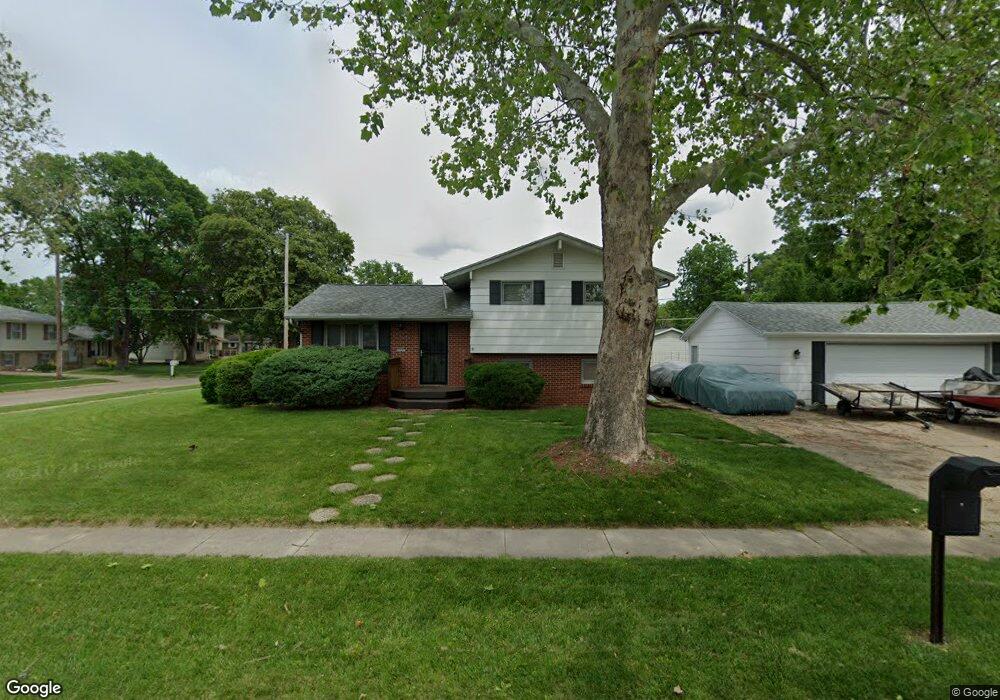
3947 Lay St Des Moines, IA 50317
Douglas Acres NeighborhoodEstimated Value: $207,000 - $244,000
3
Beds
2
Baths
931
Sq Ft
$244/Sq Ft
Est. Value
About This Home
This home is located at 3947 Lay St, Des Moines, IA 50317 and is currently estimated at $227,346, approximately $244 per square foot. 3947 Lay St is a home located in Polk County with nearby schools including Garton Elementary School, Goodrell Middle School, and North High School.
Ownership History
Date
Name
Owned For
Owner Type
Purchase Details
Closed on
Feb 28, 2005
Sold by
Boylan Larry D
Bought by
Arway David E
Current Estimated Value
Home Financials for this Owner
Home Financials are based on the most recent Mortgage that was taken out on this home.
Original Mortgage
$108,000
Outstanding Balance
$54,750
Interest Rate
5.71%
Mortgage Type
Fannie Mae Freddie Mac
Estimated Equity
$172,596
Purchase Details
Closed on
Mar 1, 2003
Sold by
Boylan Larry D
Bought by
Boylan Larry D
Purchase Details
Closed on
Nov 16, 1999
Sold by
Leverenz John Robert
Bought by
Leverenz Kathy Diane and Boylan Kathy Diane
Create a Home Valuation Report for This Property
The Home Valuation Report is an in-depth analysis detailing your home's value as well as a comparison with similar homes in the area
Home Values in the Area
Average Home Value in this Area
Purchase History
| Date | Buyer | Sale Price | Title Company |
|---|---|---|---|
| Arway David E | $107,500 | -- | |
| Boylan Larry D | -- | -- | |
| Leverenz Kathy Diane | -- | -- |
Source: Public Records
Mortgage History
| Date | Status | Borrower | Loan Amount |
|---|---|---|---|
| Open | Arway David E | $108,000 |
Source: Public Records
Tax History
| Year | Tax Paid | Tax Assessment Tax Assessment Total Assessment is a certain percentage of the fair market value that is determined by local assessors to be the total taxable value of land and additions on the property. | Land | Improvement |
|---|---|---|---|---|
| 2025 | $3,246 | $198,600 | $44,600 | $154,000 |
| 2024 | $3,246 | $175,500 | $38,700 | $136,800 |
| 2023 | $3,150 | $175,500 | $38,700 | $136,800 |
| 2022 | $3,124 | $142,500 | $32,500 | $110,000 |
| 2021 | $3,034 | $142,500 | $32,500 | $110,000 |
| 2020 | $3,148 | $130,200 | $30,000 | $100,200 |
| 2019 | $2,752 | $130,200 | $30,000 | $100,200 |
| 2018 | $2,718 | $110,900 | $24,900 | $86,000 |
| 2017 | $2,566 | $110,900 | $24,900 | $86,000 |
| 2016 | $2,496 | $103,400 | $22,900 | $80,500 |
| 2015 | $2,496 | $103,400 | $22,900 | $80,500 |
| 2014 | $2,854 | $116,100 | $25,400 | $90,700 |
Source: Public Records
Map
Nearby Homes
- 3851 E 25th St
- 3904 E 26th St
- 3941 E 26th St
- 3926 E 27th St
- 4128 E 27th St
- 3827 E 27th St
- 4300 NE 27th St
- 2814 E Douglas Ave
- 2606 NE 44th Ave
- 2407 E Tiffin Ave
- 2704 Wedgewood Rd
- 3811 E 29th St
- 4147 E 29th St
- 2776 NE Norwood Ln
- 3207 E 26th St
- 2718 E Tiffin Ave
- 2722 E Tiffin Ave
- 3933 E 30th St
- 2719 E Tiffin Ave
- 2630 NE Aurora Ave
- 2427 E Madison Ave
- 3945 Lay St
- 3946 Lay St
- 2433 E Madison Ave
- 3941 Lay St
- 2422 E Madison Ave
- 3942 Lay St
- 2426 E Madison Ave
- 3938 Lay St
- 2405 E Madison Ave
- 4000 Lay St
- 3935 Lay St
- 2434 E Madison Ave
- 4015 Lay St
- 2401 E Madison Ave
- 4008 Lay St
- 2441 E Madison Ave
- 4010 E 24th Ct
- 3932 Lay St
- 4001 E 24th St
Your Personal Tour Guide
Ask me questions while you tour the home.