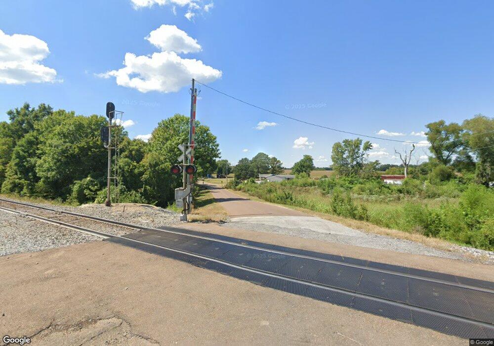
3947 Locust Grove Rd Newbern, TN 38059
Estimated Value: $174,000 - $307,000
--
Bed
1
Bath
1,094
Sq Ft
$203/Sq Ft
Est. Value
About This Home
This home is located at 3947 Locust Grove Rd, Newbern, TN 38059 and is currently estimated at $221,667, approximately $202 per square foot. 3947 Locust Grove Rd is a home with nearby schools including Trimble Elementary School, Northview Middle School, and Dyer County High School.
Ownership History
Date
Name
Owned For
Owner Type
Purchase Details
Closed on
Apr 18, 2009
Sold by
Hayes Ricky
Bought by
Lowery Albert
Current Estimated Value
Purchase Details
Closed on
Mar 24, 2006
Bought by
Hayes Ricky and Hayes Karen Hayes
Purchase Details
Closed on
Sep 10, 1993
Bought by
Parks John
Purchase Details
Closed on
Apr 30, 1979
Bought by
Tabor Haskell and Tabor Ruby
Create a Home Valuation Report for This Property
The Home Valuation Report is an in-depth analysis detailing your home's value as well as a comparison with similar homes in the area
Home Values in the Area
Average Home Value in this Area
Purchase History
| Date | Buyer | Sale Price | Title Company |
|---|---|---|---|
| Lowery Albert | $13,500 | -- | |
| Hayes Ricky | $12,000 | -- | |
| Parks John | $3,500 | -- | |
| Tabor Haskell | -- | -- |
Source: Public Records
Tax History Compared to Growth
Tax History
| Year | Tax Paid | Tax Assessment Tax Assessment Total Assessment is a certain percentage of the fair market value that is determined by local assessors to be the total taxable value of land and additions on the property. | Land | Improvement |
|---|---|---|---|---|
| 2024 | $598 | $24,300 | $5,625 | $18,675 |
| 2023 | $598 | $24,300 | $5,625 | $18,675 |
| 2022 | $576 | $24,300 | $5,625 | $18,675 |
| 2021 | $576 | $24,300 | $5,625 | $18,675 |
| 2020 | $594 | $24,300 | $5,625 | $18,675 |
| 2019 | $592 | $22,375 | $5,625 | $16,750 |
| 2018 | $592 | $22,375 | $5,625 | $16,750 |
| 2017 | $32 | $1,225 | $1,225 | $0 |
| 2016 | $32 | $1,225 | $1,225 | $0 |
| 2015 | $31 | $1,225 | $1,225 | $0 |
| 2014 | $31 | $1,225 | $1,225 | $0 |
Source: Public Records
Map
Nearby Homes
- 314 Palestine Rd
- 0 Locust Grove Rd
- 1585 Sharps Ferry Rd
- 45 Miller St
- 783 Sharps Ferry Rd
- 908 Granite Dr
- 0 Biffle Rd
- 610 N Grayson St
- 215 Shawnee Cobb Rd
- 0 Shawnee Cobb Rd
- 310 N Grayson St
- 309 N Grayson St
- 502 E Johnson St
- 188 Mill St
- 404 E Johnson St
- 99 W Mitchell St
- 0 N Quincy St
- 408 E Main St
- 521 E Main St
- 603 E Main St
- 3947 Sharpsferry Rd
- 1477 Locust Grove Rd
- 3975 Sharpsferry Rd
- 3850 Sharpsferry Rd
- 3851 Sharpsferry Rd
- 4064 Sharpsferry Rd
- 3842 Sharpsferry Rd
- 4081 Sharpsferry Rd
- 1285 Locust Grove Rd
- 1568 Locust Grove Rd
- 3810 Sharpsferry Rd
- 1274 Locust Grove Rd
- 4100 Sharpsferry Rd
- 1597 Locust Grove Rd
- 3766 Sharpsferry Rd
- 1608 Locust Grove Rd
- 3759 Sharpsferry Rd
- 3732 Sharpsferry Rd
- 4160 Sharpsferry Rd
- 1628 Locust Grove Rd
