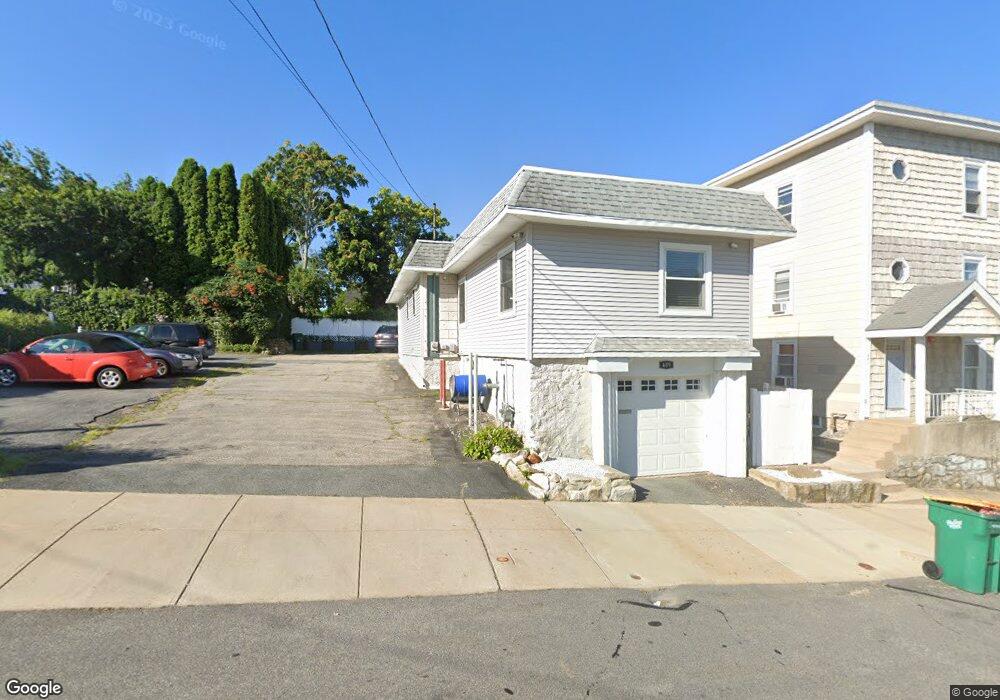
395 Bernon St Woonsocket, RI 02895
Bernon District NeighborhoodEstimated Value: $242,000 - $335,000
4
Beds
1
Bath
1,550
Sq Ft
$189/Sq Ft
Est. Value
About This Home
This home is located at 395 Bernon St, Woonsocket, RI 02895 and is currently estimated at $292,941, approximately $188 per square foot. 395 Bernon St is a home located in Providence County with nearby schools including Woonsocket High School, Founders Academy, and Beacon Charter School.
Ownership History
Date
Name
Owned For
Owner Type
Purchase Details
Closed on
Sep 6, 2005
Sold by
Hutchins Robin S
Bought by
Desjarlais Michelle L
Current Estimated Value
Home Financials for this Owner
Home Financials are based on the most recent Mortgage that was taken out on this home.
Original Mortgage
$116,800
Interest Rate
5.81%
Mortgage Type
Purchase Money Mortgage
Purchase Details
Closed on
Oct 1, 1996
Sold by
Christiansen Suzanne T and Lussier Pauline M
Bought by
Hutchins Robin S
Create a Home Valuation Report for This Property
The Home Valuation Report is an in-depth analysis detailing your home's value as well as a comparison with similar homes in the area
Home Values in the Area
Average Home Value in this Area
Purchase History
| Date | Buyer | Sale Price | Title Company |
|---|---|---|---|
| Desjarlais Michelle L | $146,000 | -- | |
| Hutchins Robin S | $49,000 | -- | |
| Desjarlais Michelle L | $146,000 | -- | |
| Hutchins Robin S | $49,000 | -- |
Source: Public Records
Mortgage History
| Date | Status | Borrower | Loan Amount |
|---|---|---|---|
| Open | Hutchins Robin S | $172,000 | |
| Closed | Hutchins Robin S | $116,800 | |
| Closed | Hutchins Robin S | $29,200 |
Source: Public Records
Tax History Compared to Growth
Tax History
| Year | Tax Paid | Tax Assessment Tax Assessment Total Assessment is a certain percentage of the fair market value that is determined by local assessors to be the total taxable value of land and additions on the property. | Land | Improvement |
|---|---|---|---|---|
| 2025 | $3,253 | $289,700 | $80,700 | $209,000 |
| 2024 | $3,283 | $225,800 | $82,200 | $143,600 |
| 2023 | $3,157 | $225,800 | $82,200 | $143,600 |
| 2022 | $3,157 | $225,800 | $82,200 | $143,600 |
| 2021 | $3,073 | $129,400 | $33,400 | $96,000 |
| 2020 | $3,106 | $129,400 | $33,400 | $96,000 |
| 2018 | $3,116 | $129,400 | $33,400 | $96,000 |
| 2017 | $3,221 | $107,000 | $36,700 | $70,300 |
| 2016 | $3,407 | $107,000 | $36,700 | $70,300 |
| 2015 | $3,914 | $107,000 | $36,700 | $70,300 |
| 2014 | $3,702 | $103,000 | $40,300 | $62,700 |
Source: Public Records
Map
Nearby Homes
- 233 Grove St
- 102 Willow St
- 17 Wilson Ave
- 24 Paradis Ave
- 35 Greene St
- 379 Front St
- 216 Maple St
- 74 Maple St
- 219 Crawford St
- 148 Bernon St Unit 15
- 148 Bernon St Unit 26
- 148 Bernon St Unit 19
- 529 Park Ave
- 99 Allen St Unit 205
- 222 Carrington Ave
- 204 Welles St
- 71 Hamlet Ave
- 58 Harrison Ave
- 25 Jillson Ave
- 64 Harrison Ave