Estimated Value: $466,000 - $552,000
3
Beds
2
Baths
3,099
Sq Ft
$170/Sq Ft
Est. Value
About This Home
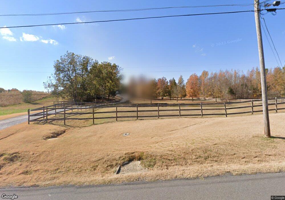
This home is located at 395 Bethel Rd, Atoka, TN 38004 and is currently estimated at $527,664, approximately $170 per square foot. 395 Bethel Rd is a home located in Tipton County with nearby schools including Atoka Elementary School, Munford Middle School, and Munford High School.
Ownership History
Date
Name
Owned For
Owner Type
Purchase Details
Closed on
Oct 26, 2017
Sold by
Thompson Richard E
Bought by
Thompson Richard E and Thompson Linda A
Current Estimated Value
Purchase Details
Closed on
Mar 20, 2013
Sold by
Thompson Richard E
Bought by
Thompson Richard E
Purchase Details
Closed on
Apr 23, 2010
Sold by
Jolly David J
Bought by
Thompson Richard E
Home Financials for this Owner
Home Financials are based on the most recent Mortgage that was taken out on this home.
Original Mortgage
$261,182
Interest Rate
4.75%
Mortgage Type
FHA
Create a Home Valuation Report for This Property
The Home Valuation Report is an in-depth analysis detailing your home's value as well as a comparison with similar homes in the area
Home Values in the Area
Average Home Value in this Area
Purchase History
| Date | Buyer | Sale Price | Title Company |
|---|---|---|---|
| Thompson Richard E | -- | -- | |
| Thompson Richard E | -- | -- | |
| Thompson Richard E | $266,000 | -- |
Source: Public Records
Mortgage History
| Date | Status | Borrower | Loan Amount |
|---|---|---|---|
| Previous Owner | Thompson Richard E | $261,182 |
Source: Public Records
Tax History Compared to Growth
Tax History
| Year | Tax Paid | Tax Assessment Tax Assessment Total Assessment is a certain percentage of the fair market value that is determined by local assessors to be the total taxable value of land and additions on the property. | Land | Improvement |
|---|---|---|---|---|
| 2024 | $1,907 | $125,325 | $19,550 | $105,775 |
| 2023 | $1,907 | $125,325 | $19,550 | $105,775 |
| 2022 | $1,812 | $88,825 | $14,375 | $74,450 |
| 2021 | $1,812 | $88,825 | $14,375 | $74,450 |
| 2020 | $1,811 | $88,825 | $14,375 | $74,450 |
| 2019 | $1,865 | $77,050 | $12,950 | $64,100 |
| 2018 | $1,785 | $73,775 | $12,950 | $60,825 |
| 2017 | $1,785 | $73,775 | $12,950 | $60,825 |
| 2016 | $1,785 | $73,775 | $12,950 | $60,825 |
| 2015 | $1,783 | $73,775 | $12,950 | $60,825 |
| 2014 | $1,671 | $69,141 | $0 | $0 |
Source: Public Records
Map
Nearby Homes
- 91 Bethel Rd
- 256 Azalea Dr
- 0 Meade Lake Rd Unit 10196514
- 512 Kearns Cir
- 1240 Je Blaydes Pkwy
- 18 Fox Trot Ln
- 153 Ash Rene Dr
- 33 Hattie Ln
- 8645 Rosalee Ln
- 156 Farmer Trail
- 01 Cobb Ave
- 02 Cobb Ave
- 03 Cobb Ave
- 95 Wallace Cove
- 343 Brittany Ln
- 9700 N Helene Cove
- 107 Farmer Trail
- 665 Betty Boyd Ln
- 13724 51 S Highway Hwy
- 135 Jaimes Ln