Estimated Value: $304,000 - $373,000
3
Beds
2
Baths
2,572
Sq Ft
$131/Sq Ft
Est. Value
About This Home
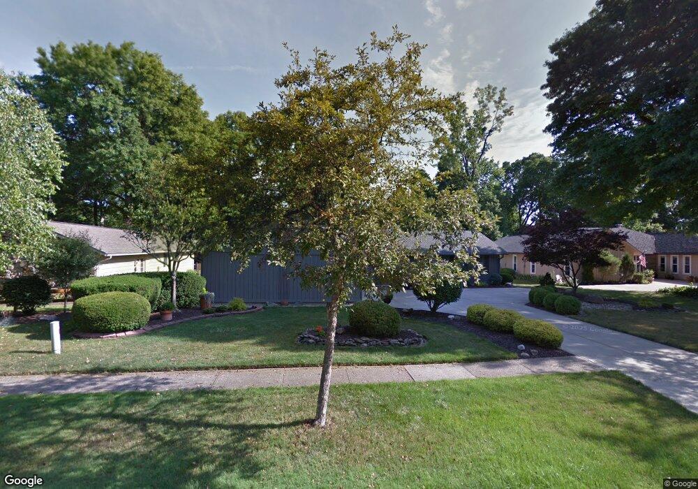
This home is located at 395 Cranston Dr, Berea, OH 44017 and is currently estimated at $338,080, approximately $131 per square foot. 395 Cranston Dr is a home located in Cuyahoga County with nearby schools including Grindstone Elementary School, Berea-Midpark Middle School, and Berea-Midpark High School.
Ownership History
Date
Name
Owned For
Owner Type
Purchase Details
Closed on
Dec 13, 1991
Sold by
Curti Charles F
Bought by
Bergstresser Arthur R
Current Estimated Value
Purchase Details
Closed on
Jul 18, 1986
Sold by
Oltman Oltman C C and Oltman Shirley
Bought by
Curti Charles F
Purchase Details
Closed on
Jul 30, 1982
Sold by
Friedman Harold E
Bought by
Oltman Oltman C and Oltman Shirley
Purchase Details
Closed on
Apr 16, 1980
Bought by
Friedman Harold E
Purchase Details
Closed on
Jan 1, 1975
Bought by
Friedman Harold E and Friedman Ruth R
Create a Home Valuation Report for This Property
The Home Valuation Report is an in-depth analysis detailing your home's value as well as a comparison with similar homes in the area
Home Values in the Area
Average Home Value in this Area
Purchase History
| Date | Buyer | Sale Price | Title Company |
|---|---|---|---|
| Bergstresser Arthur R | $140,000 | -- | |
| Curti Charles F | $111,000 | -- | |
| Oltman Oltman C | $105,000 | -- | |
| Friedman Harold E | -- | -- | |
| Friedman Penny - Trustee | -- | -- | |
| Friedman Harold E | -- | -- |
Source: Public Records
Mortgage History
| Date | Status | Borrower | Loan Amount |
|---|---|---|---|
| Closed | Bergstresser Arthur R | $54,500 |
Source: Public Records
Tax History Compared to Growth
Tax History
| Year | Tax Paid | Tax Assessment Tax Assessment Total Assessment is a certain percentage of the fair market value that is determined by local assessors to be the total taxable value of land and additions on the property. | Land | Improvement |
|---|---|---|---|---|
| 2024 | $5,075 | $97,580 | $18,900 | $78,680 |
| 2023 | $3,829 | $64,410 | $16,140 | $48,270 |
| 2022 | $3,833 | $64,400 | $16,140 | $48,270 |
| 2021 | $3,799 | $64,400 | $16,140 | $48,270 |
| 2020 | $3,531 | $54,600 | $13,690 | $40,920 |
| 2019 | $3,437 | $156,000 | $39,100 | $116,900 |
| 2018 | $3,424 | $54,600 | $13,690 | $40,920 |
| 2017 | $3,643 | $54,120 | $12,360 | $41,760 |
| 2016 | $3,616 | $54,120 | $12,360 | $41,760 |
| 2015 | $3,631 | $54,120 | $12,360 | $41,760 |
| 2014 | $3,631 | $56,950 | $13,020 | $43,930 |
Source: Public Records
Map
Nearby Homes
- 565 Wyleswood Dr
- Passionflower II Plan at Aspire at Longbrooke
- Daffodil II Plan at Aspire at Longbrooke
- 591 Wyleswood Dr
- 575 Wyleswood Dr
- 549 Wyleswood Dr
- 543 Wyleswood Dr
- 537 Wyleswood Dr
- 517 Wyleswood Dr
- 530 Crossbrook Dr
- 467 Southham Cir
- 724 Wyleswood Dr
- 525 Beeler Dr
- 376 Girard Dr
- 732 Wyleswood Dr
- 366 Adrian Dr
- 405 Baldwin Dr
- 248 Franklin Dr
- 451 Edgewood Cir
- 23002 Chandlers Ln Unit 224