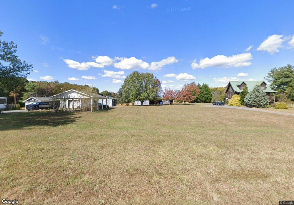
395 Deadmon Rd Mocksville, NC 27028
Estimated Value: $340,000 - $1,743,925
2
Beds
2
Baths
1,870
Sq Ft
$557/Sq Ft
Est. Value
About This Home
This home is located at 395 Deadmon Rd, Mocksville, NC 27028 and is currently estimated at $1,041,963, approximately $557 per square foot. 395 Deadmon Rd is a home located in Davie County with nearby schools including Mocksville Elementary School, South Davie Middle, and Davie County High School.
Ownership History
Date
Name
Owned For
Owner Type
Purchase Details
Closed on
May 1, 1992
Current Estimated Value
Create a Home Valuation Report for This Property
The Home Valuation Report is an in-depth analysis detailing your home's value as well as a comparison with similar homes in the area
Home Values in the Area
Average Home Value in this Area
Purchase History
| Date | Buyer | Sale Price | Title Company |
|---|---|---|---|
| -- | $175,000 | -- |
Source: Public Records
Tax History Compared to Growth
Tax History
| Year | Tax Paid | Tax Assessment Tax Assessment Total Assessment is a certain percentage of the fair market value that is determined by local assessors to be the total taxable value of land and additions on the property. | Land | Improvement |
|---|---|---|---|---|
| 2025 | $7,962 | $1,156,240 | $0 | $0 |
| 2024 | $6,293 | $814,160 | $0 | $0 |
| 2023 | $6,012 | $777,750 | $0 | $0 |
| 2022 | $4,601 | $595,220 | $0 | $0 |
| 2021 | $4,601 | $595,220 | $0 | $0 |
| 2020 | $4,272 | $548,910 | $0 | $0 |
| 2019 | $4,272 | $548,910 | $0 | $0 |
| 2018 | $4,271 | $548,910 | $0 | $0 |
| 2017 | $4,219 | $548,910 | $0 | $0 |
| 2016 | $4,549 | $592,300 | $0 | $0 |
| 2015 | $4,549 | $592,300 | $0 | $0 |
| 2014 | $3,909 | $592,300 | $0 | $0 |
| 2013 | -- | $592,300 | $0 | $0 |
Source: Public Records
Map
Nearby Homes
- 130 Turrentine Church Rd
- 124 E Chinaberry Ct
- 408 E Lake Dr
- 718 Deadmon Rd
- 232 Walt Wilson Rd
- 186 Crestview Dr
- 135 Winding Creek Rd
- 701 E Lexington Rd
- 158 John Crotts Rd
- 876 Deadmon Rd
- 882 Deadmon Rd
- 890 Deadmon Rd
- 898 Deadmon Rd
- 906 Deadmon Rd
- 916 Deadmon Rd
- 792 S Main St
- 193 Big Laurel Dr
- 191 Big Laurel Dr
- KYLE Plan at Hudson Glen
- BELHAVEN Plan at Hudson Glen
- 259 Deacon Way
- 265 Deacon Way
- 262 Deacon Way
- 247 Deacon Way
- 256 Deacon Way
- 239 Deacon Way
- 246 Deacon Way
- 217 Deacon Way
- 226 Deacon Way
- 193 Deacon Way
- 346 Rollingwood Dr
- 328 Rollingwood Dr
- 0 Deacon Way
- 318 Rollingwood Dr
- 194 Deacon Way
- 161 Deacon Way
- 0 Eaton Rd
- 178 Deacon Way
- 250 Rollingwood Dr
- 333 Rollingwood Dr