395 Little Hill Rd Webster, NH 03303
Estimated Value: $575,454 - $626,000
3
Beds
3
Baths
2,172
Sq Ft
$276/Sq Ft
Est. Value
About This Home
This home is located at 395 Little Hill Rd, Webster, NH 03303 and is currently estimated at $599,818, approximately $276 per square foot. 395 Little Hill Rd is a home with nearby schools including Webster Elementary School, Merrimack Valley Middle School, and Merrimack Valley High School.
Ownership History
Date
Name
Owned For
Owner Type
Purchase Details
Closed on
Jun 21, 2005
Sold by
Olsen Stanley C
Bought by
Peter Gary Llc
Current Estimated Value
Home Financials for this Owner
Home Financials are based on the most recent Mortgage that was taken out on this home.
Original Mortgage
$1,300,000
Outstanding Balance
$679,551
Interest Rate
5.78%
Mortgage Type
Purchase Money Mortgage
Estimated Equity
-$79,733
Create a Home Valuation Report for This Property
The Home Valuation Report is an in-depth analysis detailing your home's value as well as a comparison with similar homes in the area
Home Values in the Area
Average Home Value in this Area
Purchase History
| Date | Buyer | Sale Price | Title Company |
|---|---|---|---|
| Peter Gary Llc | $1,800,000 | -- |
Source: Public Records
Mortgage History
| Date | Status | Borrower | Loan Amount |
|---|---|---|---|
| Open | Peter Gary Llc | $181,834 | |
| Open | Peter Gary Llc | $1,300,000 |
Source: Public Records
Tax History Compared to Growth
Tax History
| Year | Tax Paid | Tax Assessment Tax Assessment Total Assessment is a certain percentage of the fair market value that is determined by local assessors to be the total taxable value of land and additions on the property. | Land | Improvement |
|---|---|---|---|---|
| 2024 | $6,563 | $422,600 | $115,600 | $307,000 |
| 2023 | $6,288 | $422,600 | $115,600 | $307,000 |
| 2022 | $5,907 | $258,500 | $75,500 | $183,000 |
| 2021 | $5,604 | $251,400 | $75,500 | $175,900 |
| 2020 | $3 | $251,400 | $75,500 | $175,900 |
| 2019 | $5,521 | $251,400 | $75,500 | $175,900 |
| 2018 | $3 | $238,900 | $75,500 | $163,400 |
| 2017 | $65,983 | $215,800 | $51,300 | $164,500 |
| 2016 | $64,651 | $215,800 | $51,300 | $164,500 |
| 2015 | $5,196 | $215,800 | $51,300 | $164,500 |
| 2014 | $4,897 | $215,800 | $51,300 | $164,500 |
| 2013 | $4,613 | $212,300 | $51,300 | $161,000 |
Source: Public Records
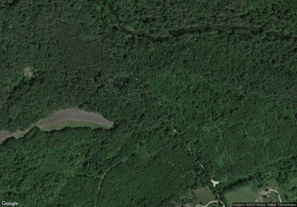
Map
Nearby Homes
- 220 Couchtown Rd
- 231 Mutton Rd
- 110 Pearson Hill Rd
- 233 Hensmith Rd
- 71 Old Pumpkin Hill Rd
- 10 Call Rd
- 7 Cashell Ln
- 74 Kearsarge Mountain Rd
- 437 High St
- 516 W Salisbury Rd
- 298 Battle St
- 41 School St
- Map 6, Lot 38 Chadwick Hill Rd
- 122 Centennial Dr
- 114 Nh Route 103 E
- 168 Route 103 E
- 0 Route 103 W Unit 4983896
- 29 Centennial Dr
- 0 Waldron Hill Rd Unit 30-2-3
- 0 Waldron Hill Rd Unit 30-2-4
- 373 Little Hill Rd
- 32 Little Hill Rd
- 0 Little Hill Rd
- 388 Little Hill Rd
- 423 Little Hill Rd
- 374 Little Hill Rd
- 398 Little Hill Rd
- 380 Little Hill Rd
- 346 Little Hill Rd
- 401 Little Hill Rd
- 269 Little Hill Rd
- 230 Little Hill Rd
- 222 Little Hill Rd
- 207 Little Hill Rd
- 185 Little Hill Rd
- 153 Little Hill Rd
- 164 Little Hill Rd
- 145 Little Hill Rd
- 135 Little Hill Rd