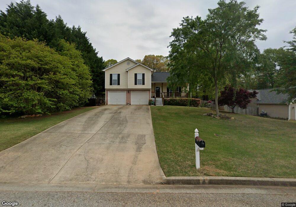
395 Lokeys Ridge Rd Bethlehem, GA 30620
Estimated Value: $322,211 - $353,000
--
Bed
3
Baths
1,680
Sq Ft
$202/Sq Ft
Est. Value
About This Home
This home is located at 395 Lokeys Ridge Rd, Bethlehem, GA 30620 and is currently estimated at $338,553, approximately $201 per square foot. 395 Lokeys Ridge Rd is a home located in Barrow County with nearby schools including Yargo Elementary School, Haymon-Morris Middle School, and Apalachee High School.
Ownership History
Date
Name
Owned For
Owner Type
Purchase Details
Closed on
May 11, 2001
Sold by
Souhtfork Homes
Bought by
Mcbrien James J and Mcbrien Tammy A
Current Estimated Value
Home Financials for this Owner
Home Financials are based on the most recent Mortgage that was taken out on this home.
Original Mortgage
$110,400
Outstanding Balance
$41,071
Interest Rate
6.98%
Mortgage Type
FHA
Estimated Equity
$297,482
Purchase Details
Closed on
Feb 3, 2000
Bought by
Parkview Development
Create a Home Valuation Report for This Property
The Home Valuation Report is an in-depth analysis detailing your home's value as well as a comparison with similar homes in the area
Home Values in the Area
Average Home Value in this Area
Purchase History
| Date | Buyer | Sale Price | Title Company |
|---|---|---|---|
| Mcbrien James J | $120,900 | -- | |
| Parkview Development | -- | -- |
Source: Public Records
Mortgage History
| Date | Status | Borrower | Loan Amount |
|---|---|---|---|
| Open | Mcbrien James J | $110,400 |
Source: Public Records
Tax History Compared to Growth
Tax History
| Year | Tax Paid | Tax Assessment Tax Assessment Total Assessment is a certain percentage of the fair market value that is determined by local assessors to be the total taxable value of land and additions on the property. | Land | Improvement |
|---|---|---|---|---|
| 2024 | $2,461 | $111,146 | $25,200 | $85,946 |
| 2023 | $2,049 | $111,546 | $25,200 | $86,346 |
| 2022 | $2,137 | $81,578 | $20,000 | $61,578 |
| 2021 | $1,997 | $71,460 | $16,000 | $55,460 |
| 2020 | $1,801 | $63,304 | $16,000 | $47,304 |
| 2019 | $1,829 | $63,304 | $16,000 | $47,304 |
| 2018 | $1,736 | $60,504 | $13,200 | $47,304 |
| 2017 | $1,501 | $51,536 | $13,200 | $38,336 |
| 2016 | $1,317 | $45,234 | $13,200 | $32,034 |
| 2015 | $1,323 | $45,234 | $13,200 | $32,034 |
| 2014 | $1,138 | $38,862 | $6,468 | $32,394 |
| 2013 | -- | $36,826 | $6,468 | $30,358 |
Source: Public Records
Map
Nearby Homes
- 303 Ron Dr
- 209 Angie Way
- 1441 Dillard Heights Dr
- 1129 Loganville Hwy
- 0 Jb Owens Unit 7552902
- 0 Jb Owens Unit 7552891
- 0 Jb Owens Unit LOT 2 - 2.09 ACRES
- 0 Jb Owens Unit LOT 3 - 2.01 ACRES
- 758 Clarence Edwards Rd
- 1111 Otis Dr
- 190 Lokeys Ln
- 1024 Lyndhurst Ln
- The Barnes Plan at River Meadows
- The Paisley Plan at River Meadows
- The Rose II Plan at River Meadows
- The Logan Plan at River Meadows
- 1164 Otis Dr
- 637 Sleeping Meadow Ln
- 0 Tanners Bridge Rd Unit 10588144
- 286 Meadows Dr
- 397 Lokeys Ridge Rd
- 393 Lokeys Ridge Rd
- 399 Lokeys Ridge Rd
- 391 Lokeys Ridge Rd Unit 44A
- 391 Lokeys Ridge Rd
- 391 Lokey's Ridge Rd
- 399 Lokey's Ridge Rd
- 392 Lokeys Ridge Rd
- 401 Lokeys Ridge Rd
- 389 Lokeys Ridge Rd Unit 43A
- 389 Lokeys Ridge Rd
- 394 Lokeys Ridge Rd Unit 40B
- 394 Lokeys Ridge Rd
- 396 Lokeys Ridge Rd Unit 41B
- 390 Lokeys Ridge Rd
- 398 Lokeys Ridge Rd
- 398 Lokeys Ridge Rd Unit 1
- 790 Brookelynn Trace
- 400 Lokeys Ridge Rd
- 792 Brookelyn Trace