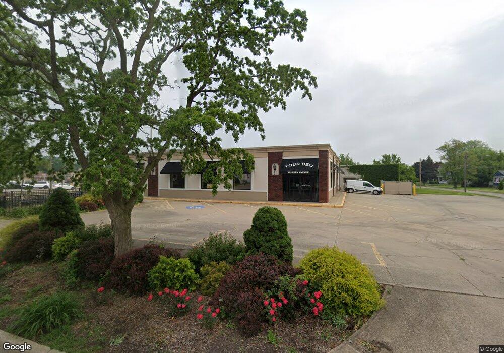
395 Park Ave Amherst, OH 44001
Studio
--
Bath
6,988
Sq Ft
15,246
Sq Ft
About This Home
This home is located at 395 Park Ave, Amherst, OH 44001. 395 Park Ave is a home located in Lorain County with nearby schools including Powers Elementary School, Walter G. Nord Middle School, and Amherst Junior High School.
Ownership History
Date
Name
Owned For
Owner Type
Purchase Details
Closed on
Apr 21, 2020
Sold by
Dixon Greg
Bought by
Debra Rexroad Dixon Llc
Purchase Details
Closed on
Apr 28, 2010
Sold by
Dixon Debra and Dixon Gregory A
Bought by
Debra Rexroad Dixon Llc
Home Financials for this Owner
Home Financials are based on the most recent Mortgage that was taken out on this home.
Original Mortgage
$158,250
Outstanding Balance
$106,639
Interest Rate
5.16%
Mortgage Type
Future Advance Clause Open End Mortgage
Purchase Details
Closed on
Apr 22, 2010
Sold by
Higgins Pharmacy Lands Inc
Bought by
Dixon Debra
Home Financials for this Owner
Home Financials are based on the most recent Mortgage that was taken out on this home.
Original Mortgage
$158,250
Outstanding Balance
$106,639
Interest Rate
5.16%
Mortgage Type
Future Advance Clause Open End Mortgage
Create a Home Valuation Report for This Property
The Home Valuation Report is an in-depth analysis detailing your home's value as well as a comparison with similar homes in the area
Home Values in the Area
Average Home Value in this Area
Purchase History
| Date | Buyer | Sale Price | Title Company |
|---|---|---|---|
| Debra Rexroad Dixon Llc | -- | None Available | |
| Debra Rexroad Dixon Llc | -- | Attorney | |
| Dixon Debra | $101,000 | None Available |
Source: Public Records
Mortgage History
| Date | Status | Borrower | Loan Amount |
|---|---|---|---|
| Open | Debra Rexroad Dixon Llc | $158,250 |
Source: Public Records
Tax History
| Year | Tax Paid | Tax Assessment Tax Assessment Total Assessment is a certain percentage of the fair market value that is determined by local assessors to be the total taxable value of land and additions on the property. | Land | Improvement |
|---|---|---|---|---|
| 2024 | $7,705 | $155,327 | $16,503 | $138,824 |
| 2023 | $6,922 | $116,515 | $13,083 | $103,432 |
| 2022 | $6,737 | $116,515 | $13,083 | $103,432 |
| 2021 | $6,801 | $116,515 | $13,083 | $103,432 |
| 2020 | $7,057 | $116,510 | $13,080 | $103,430 |
| 2019 | $6,905 | $116,510 | $13,080 | $103,430 |
| 2018 | $6,895 | $116,510 | $13,080 | $103,430 |
| 2017 | $7,103 | $108,520 | $11,320 | $97,200 |
| 2016 | $7,116 | $108,520 | $11,320 | $97,200 |
| 2015 | $7,118 | $108,520 | $11,320 | $97,200 |
| 2014 | $7,079 | $108,520 | $11,320 | $97,200 |
| 2013 | $7,042 | $108,520 | $11,320 | $97,200 |
Source: Public Records
Map
Nearby Homes
- 2176 Myla Way
- 661 Tenney Ave
- 495 Church St
- 774 Tenney Ave
- 472 Sunset Dr
- 376 Taylor St
- 0 Stonebridge Dr
- 578 N Main St
- 653 Brennan Dr
- 772 Shadow Creek Trail
- 701 Shadow Creek Trail
- 707 Lincoln St
- 46580 Middle Ridge Rd
- 703 N Main St
- 135 Ridgeland Dr
- V/L Middle Ridge Rd
- 0 Middle Ridge Rd Unit 5180506
- 0 Middle Ridge Rd Unit 5102632
- 953 Longitude Ln
- 757 W Martin Ave
Your Personal Tour Guide
Ask me questions while you tour the home.