395 Red Tail Ln Dorset, VT 05251
Estimated Value: $787,000 - $1,606,709
5
Beds
4
Baths
3,215
Sq Ft
$400/Sq Ft
Est. Value
About This Home
This home is located at 395 Red Tail Ln, Dorset, VT 05251 and is currently estimated at $1,287,177, approximately $400 per square foot. 395 Red Tail Ln is a home located in Bennington County with nearby schools including The Dorset School.
Ownership History
Date
Name
Owned For
Owner Type
Purchase Details
Closed on
Dec 18, 2018
Sold by
Morritt Ellen H and Morritt Gary W
Bought by
Adler Laurie Jill and Walker Joseph Kent
Current Estimated Value
Purchase Details
Closed on
Aug 29, 2006
Sold by
Castles Arminda J and Castles John W
Bought by
Morritt Gary W and Morritt Ellen H
Purchase Details
Closed on
Nov 30, 2005
Sold by
Castles John W
Bought by
Mauro Charles D
Purchase Details
Closed on
Oct 28, 2005
Sold by
Castles John W and Castles Arminda
Bought by
Castles John W
Purchase Details
Closed on
Mar 14, 2005
Sold by
Castles John W and Castles Arminda
Bought by
Castles John W and Castles Arminda
Create a Home Valuation Report for This Property
The Home Valuation Report is an in-depth analysis detailing your home's value as well as a comparison with similar homes in the area
Home Values in the Area
Average Home Value in this Area
Purchase History
| Date | Buyer | Sale Price | Title Company |
|---|---|---|---|
| Adler Laurie Jill | -- | -- | |
| Morritt Gary W | $685,000 | -- | |
| Mauro Charles D | $315,000 | -- | |
| Mauro Charles D | $315,000 | -- | |
| Castles John W | -- | -- | |
| Castles John W | -- | -- |
Source: Public Records
Tax History Compared to Growth
Tax History
| Year | Tax Paid | Tax Assessment Tax Assessment Total Assessment is a certain percentage of the fair market value that is determined by local assessors to be the total taxable value of land and additions on the property. | Land | Improvement |
|---|---|---|---|---|
| 2024 | -- | $922,560 | $543,200 | $379,360 |
| 2023 | -- | $746,560 | $366,500 | $380,060 |
| 2022 | $14,495 | $746,560 | $366,500 | $380,060 |
| 2021 | $14,103 | $746,560 | $366,500 | $380,060 |
| 2020 | $13,879 | $746,560 | $366,500 | $380,060 |
| 2019 | $13,141 | $746,560 | $366,500 | $380,060 |
| 2018 | $13,063 | $746,560 | $366,500 | $380,060 |
| 2016 | $12,697 | $746,600 | $366,500 | $380,060 |
Source: Public Records
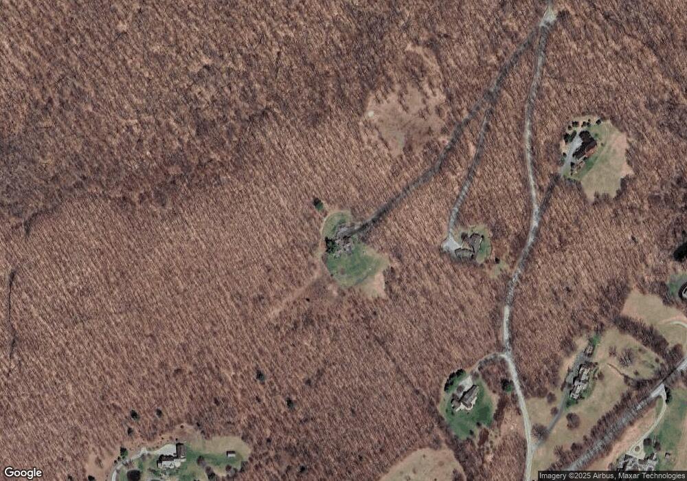
Map
Nearby Homes
- 0 Tower Rd Unit 28
- 215 Vermont 30
- 198 Church St
- 3622 Dorset West Rd
- 2744 Danby Mountain Rd
- 0 Foote Rd Unit 5053891
- 2937 Dorset Rd W
- 500 Nims Rd
- 144 Scallop Dr
- 27 Owls Head Hill Ln
- 318 Spring Hill Ln
- 7 Timberbrook N
- 81 Fern Hill
- 376 Windward Hill
- 109 Nichols Hill Ln
- 397 Fern Hill
- 0 Havoc Hill
- 120 Village St
- 81 Windward S
- 393 Morse Hill Rd
- 395 Red Tail Ln
- 00 Red Tail Ln
- 125 Red Tail Ln
- 50 Red Tail Ln
- 240 Red Tail Ln
- 237 Lily Pond Ln
- B6 Red Tail Lane Upper Hollow
- 1741 Upper Hollow Rd
- 1741 Upper Hollow Rd
- 1674 Upper Hollow Rd
- 0 Lily Pond Ln
- 0 Lily Pond Ln
- 0 Lily Pond Ln
- 0 Lily Pond Ln Unit 3108672
- 00 Lily Pond Ln Unit 6-50.1
- 0 Lily Pond Ln Unit 4810570
- 0 Lily Pond Ln Unit 3062598
- 0 Lily Pond Ln Unit 2753666
- 1325 Upper Hollow Rd
- 1676 Upper Hollow Rd