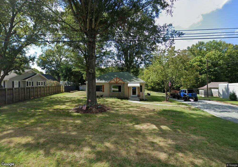
395 Ridge Rd Lexington, NC 27295
Estimated Value: $89,000 - $192,000
2
Beds
1
Bath
1,156
Sq Ft
$115/Sq Ft
Est. Value
About This Home
This home is located at 395 Ridge Rd, Lexington, NC 27295 and is currently estimated at $133,055, approximately $115 per square foot. 395 Ridge Rd is a home located in Davidson County with nearby schools including Welcome Elementary School, North Davidson Middle School, and North Davidson High School.
Ownership History
Date
Name
Owned For
Owner Type
Purchase Details
Closed on
Mar 9, 2022
Sold by
Coleman Janet E
Bought by
Needham Michael R and Needham Joyce T
Current Estimated Value
Home Financials for this Owner
Home Financials are based on the most recent Mortgage that was taken out on this home.
Original Mortgage
$78,000
Outstanding Balance
$62,944
Interest Rate
3.15%
Mortgage Type
Seller Take Back
Estimated Equity
$70,111
Purchase Details
Closed on
Sep 9, 2015
Sold by
Coleman Benny R and Coleman Janet E
Bought by
Benny And Janet Coleman Revocable Trust and Coleman Janet E
Purchase Details
Closed on
Apr 1, 1984
Create a Home Valuation Report for This Property
The Home Valuation Report is an in-depth analysis detailing your home's value as well as a comparison with similar homes in the area
Home Values in the Area
Average Home Value in this Area
Purchase History
| Date | Buyer | Sale Price | Title Company |
|---|---|---|---|
| Needham Michael R | $80,000 | None Listed On Document | |
| Benny And Janet Coleman Revocable Trust | -- | Attorney | |
| -- | $20,000 | -- |
Source: Public Records
Mortgage History
| Date | Status | Borrower | Loan Amount |
|---|---|---|---|
| Open | Needham Michael R | $78,000 |
Source: Public Records
Tax History Compared to Growth
Tax History
| Year | Tax Paid | Tax Assessment Tax Assessment Total Assessment is a certain percentage of the fair market value that is determined by local assessors to be the total taxable value of land and additions on the property. | Land | Improvement |
|---|---|---|---|---|
| 2025 | $458 | $69,350 | $0 | $0 |
| 2024 | $416 | $63,070 | $0 | $0 |
| 2023 | $416 | $63,070 | $0 | $0 |
| 2022 | $433 | $65,550 | $0 | $0 |
| 2021 | $433 | $65,550 | $0 | $0 |
| 2020 | $355 | $53,790 | $0 | $0 |
| 2019 | $360 | $53,790 | $0 | $0 |
| 2018 | $350 | $53,790 | $0 | $0 |
| 2017 | $350 | $53,790 | $0 | $0 |
| 2016 | $350 | $53,790 | $0 | $0 |
| 2015 | $350 | $53,790 | $0 | $0 |
| 2014 | $364 | $55,960 | $0 | $0 |
Source: Public Records
Map
Nearby Homes
- 0 Pilgrim Ct
- 185 Olivia Dr
- 452 S Old Greensboro Rd
- 0 American Way
- 1130 Greensboro Street Extension
- 590 Walker Blvd
- 284 Arbor Trail
- 342 Northview Dr
- 412 Bethesda Rd
- 156 Somerton Ln
- 1 Harb Dr
- 31 Conrad St
- 1016 Harb Dr
- 1018 Harb Dr
- 1016 Harb Dr
- 1010 Harb Dr
- 1019 Harb Dr
- 1017 Harb Dr
- 1006 Harb Dr
- 1020 Harb Dr