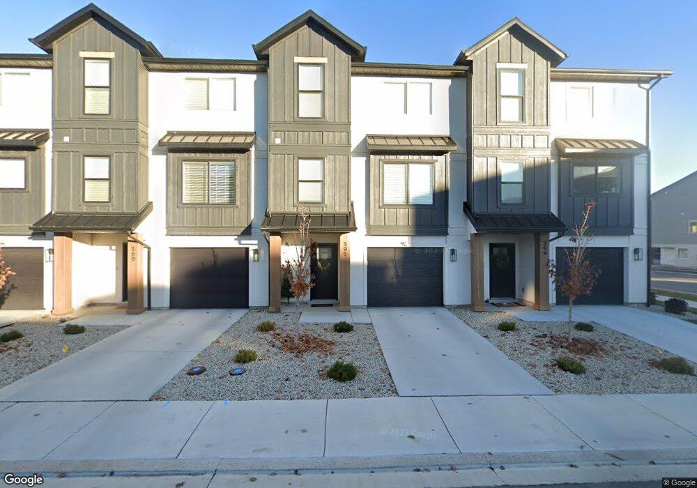
395 S 650 E American Fork, UT 84003
Estimated Value: $459,568 - $501,000
3
Beds
2
Baths
2,101
Sq Ft
$228/Sq Ft
Est. Value
About This Home
This home is located at 395 S 650 E, American Fork, UT 84003 and is currently estimated at $479,856, approximately $228 per square foot. 395 S 650 E is a home with nearby schools including American Fork Junior High School, American Fork High School, and Athenian eAcademy.
Ownership History
Date
Name
Owned For
Owner Type
Purchase Details
Closed on
Jun 3, 2022
Sold by
Terracom Ck Pr
Bought by
Luminary Ck Llc
Current Estimated Value
Purchase Details
Closed on
Aug 25, 2021
Sold by
Luminary Ck Llc
Bought by
Murdock Bridger and Gunter Whitney
Home Financials for this Owner
Home Financials are based on the most recent Mortgage that was taken out on this home.
Original Mortgage
$387,000
Interest Rate
2.8%
Mortgage Type
New Conventional
Purchase Details
Closed on
Aug 31, 2020
Sold by
Pr Terracom Ck
Bought by
Luminary Ck Llc
Home Financials for this Owner
Home Financials are based on the most recent Mortgage that was taken out on this home.
Original Mortgage
$10,478,231
Interest Rate
2.9%
Mortgage Type
Future Advance Clause Open End Mortgage
Create a Home Valuation Report for This Property
The Home Valuation Report is an in-depth analysis detailing your home's value as well as a comparison with similar homes in the area
Home Values in the Area
Average Home Value in this Area
Purchase History
| Date | Buyer | Sale Price | Title Company |
|---|---|---|---|
| Luminary Ck Llc | -- | None Listed On Document | |
| Murdock Bridger | -- | 1St Liberty Title Llc | |
| Luminary Ck Llc | -- | 1St Liberty Title |
Source: Public Records
Mortgage History
| Date | Status | Borrower | Loan Amount |
|---|---|---|---|
| Previous Owner | Murdock Bridger | $387,000 | |
| Previous Owner | Luminary Ck Llc | $10,478,231 |
Source: Public Records
Tax History
| Year | Tax Paid | Tax Assessment Tax Assessment Total Assessment is a certain percentage of the fair market value that is determined by local assessors to be the total taxable value of land and additions on the property. | Land | Improvement |
|---|---|---|---|---|
| 2025 | $2,239 | $249,425 | -- | -- |
| 2024 | $2,239 | $248,765 | $0 | $0 |
| 2023 | $2,007 | $236,390 | $0 | $0 |
| 2022 | $1,994 | $231,825 | $0 | $0 |
| 2021 | $1,165 | $211,500 | $51,400 | $160,100 |
| 2020 | $929 | $90,000 | $90,000 | $0 |
| 2019 | $898 | $90,000 | $90,000 | $0 |
Source: Public Records
Map
Nearby Homes
- 389 S 650 E Unit 161
- 399 S 650 E
- 383 S 650 E
- 383 S 650 E Unit 162
- 396 S 680 E Unit 157
- 394 S 680 E Unit 156
- 398 S 680 E Unit 158
- 392 S 680 E Unit 155
- 392 S 680 E
- 377 S 650 E
- 388 S 680 E Unit 154
- 371 S 650 E Unit 164
- 371 S 650 E
- 386 S 680 E Unit 153
- 367 S 650 E
- 384 S 680 E
- 384 S 680 E Unit 152
- 396 S 650 E
- 384 S 650 E
- 384 S 650 E Unit 68
Your Personal Tour Guide
Ask me questions while you tour the home.