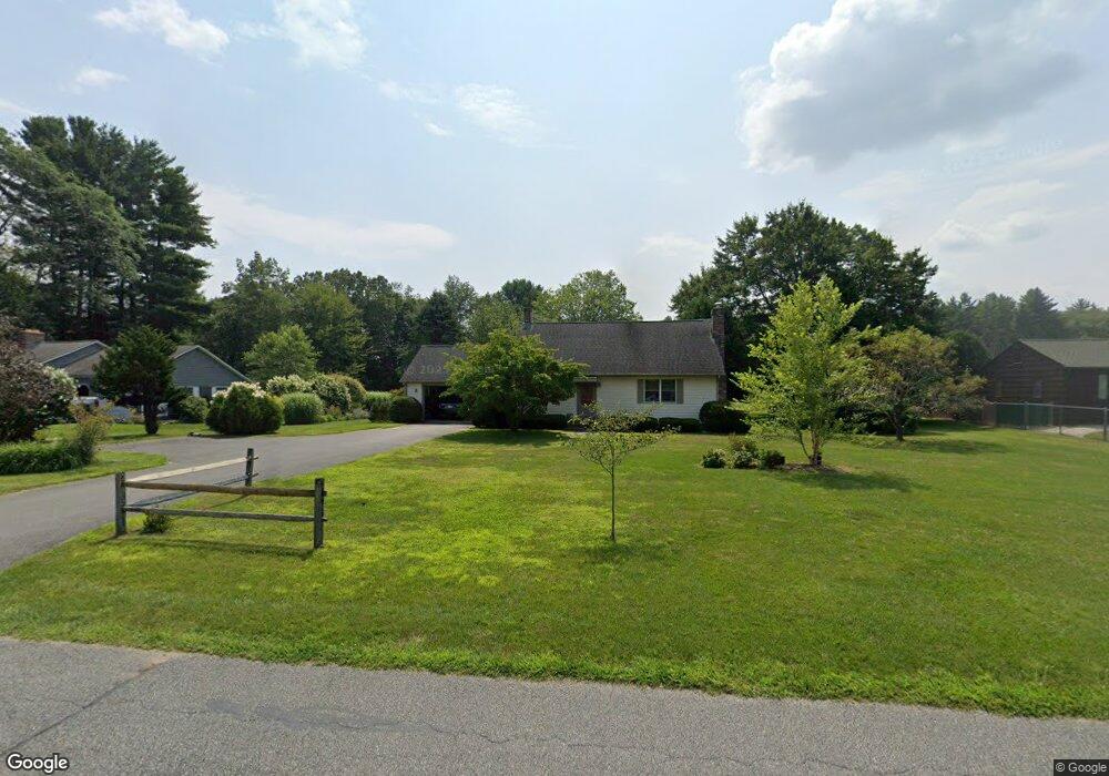
395 Salisbury Rd Sheffield, MA 01257
Estimated Value: $365,536 - $520,000
3
Beds
2
Baths
1,550
Sq Ft
$288/Sq Ft
Est. Value
About This Home
This home is located at 395 Salisbury Rd, Sheffield, MA 01257 and is currently estimated at $446,134, approximately $287 per square foot. 395 Salisbury Rd is a home located in Berkshire County with nearby schools including Mt. Everett High School.
Ownership History
Date
Name
Owned For
Owner Type
Purchase Details
Closed on
Jan 17, 2001
Sold by
Lecakis Nancy H
Bought by
Pitman Theodore B and Pitman Susan E
Current Estimated Value
Home Financials for this Owner
Home Financials are based on the most recent Mortgage that was taken out on this home.
Original Mortgage
$124,500
Outstanding Balance
$45,869
Interest Rate
7.52%
Mortgage Type
Purchase Money Mortgage
Estimated Equity
$400,265
Create a Home Valuation Report for This Property
The Home Valuation Report is an in-depth analysis detailing your home's value as well as a comparison with similar homes in the area
Home Values in the Area
Average Home Value in this Area
Purchase History
| Date | Buyer | Sale Price | Title Company |
|---|---|---|---|
| Pitman Theodore B | $189,500 | -- |
Source: Public Records
Mortgage History
| Date | Status | Borrower | Loan Amount |
|---|---|---|---|
| Open | Pitman Theodore B | $124,500 |
Source: Public Records
Tax History Compared to Growth
Tax History
| Year | Tax Paid | Tax Assessment Tax Assessment Total Assessment is a certain percentage of the fair market value that is determined by local assessors to be the total taxable value of land and additions on the property. | Land | Improvement |
|---|---|---|---|---|
| 2025 | $3,896 | $321,700 | $66,500 | $255,200 |
| 2024 | $3,780 | $321,700 | $66,500 | $255,200 |
| 2023 | $3,491 | $321,700 | $66,500 | $255,200 |
| 2022 | $3,491 | $280,600 | $66,500 | $214,100 |
| 2021 | $3,489 | $251,400 | $63,300 | $188,100 |
| 2020 | $3,332 | $238,000 | $63,300 | $174,700 |
| 2019 | $3,359 | $216,700 | $55,000 | $161,700 |
| 2018 | $3,194 | $216,700 | $55,000 | $161,700 |
| 2017 | $3,181 | $216,700 | $55,000 | $161,700 |
| 2016 | $3,351 | $233,700 | $71,500 | $162,200 |
| 2015 | $3,386 | $233,700 | $71,500 | $162,200 |
Source: Public Records
Map
Nearby Homes
- 321 Salisbury Rd
- 412 Berkshire School Rd
- 166 Berkshire School Rd
- 119 S Main St
- 86 Main St
- 168 Main St
- 175 Main St
- 254 Main St
- 232 Giberson Rd
- 454 Sheffield Plain
- 856 Barnum St
- 604 Sheffield Plain
- 16 Lilac Ln
- 95 Water Farm Rd
- 414 S Undermountain Rd
- 60 Parsley Ln
- 381 Sheffield-Egremont Rd
- 649 Hewins St
- 483 Home Rd
- 1669 Silver St
- 375 Salisbury Rd
- 403 Salisbury Rd
- 361 Salisbury Rd
- 407 Salisbury Rd
- 1119 Home Rd
- 355 Salisbury Rd
- 425 Salisbury Rd
- 340 Salisbury Rd
- 450 Salisbury Rd
- 459 Salisbury Rd
- 3 Barnum St
- 326 Salisbury Rd
- 00 Barnum St
- 303 Salisbury Rd
- 320 Salisbury Rd
- 301 Salisbury Rd
- 296 Salisbury Rd
- 30 Barnum St
- 299 Salisbury Rd