395 Southfork Rd Mount Ida, AR 71957
Estimated Value: $192,000 - $253,060
3
Beds
2
Baths
1,500
Sq Ft
$148/Sq Ft
Est. Value
About This Home
This home is located at 395 Southfork Rd, Mount Ida, AR 71957 and is currently estimated at $221,515, approximately $147 per square foot. 395 Southfork Rd is a home located in Montgomery County with nearby schools including Bobby Barrett Elementary and Mount Ida High School.
Ownership History
Date
Name
Owned For
Owner Type
Purchase Details
Closed on
Nov 19, 2015
Bought by
Cordero Guadalupe B
Current Estimated Value
Purchase Details
Closed on
Mar 27, 2000
Bought by
Spivey L Barry
Purchase Details
Closed on
Jan 1, 1992
Bought by
Spivey L Barry
Purchase Details
Closed on
Jan 1, 1984
Bought by
Spivey Spivey L and Spivey Sharon
Purchase Details
Closed on
Jan 1, 1910
Bought by
Hicks Porter
Create a Home Valuation Report for This Property
The Home Valuation Report is an in-depth analysis detailing your home's value as well as a comparison with similar homes in the area
Purchase History
| Date | Buyer | Sale Price | Title Company |
|---|---|---|---|
| Cordero Guadalupe B | -- | -- | |
| Spivey L Barry | -- | -- | |
| Spivey L Barry | -- | -- | |
| Spivey Spivey L | -- | -- | |
| Hicks Porter | -- | -- |
Source: Public Records
Tax History Compared to Growth
Tax History
| Year | Tax Paid | Tax Assessment Tax Assessment Total Assessment is a certain percentage of the fair market value that is determined by local assessors to be the total taxable value of land and additions on the property. | Land | Improvement |
|---|---|---|---|---|
| 2025 | $467 | $34,470 | $6,780 | $27,690 |
| 2024 | $520 | $34,470 | $6,780 | $27,690 |
| 2023 | $560 | $34,470 | $6,780 | $27,690 |
| 2022 | $563 | $22,180 | $6,280 | $15,900 |
| 2021 | $563 | $22,180 | $6,280 | $15,900 |
| 2020 | $563 | $22,180 | $6,280 | $15,900 |
| 2019 | $563 | $22,180 | $6,280 | $15,900 |
| 2018 | $588 | $22,180 | $6,280 | $15,900 |
| 2017 | $628 | $23,110 | $4,490 | $18,620 |
| 2016 | $628 | $23,110 | $4,490 | $18,620 |
| 2014 | $628 | $23,110 | $4,490 | $18,620 |
Source: Public Records
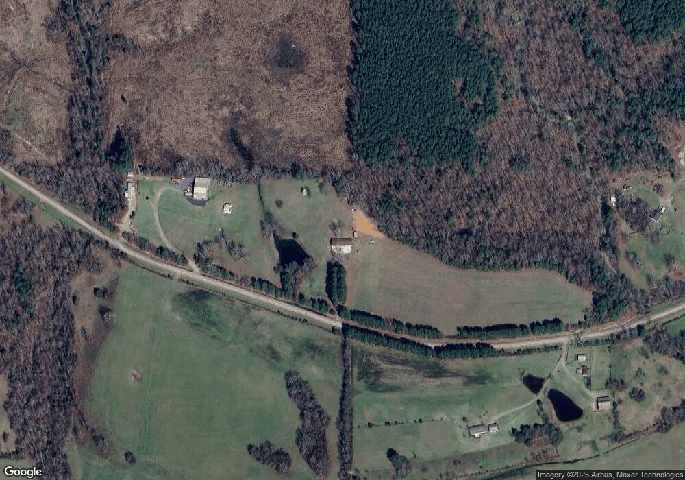
Map
Nearby Homes
- 88 Circle Dr
- 301 Birch St
- 64 Judah Ln
- 360 Ar-27
- 137 N Pine St
- 901 Highway 270 E
- 260 Hall St
- 587 Owley Rd
- 2110 U S 270
- 42 Dusty Trail
- 21 Moon Dance Rd
- 36 Wildlife Ln
- 1593 Arkansas 27
- 1593 Highway 27 N
- 2383 Highway 270 E
- TBD Overcrest Dr
- 15 Big Bear Rd
- 2592 Highway 270 E
- TBD River Front Dr
- TBD Murphy Rd
- 461 Southfork Rd
- 397 Southfork Rd
- 318 Southfork Rd
- 553 Southfork Rd
- 240 Southfork Rd
- 558 Southfork Rd
- 100 Stormy Ln
- 203 Southfork Rd
- 191 Southfork Rd
- 165 Southfork Rd
- 160 Southfork Rd
- 46 Sybrant Ln
- 117 Southfork Rd
- 130 Southfork Rd
- 441 Golden Rd
- 407 Golden Rd
- 383 Golden Rd
- 0 Golden Rd
- 395 Golden Rd
- 58 Southfork Rd