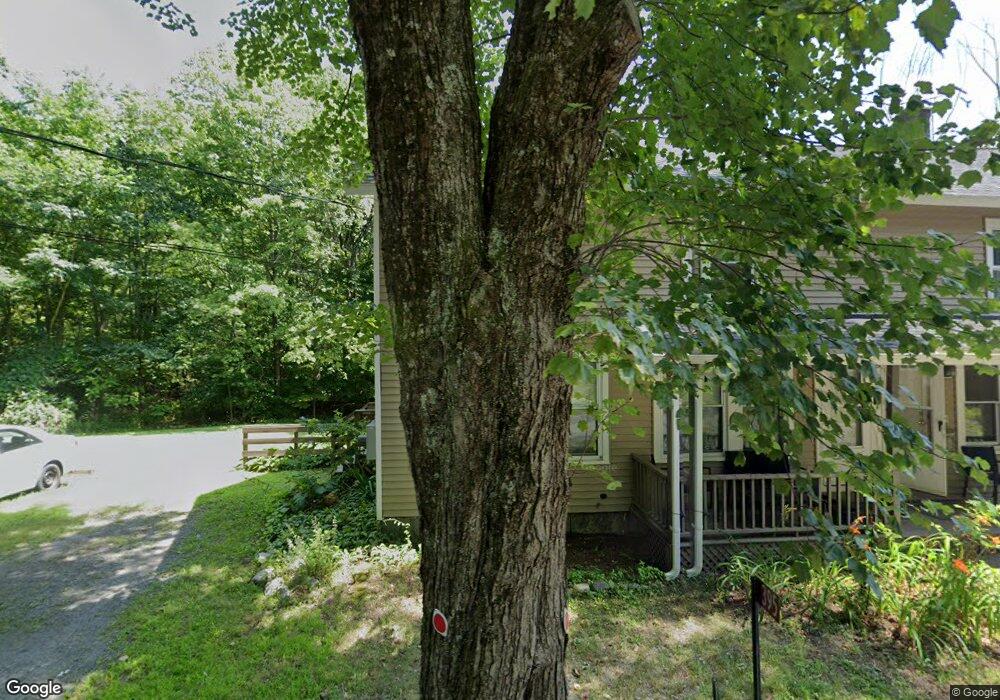
395 State St Amherst, MA 01002
Estimated Value: $443,888 - $652,000
3
Beds
2
Baths
1,920
Sq Ft
$280/Sq Ft
Est. Value
About This Home
This home is located at 395 State St, Amherst, MA 01002 and is currently estimated at $536,972, approximately $279 per square foot. 395 State St is a home located in Hampshire County with nearby schools including Wildwood Elementary School, Amherst Regional Middle School, and Amherst Regional High School.
Ownership History
Date
Name
Owned For
Owner Type
Purchase Details
Closed on
Apr 27, 2019
Sold by
Stein Faith
Bought by
Stein Anne
Current Estimated Value
Purchase Details
Closed on
Jan 29, 2014
Sold by
Stein Richard S and Stein Judith B
Bought by
Stein Anne M and Stein Faith W
Purchase Details
Closed on
Dec 9, 2013
Sold by
Stein Richard S and Stein Judith B
Bought by
Stein Anne M and Stein Faithful E
Purchase Details
Closed on
Jan 29, 2004
Sold by
Stein Judith B and Stein Richard S
Bought by
Stein Anne M and Stein Faithful E
Purchase Details
Closed on
Sep 15, 1972
Bought by
Stein Anne M and Stein Faith Wilson
Create a Home Valuation Report for This Property
The Home Valuation Report is an in-depth analysis detailing your home's value as well as a comparison with similar homes in the area
Home Values in the Area
Average Home Value in this Area
Purchase History
| Date | Buyer | Sale Price | Title Company |
|---|---|---|---|
| Stein Anne | -- | -- | |
| Stein Anne M | -- | -- | |
| Stein Anne M | -- | -- | |
| Stein Anne M | -- | -- | |
| Stein Anne M | -- | -- | |
| Stein Anne M | $12,000 | -- |
Source: Public Records
Tax History Compared to Growth
Tax History
| Year | Tax Paid | Tax Assessment Tax Assessment Total Assessment is a certain percentage of the fair market value that is determined by local assessors to be the total taxable value of land and additions on the property. | Land | Improvement |
|---|---|---|---|---|
| 2025 | $69 | $382,100 | $169,900 | $212,200 |
| 2024 | $6,506 | $351,500 | $160,300 | $191,200 |
| 2023 | $6,249 | $310,900 | $145,700 | $165,200 |
| 2022 | $6,017 | $282,900 | $132,500 | $150,400 |
| 2021 | $5,961 | $273,200 | $122,800 | $150,400 |
| 2020 | $5,825 | $273,200 | $122,800 | $150,400 |
| 2019 | $5,659 | $259,600 | $122,800 | $136,800 |
| 2018 | $5,488 | $259,600 | $122,800 | $136,800 |
| 2017 | $5,348 | $245,000 | $116,900 | $128,100 |
| 2016 | $5,199 | $245,000 | $116,900 | $128,100 |
| 2015 | $5,032 | $245,000 | $116,900 | $128,100 |
Source: Public Records
Map
Nearby Homes
- 0 Henry St
- 112 Leverett Rd
- Lot 3A-3 Leverett Rd
- 958 E Pleasant St
- 110 Grantwood Dr
- Lot A Kingman Rd
- 75 State St
- 13 Harlow Dr
- 17 Juniper Ln
- 66 Harlow Dr
- 185 Cherry Ln
- 410 Old Montague Rd
- 113 Juggler Meadow Rd
- 237 Shutesbury Rd
- Lot A January Hills Rd
- Lot 3, January Hills Rd
- Lot 2, January Hills Rd
- 27 January Hills Rd
- 24 Moorland St
- 12 Moorland St
- 389 State St
- 390 State St
- 385 State St
- 404 State St
- 126 Bridge St
- 418 State St
- 425 State St
- 116 Bridge St
- 131 Bridge St
- 110 Bridge St
- Lot A E Leverett Rd
- 426 State St
- 86 Bridge St Unit 88
- 96 Bridge St
- Lot B E Leverett Rd
- 4-6 E Leverett Rd
- LOT C 4+ac Leverett Rd
- 12 Acres On Leverett Rd
- LOT 9 Leverett Rd
- 7 Leverett Rd