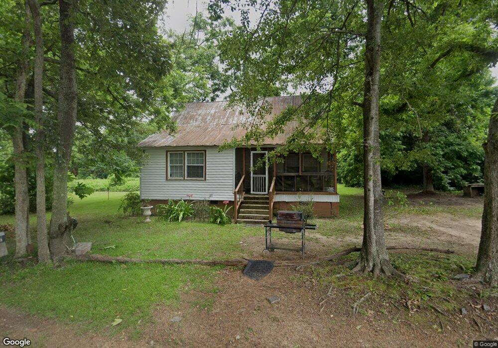
395 Williford St SE Pelham, GA 31779
Estimated Value: $14,000 - $118,000
--
Bed
--
Bath
986
Sq Ft
$70/Sq Ft
Est. Value
About This Home
This home is located at 395 Williford St SE, Pelham, GA 31779 and is currently estimated at $68,970, approximately $69 per square foot. 395 Williford St SE is a home with nearby schools including Pelham Elementary School, Pelham City Middle School, and Pelham High School.
Ownership History
Date
Name
Owned For
Owner Type
Purchase Details
Closed on
Mar 15, 2025
Sold by
Paladin Fund Ii Llc
Bought by
Carter Wandra
Current Estimated Value
Purchase Details
Closed on
Dec 6, 2011
Sold by
Jackson Barbara
Bought by
Paladin Fund I I Llc
Purchase Details
Closed on
Sep 8, 2005
Sold by
Williams Lee H
Bought by
Jackson Barbara
Home Financials for this Owner
Home Financials are based on the most recent Mortgage that was taken out on this home.
Original Mortgage
$25,000
Interest Rate
5.86%
Mortgage Type
New Conventional
Create a Home Valuation Report for This Property
The Home Valuation Report is an in-depth analysis detailing your home's value as well as a comparison with similar homes in the area
Home Values in the Area
Average Home Value in this Area
Purchase History
| Date | Buyer | Sale Price | Title Company |
|---|---|---|---|
| Carter Wandra | $15,000 | -- | |
| Paladin Fund I I Llc | -- | -- | |
| Paladin Fund Ii Llc | -- | -- | |
| Jackson Barbara | $65,000 | -- |
Source: Public Records
Mortgage History
| Date | Status | Borrower | Loan Amount |
|---|---|---|---|
| Previous Owner | Jackson Barbara | $25,000 | |
| Previous Owner | Jackson Barbara | $40,000 |
Source: Public Records
Tax History Compared to Growth
Tax History
| Year | Tax Paid | Tax Assessment Tax Assessment Total Assessment is a certain percentage of the fair market value that is determined by local assessors to be the total taxable value of land and additions on the property. | Land | Improvement |
|---|---|---|---|---|
| 2024 | $556 | $13,964 | $2,160 | $11,804 |
| 2023 | $579 | $13,440 | $2,160 | $11,280 |
| 2022 | $474 | $10,680 | $2,160 | $8,520 |
| 2021 | $394 | $9,720 | $2,160 | $7,560 |
| 2020 | $446 | $10,480 | $2,160 | $8,320 |
| 2019 | $456 | $10,480 | $2,160 | $8,320 |
| 2018 | $467 | $10,320 | $2,000 | $8,320 |
| 2017 | $235 | $11,970 | $2,000 | $9,970 |
| 2016 | $416 | $11,970 | $2,000 | $9,970 |
| 2015 | $416 | $20,377 | $2,000 | $18,377 |
| 2014 | $416 | $20,377 | $2,000 | $18,377 |
| 2013 | $416 | $20,377 | $2,000 | $18,377 |
Source: Public Records
Map
Nearby Homes
- 375 Baggs Ave SE
- 3** Youngs Mill Rd
- 183 Baggs Ave SE
- 135 Baggs Ave SE
- 438 Dogwood Dr NE
- 199 Carroll St NE
- 335 Curry St NE
- 323 Curry St NE
- 547 Cotton Rd NE
- 482 Curry St NE
- 00 Laverne Ln
- 209 McDonald St SW
- 212 Hand Ave W
- 210 Castleberry St NW
- 277 Saunders St SW
- 389 Stewart St SW
- 354 Bennett St NW
- 443 Stewart St SW
- 233 Cannon St NW
- 410 Hollis St SW
- 344 Branch St SE
- 390 Cotton Ave SE
- 409 Williford St SE
- 390 Williford St SE
- 382 Williford St SE
- 400 Cotton Ave SE
- 410 Cotton Ave SE
- 349 Branch St SE
- 339 Branch St SE
- 328 Branch St SE
- 361 Branch St SE
- 368 Williford St SE
- 395 Cotton Ave SE
- 424 Cotton Ave SE
- 383 Cotton Ave SE
- 403 Cotton Ave SE
- 369 Cotton Ave SE
- 327 Branch St SE
- 358 Williford St SE
- 344 Wilkes Ave SE