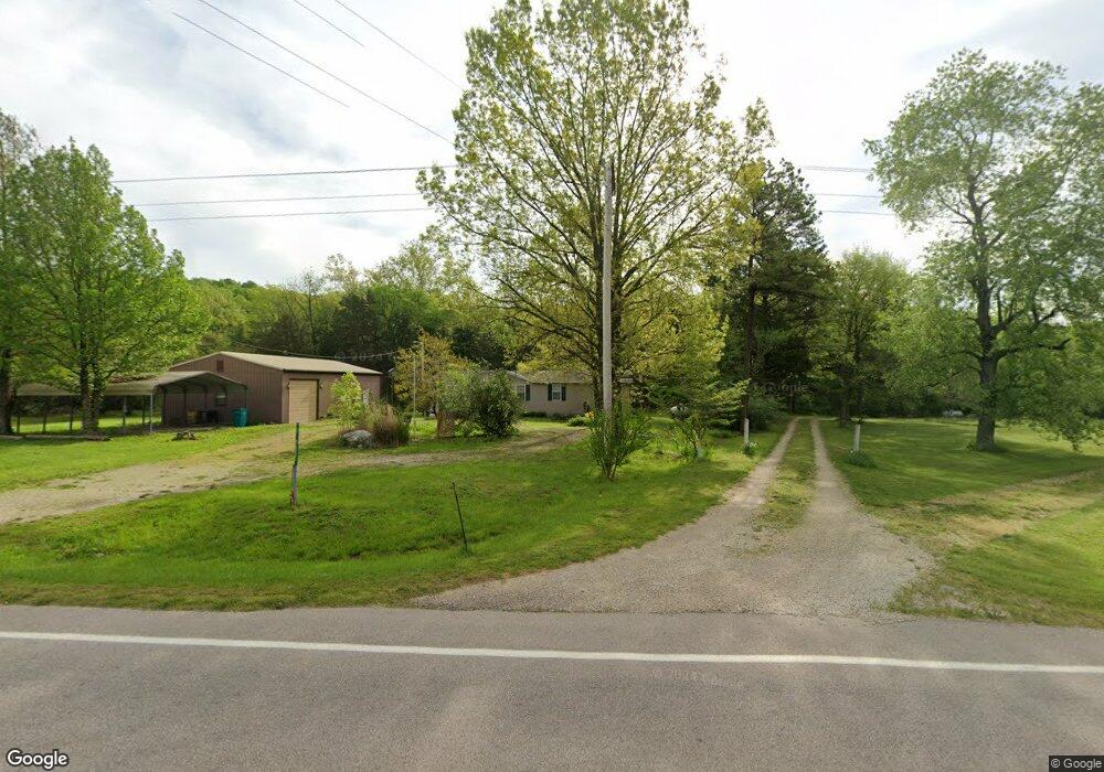
3950 Highway 19 Owensville, MO 65066
Estimated Value: $175,000 - $187,000
3
Beds
2
Baths
1,568
Sq Ft
$117/Sq Ft
Est. Value
About This Home
This home is located at 3950 Highway 19, Owensville, MO 65066 and is currently estimated at $182,698, approximately $116 per square foot. 3950 Highway 19 is a home located in Gasconade County with nearby schools including Owensville High School.
Ownership History
Date
Name
Owned For
Owner Type
Purchase Details
Closed on
Nov 26, 2024
Sold by
Fuerst Joseph Edward
Bought by
Whiteside Len W and Whiteside Toni L
Current Estimated Value
Home Financials for this Owner
Home Financials are based on the most recent Mortgage that was taken out on this home.
Original Mortgage
$157,950
Outstanding Balance
$156,647
Interest Rate
6.54%
Mortgage Type
New Conventional
Estimated Equity
$26,051
Purchase Details
Closed on
Aug 29, 2023
Sold by
Lowe Martha R
Bought by
Lowe Martha R and Fuerst Donald N
Purchase Details
Closed on
Apr 24, 2015
Sold by
Federal Home Loan Mortgage Corporation
Bought by
Lowe Gary N and Lowe Martha R
Create a Home Valuation Report for This Property
The Home Valuation Report is an in-depth analysis detailing your home's value as well as a comparison with similar homes in the area
Home Values in the Area
Average Home Value in this Area
Purchase History
| Date | Buyer | Sale Price | Title Company |
|---|---|---|---|
| Whiteside Len W | $157,950 | None Listed On Document | |
| Lowe Martha R | -- | None Listed On Document | |
| Lowe Gary N | -- | None Available |
Source: Public Records
Mortgage History
| Date | Status | Borrower | Loan Amount |
|---|---|---|---|
| Open | Whiteside Len W | $157,950 |
Source: Public Records
Tax History Compared to Growth
Tax History
| Year | Tax Paid | Tax Assessment Tax Assessment Total Assessment is a certain percentage of the fair market value that is determined by local assessors to be the total taxable value of land and additions on the property. | Land | Improvement |
|---|---|---|---|---|
| 2025 | $709 | $15,680 | $0 | $0 |
| 2024 | $709 | $14,420 | $0 | $0 |
| 2023 | $710 | $14,420 | $0 | $0 |
| 2022 | $727 | $14,790 | $0 | $0 |
| 2021 | $729 | $14,792 | $1,900 | $12,892 |
| 2020 | $684 | $12,980 | $0 | $0 |
| 2019 | $681 | $12,980 | $0 | $0 |
| 2018 | $645 | $12,980 | $0 | $0 |
| 2017 | $644 | $12,950 | $0 | $0 |
| 2016 | $648 | $12,980 | $0 | $0 |
| 2015 | -- | $12,980 | $0 | $0 |
| 2014 | -- | $0 | $0 | $0 |
| 2013 | -- | $0 | $0 | $0 |
Source: Public Records
Map
Nearby Homes
- 1893 Hecker Rd
- 1711 Buntons Holler
- 3802 4th St
- 1862 Price Rd
- 1960 Highway V
- 0 Tappmeyer Rd
- 1798 Debbie Ln
- 407 Ahr Strom Dr
- 805 S Cuba St
- 0 Hwy V Unit MAR24077356
- 0 Hwy V Unit MAR24016261
- 0 Hwy V Unit MAR24016267
- 000 Valley Creek Dr
- 2103 Valley Creek Dr
- 2270 Herbert Rd
- 2101 Valley Creek Dr
- 601 S 1st St
- 0 Valley Creek Dr Unit MIS25045516
- 3744 Highway T
- 0 Krausetown Rd Unit MIS25043298
- 3950 Highway 19
- 3956 Highway 19
- 3956 Highway 19
- 3956 Highway 19
- 3956 Highway 19
- 3956 Highway 19
- 3956 Highway 19
- 3956 Highway 19
- 3944 Highway 19
- 1907 Hecker Rd
- 3952 Highway 19
- 1899 Hecker Rd
- 0 Schaefferkoetter Rd
- 1912 Hecker Rd
- 3906 Highway 19
- 3917 Schaefferkoetter Rd
- 3897 Highway 19
- 0 Schafferkoetter Rd Unit 19019895
- 1910 Hecker Rd
- 1883 Hecker Rd