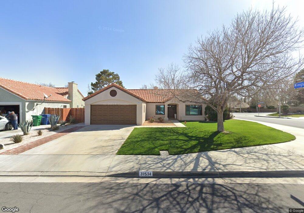
39534 Wales St Palmdale, CA 93551
West Palmdale NeighborhoodEstimated Value: $482,083 - $505,000
3
Beds
2
Baths
1,524
Sq Ft
$324/Sq Ft
Est. Value
About This Home
This home is located at 39534 Wales St, Palmdale, CA 93551 and is currently estimated at $493,771, approximately $323 per square foot. 39534 Wales St is a home located in Los Angeles County with nearby schools including Summerwind Elementary School, David G. Millen Magnet Academy, and Highland High School.
Ownership History
Date
Name
Owned For
Owner Type
Purchase Details
Closed on
May 27, 1999
Sold by
Klein William and Klein Diane Marie
Bought by
Perdomo Leidis M
Current Estimated Value
Home Financials for this Owner
Home Financials are based on the most recent Mortgage that was taken out on this home.
Original Mortgage
$89,900
Outstanding Balance
$28,759
Interest Rate
9.62%
Estimated Equity
$465,012
Create a Home Valuation Report for This Property
The Home Valuation Report is an in-depth analysis detailing your home's value as well as a comparison with similar homes in the area
Home Values in the Area
Average Home Value in this Area
Purchase History
| Date | Buyer | Sale Price | Title Company |
|---|---|---|---|
| Perdomo Leidis M | $113,000 | First American Title Co |
Source: Public Records
Mortgage History
| Date | Status | Borrower | Loan Amount |
|---|---|---|---|
| Open | Perdomo Leidis M | $89,900 |
Source: Public Records
Tax History Compared to Growth
Tax History
| Year | Tax Paid | Tax Assessment Tax Assessment Total Assessment is a certain percentage of the fair market value that is determined by local assessors to be the total taxable value of land and additions on the property. | Land | Improvement |
|---|---|---|---|---|
| 2025 | $3,485 | $177,125 | $35,416 | $141,709 |
| 2024 | $3,485 | $173,653 | $34,722 | $138,931 |
| 2023 | $3,425 | $170,249 | $34,042 | $136,207 |
| 2022 | $3,312 | $166,912 | $33,375 | $133,537 |
| 2021 | $3,216 | $163,640 | $32,721 | $130,919 |
| 2019 | $3,139 | $158,788 | $31,751 | $127,037 |
| 2018 | $3,091 | $155,676 | $31,129 | $124,547 |
| 2016 | $2,879 | $149,632 | $29,921 | $119,711 |
| 2015 | $2,846 | $147,385 | $29,472 | $117,913 |
| 2014 | $2,806 | $144,499 | $28,895 | $115,604 |
Source: Public Records
Map
Nearby Homes
- 1555 Berkshire Dr
- 39566 Dunbar St
- 1225 Stanfill Rd
- 0000 27 Ave
- 1234 Wellington Dr
- 1515 W Avenue o12
- 1792 W Avenue p4
- 39834 16th St W
- 39366 11th St W
- 39524 Hawthorne St
- 39221 Foxholm Dr
- 2038 Falcon Ave
- 38994 Foxholm Dr
- 39240 Gunsmoke Ct
- 38953 Foxholm Dr
- 1796 Vincent Dr
- 38895 Silica Dr
- 40139 15th St W
- 012/21st Vac Cor Ave O12 St Stw
- 38869 Juniper Tree Rd
- 39540 Wales St
- 1521 Kings Rd
- 1506 Kings Rd
- 1415 Kings Rd
- 1520 Kings Rd
- 1522 Windsor Place
- 1418 Windsor Place
- 1527 Kings Rd
- 39443 Southcliff Way
- 1526 Kings Rd
- 1413 Kings Rd
- 1528 Windsor Place
- 1503 Coventry Place
- 1511 Coventry Place
- 1412 Windsor Place
- 39437 Southcliff Way
- 1517 Coventry Place
- 1515 Windsor Place
- 1403 Kings Rd
- 1536 Windsor Place