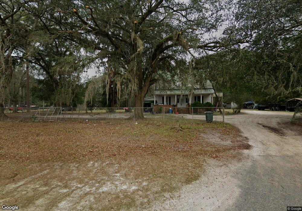
3955 Moultrie Hwy Quitman, GA 31643
Estimated Value: $71,000 - $373,751
--
Bed
2
Baths
2,760
Sq Ft
$66/Sq Ft
Est. Value
About This Home
This home is located at 3955 Moultrie Hwy, Quitman, GA 31643 and is currently estimated at $181,250, approximately $65 per square foot. 3955 Moultrie Hwy is a home located in Brooks County with nearby schools including Quitman Elementary School and First Baptist Church Preschool & Kindergarten.
Ownership History
Date
Name
Owned For
Owner Type
Purchase Details
Closed on
Jun 21, 2004
Sold by
Edmondson Clarence A
Bought by
Edmondson Clarence A
Current Estimated Value
Purchase Details
Closed on
Jun 18, 2004
Sold by
Jordan Joyce E
Bought by
Edmondson Clarence A
Purchase Details
Closed on
Aug 14, 1989
Sold by
Barrs Loyce
Bought by
Jordan Joyce E
Purchase Details
Closed on
Feb 21, 1989
Sold by
Edmondson Clarence A
Bought by
Barrs Loyce
Purchase Details
Closed on
Aug 18, 1987
Sold by
Jordan Willie W and Jordan Joyce
Bought by
Edmondson Clarence A
Purchase Details
Closed on
Apr 11, 1986
Sold by
Edmondson Clarence A
Bought by
Jordan Willie W and Jordan Joyce
Create a Home Valuation Report for This Property
The Home Valuation Report is an in-depth analysis detailing your home's value as well as a comparison with similar homes in the area
Home Values in the Area
Average Home Value in this Area
Purchase History
| Date | Buyer | Sale Price | Title Company |
|---|---|---|---|
| Edmondson Clarence A | -- | -- | |
| Edmondson Clarence A | -- | -- | |
| Jordan Joyce E | -- | -- | |
| Barrs Loyce | -- | -- | |
| Edmondson Clarence A | $39,000 | -- | |
| Jordan Willie W | $65,100 | -- |
Source: Public Records
Tax History Compared to Growth
Tax History
| Year | Tax Paid | Tax Assessment Tax Assessment Total Assessment is a certain percentage of the fair market value that is determined by local assessors to be the total taxable value of land and additions on the property. | Land | Improvement |
|---|---|---|---|---|
| 2024 | $4,160 | $114,220 | $43,920 | $70,300 |
| 2023 | $3,817 | $100,740 | $39,520 | $61,220 |
| 2022 | $3,631 | $85,180 | $37,640 | $47,540 |
| 2021 | $3,299 | $77,780 | $31,160 | $46,620 |
| 2020 | $2,185 | $78,660 | $31,160 | $47,500 |
| 2019 | $3,011 | $69,340 | $26,920 | $42,420 |
| 2018 | $2,084 | $71,340 | $28,920 | $42,420 |
| 2017 | $2,842 | $69,580 | $28,920 | $40,660 |
| 2016 | $3,042 | $70,260 | $28,920 | $41,340 |
| 2015 | -- | $96,148 | $40,440 | $55,708 |
| 2014 | -- | $96,148 | $40,440 | $55,708 |
| 2013 | -- | $0 | $0 | $0 |
Source: Public Records
Map
Nearby Homes
- 237 Turkey Ridge Ln
- 302 Waterside Dr
- 714 Morris Ave
- 1002 N Madison St
- 304 W Rountree St
- 621 N Court St
- 602 N Webster St
- 606 N Court St
- 503 N Culpepper St
- 802 W Lafayette St
- 000 E Gordon St
- 2434 Dunn Rd
- 84 W Us
- 1306 E Screven St
- 309 Eastlake Dr
- 1103 W Railroad St
- 1540 Dunn Rd
- 5616 Empress Rd
- 7747 Empress Rd
- 5199 U S 84