Estimated Value: $405,000 - $434,000
3
Beds
1
Bath
1,086
Sq Ft
$386/Sq Ft
Est. Value
About This Home
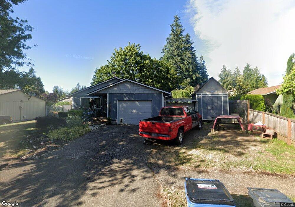
This home is located at 39585 Barker Ct, Sandy, OR 97055 and is currently estimated at $418,900, approximately $385 per square foot. 39585 Barker Ct is a home located in Clackamas County with nearby schools including Sandy Grade School, Cedar Ridge Middle School, and Sandy High School.
Ownership History
Date
Name
Owned For
Owner Type
Purchase Details
Closed on
Oct 28, 2002
Sold by
United States Dept Of Agriculture Rural
Bought by
Savoie Marjorie Gail
Current Estimated Value
Home Financials for this Owner
Home Financials are based on the most recent Mortgage that was taken out on this home.
Original Mortgage
$130,700
Outstanding Balance
$68,770
Interest Rate
5.99%
Mortgage Type
Seller Take Back
Estimated Equity
$350,130
Purchase Details
Closed on
Apr 26, 2001
Sold by
Baughman Vona
Bought by
The Rural Housing Service
Create a Home Valuation Report for This Property
The Home Valuation Report is an in-depth analysis detailing your home's value as well as a comparison with similar homes in the area
Home Values in the Area
Average Home Value in this Area
Purchase History
| Date | Buyer | Sale Price | Title Company |
|---|---|---|---|
| Savoie Marjorie Gail | $114,300 | First American Title Ins Co | |
| The Rural Housing Service | $77,795 | -- |
Source: Public Records
Mortgage History
| Date | Status | Borrower | Loan Amount |
|---|---|---|---|
| Open | Savoie Marjorie Gail | $130,700 |
Source: Public Records
Tax History
| Year | Tax Paid | Tax Assessment Tax Assessment Total Assessment is a certain percentage of the fair market value that is determined by local assessors to be the total taxable value of land and additions on the property. | Land | Improvement |
|---|---|---|---|---|
| 2025 | $3,045 | $177,484 | -- | -- |
| 2024 | $2,917 | $172,315 | -- | -- |
| 2023 | $2,917 | $167,297 | -- | -- |
| 2022 | $2,763 | $162,425 | $0 | $0 |
| 2021 | $2,668 | $157,695 | $0 | $0 |
| 2020 | $2,596 | $153,102 | $0 | $0 |
| 2019 | $2,571 | $148,643 | $0 | $0 |
| 2018 | $2,499 | $144,314 | $0 | $0 |
| 2017 | $2,438 | $140,111 | $0 | $0 |
| 2016 | $2,355 | $136,030 | $0 | $0 |
| 2015 | $2,288 | $132,068 | $0 | $0 |
| 2014 | $2,228 | $128,221 | $0 | $0 |
Source: Public Records
Map
Nearby Homes
- 39784 Syblon Ln
- 18712 Cloud Cap Ave
- 18050 SE Langensand Rd
- 39576 Trillium St
- 18462 SE Langensand Rd
- 0 Oregon 211
- 38915 Sandy Heights St
- 40192 Laurel St
- 19124 SE Jacoby Rd
- 39329 Woodbury Way
- 39307 Woodbury Way
- 39302 Stratford Place
- 18052 Seaman St
- 0 SE Jacoby Rd Unit 800
- 38510 Bickford St
- 38802 Cascadia Village Dr
- 17925 Beebee Ct
- 38565 Pleasant St
- 38573 Cascadia Village Dr
- 38376 Hood St
Your Personal Tour Guide
Ask me questions while you tour the home.