Estimated Value: $267,560 - $284,000
2
Beds
1
Bath
2,711
Sq Ft
$101/Sq Ft
Est. Value
About This Home
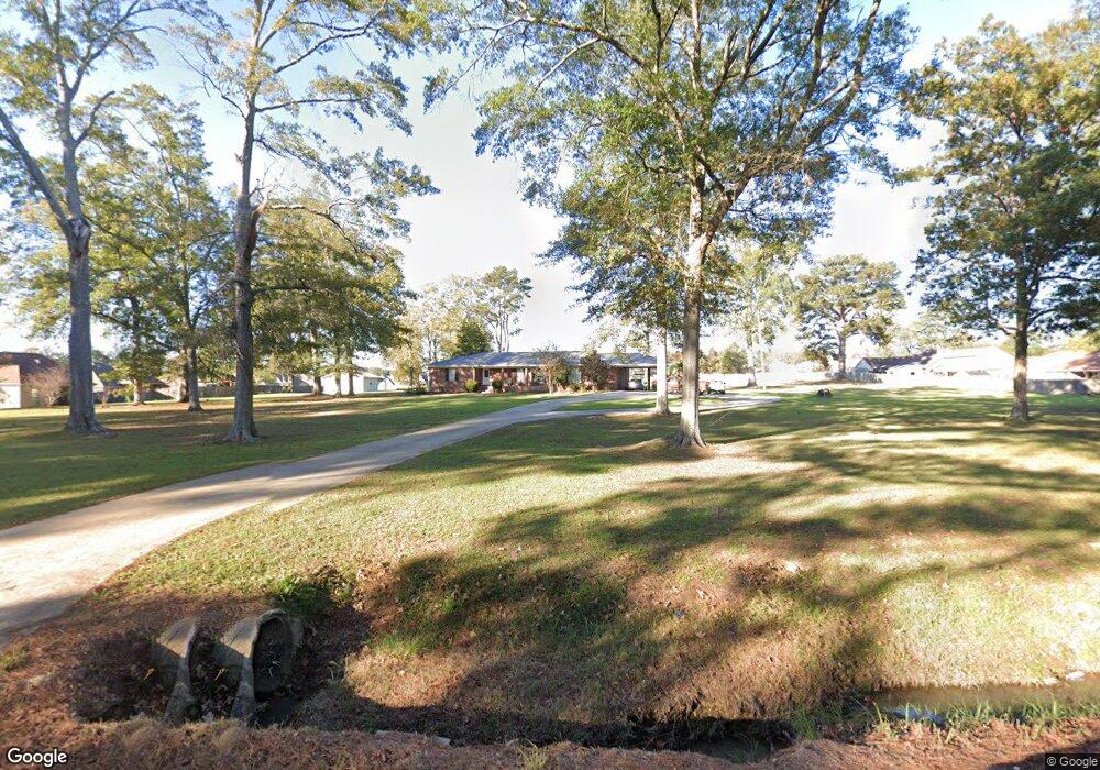
This home is located at 3959 Highway 468 W, Pearl, MS 39208 and is currently estimated at $274,140, approximately $101 per square foot. 3959 Highway 468 W is a home with nearby schools including Rouse Elementary School, Brandon Elementary School, and Stonebridge Elementary School.
Ownership History
Date
Name
Owned For
Owner Type
Purchase Details
Closed on
Mar 26, 2020
Sold by
Double L Properties Inc
Bought by
Double L Properties Inc and James B Bailey Porps Llc
Current Estimated Value
Purchase Details
Closed on
Apr 7, 2015
Sold by
L And L Contractors Of Mississippi Llc
Bought by
Dbl Llc
Purchase Details
Closed on
Apr 9, 2014
Bought by
Double L Properties Inc
Purchase Details
Closed on
Nov 5, 2010
Sold by
Joseph
Bought by
Gipson
Create a Home Valuation Report for This Property
The Home Valuation Report is an in-depth analysis detailing your home's value as well as a comparison with similar homes in the area
Home Values in the Area
Average Home Value in this Area
Purchase History
| Date | Buyer | Sale Price | Title Company |
|---|---|---|---|
| Double L Properties Inc | -- | None Available | |
| Dbl Llc | -- | None Available | |
| Double L Properties Inc | -- | -- | |
| Gipson | -- | -- |
Source: Public Records
Tax History Compared to Growth
Tax History
| Year | Tax Paid | Tax Assessment Tax Assessment Total Assessment is a certain percentage of the fair market value that is determined by local assessors to be the total taxable value of land and additions on the property. | Land | Improvement |
|---|---|---|---|---|
| 2024 | $2,550 | $25,836 | $0 | $0 |
| 2023 | $2,079 | $21,059 | $0 | $0 |
| 2022 | $2,047 | $21,059 | $0 | $0 |
| 2021 | $2,010 | $20,684 | $0 | $0 |
| 2020 | $2,010 | $20,684 | $0 | $0 |
| 2019 | $1,833 | $18,338 | $0 | $0 |
| 2018 | $1,797 | $18,338 | $0 | $0 |
| 2017 | $1,797 | $18,338 | $0 | $0 |
| 2016 | $1,732 | $18,627 | $0 | $0 |
| 2015 | $1,732 | $18,627 | $0 | $0 |
| 2014 | $1,659 | $18,267 | $0 | $0 |
| 2013 | $1,659 | $18,267 | $0 | $0 |
Source: Public Records
Map
Nearby Homes
- 00 Whitfield Rd
- 103 Cedar Ridge Blvd
- 506 Cedar Hill Dr
- 504 Cedar Hill Dr
- 406 Cedar Hill Dr
- 505 Cedar Hill Dr
- 503 Cedar Hill Dr
- 127 Cedar Ridge Blvd
- ALDRIDGE Plan at Cedar Lane
- FREEPORT Plan at Cedar Lane
- 313 Cedar Crest Dr
- 315 Cedar Crest Dr
- 508 Ridgecrest Dr
- 325 Cedar Crest Dr
- 317 Willow Run
- 1063 Spanish Oak Dr
- 407 Cedar Trace
- 406 Cedar Way
- 220 White Oak Place
- 1076 Spanish Oak Dr
- 106 Woodridge
- 106 Woodridge
- 106 Woodridge Dr
- 104 Woodridge
- 104 Woodridge
- 108 Wood Ridge
- 102 Woodridge Dr
- 105 Live Oaks Blvd
- 110 Wood Ridge
- 103 Live Oaks Blvd
- 107 Live Oaks Blvd
- 107 Live Oaks Blvd Unit (Lot86)
- 101 Live Oaks Blvd
- 101 Live Oaks Blvd Unit (Lot 89)
- 102 Woodridge
- 112 Woodridge
- 102 Woodridge
- 109 Live Oaks Blvd
- 112 Woodridge
- 112 Wood Ridge