3959 Pfile Dr Rootstown, OH 44272
Estimated Value: $282,000 - $341,000
3
Beds
2
Baths
2,084
Sq Ft
$146/Sq Ft
Est. Value
About This Home
This home is located at 3959 Pfile Dr, Rootstown, OH 44272 and is currently estimated at $304,171, approximately $145 per square foot. 3959 Pfile Dr is a home located in Portage County with nearby schools including Rootstown Middle School - Schnee Building and Rootstown High School.
Ownership History
Date
Name
Owned For
Owner Type
Purchase Details
Closed on
Aug 24, 2001
Sold by
Wymer Floyd M and Wymer Elaine B
Bought by
Montgomery Frank A and Montgomery Tammy S
Current Estimated Value
Home Financials for this Owner
Home Financials are based on the most recent Mortgage that was taken out on this home.
Original Mortgage
$138,902
Outstanding Balance
$51,562
Interest Rate
7.28%
Mortgage Type
FHA
Estimated Equity
$252,609
Purchase Details
Closed on
Dec 1, 1992
Bought by
Wymer Floyd M and Wymer Elaine
Create a Home Valuation Report for This Property
The Home Valuation Report is an in-depth analysis detailing your home's value as well as a comparison with similar homes in the area
Purchase History
| Date | Buyer | Sale Price | Title Company |
|---|---|---|---|
| Montgomery Frank A | $140,000 | Approved Statewide Title Age | |
| Wymer Floyd M | -- | -- |
Source: Public Records
Mortgage History
| Date | Status | Borrower | Loan Amount |
|---|---|---|---|
| Open | Montgomery Frank A | $138,902 |
Source: Public Records
Tax History
| Year | Tax Paid | Tax Assessment Tax Assessment Total Assessment is a certain percentage of the fair market value that is determined by local assessors to be the total taxable value of land and additions on the property. | Land | Improvement |
|---|---|---|---|---|
| 2025 | $3,137 | $75,320 | $9,310 | $66,010 |
| 2024 | $3,015 | $75,320 | $9,310 | $66,010 |
| 2023 | $2,520 | $56,080 | $8,160 | $47,920 |
| 2022 | $2,492 | $56,080 | $8,160 | $47,920 |
| 2021 | $2,493 | $56,080 | $8,160 | $47,920 |
| 2020 | $2,234 | $48,370 | $7,770 | $40,600 |
| 2019 | $2,507 | $48,370 | $7,770 | $40,600 |
| 2018 | $2,359 | $44,700 | $11,100 | $33,600 |
| 2017 | $2,359 | $44,700 | $11,100 | $33,600 |
| 2016 | $2,141 | $44,700 | $11,100 | $33,600 |
| 2015 | $2,165 | $44,700 | $11,100 | $33,600 |
| 2014 | $2,316 | $44,700 | $11,100 | $33,600 |
| 2013 | $2,190 | $44,700 | $11,100 | $33,600 |
Source: Public Records
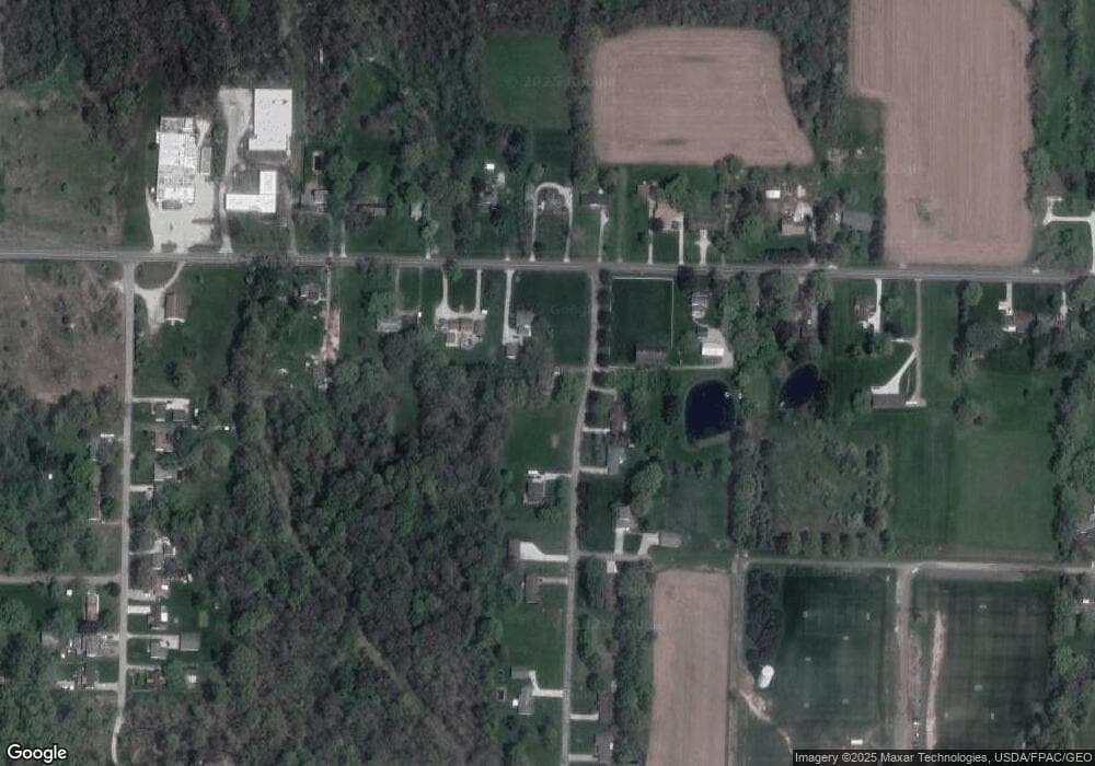
Map
Nearby Homes
- 4079 Siefer Dr
- 4200 Hattrick Rd
- 3689 Cherry Hill
- 3701 State Route 44
- 0 Lynn Rd Unit 5110102
- 4415 Farmette Dr
- V/L 2 Lynn Rd
- V/L Lynn Rd
- sub lot Lane Ave
- 3637 Old Forge Rd
- 4556 Rootstown Rd
- 3021 Hartville Rd
- 4058 Bayberry Knoll Ln
- 4140 Sandy Lake Rd
- 4087 Industry
- 5394 Juniper Ct
- 3925 Summit Rd
- 4958 Bassett Rd
- 524 Ohio Ave
- 1065 Shadowlawn Dr
- 4560 Tallmadge Rd
- 3984 Pfile Dr
- 3970 Pfile Dr
- 4540 Tallmadge Rd
- 3961 Pfile Dr
- 4578 Tallmadge Rd
- 4561 Tallmadge Rd
- 3950 Pfile Dr
- 4569 Tallmadge Rd
- 4573 Tallmadge Rd
- 4545 Tallmadge Rd
- 4522 Tallmadge Rd
- 4579 Tallmadge Rd
- 4620 Tallmadge Rd
- 4527 Tallmadge Rd
- 3934 Pfile Dr
- 3933 Pfile Dr
- 4628 Tallmadge Rd
- 4511 Tallmadge Rd
- 4599 Tallmadge Rd
Your Personal Tour Guide
Ask me questions while you tour the home.