Estimated Value: $285,244 - $348,000
3
Beds
2
Baths
1,263
Sq Ft
$257/Sq Ft
Est. Value
About This Home
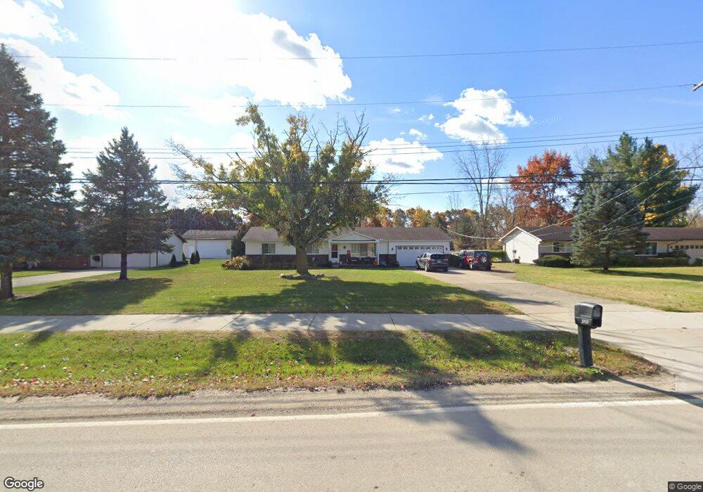
This home is located at 3959 W Maple Rd, Wixom, MI 48393 and is currently estimated at $325,061, approximately $257 per square foot. 3959 W Maple Rd is a home located in Oakland County with nearby schools including Wixom Elementary School, Sarah G. Banks Middle School, and Walled Lake Western High School.
Ownership History
Date
Name
Owned For
Owner Type
Purchase Details
Closed on
May 14, 2015
Sold by
West Robert M
Bought by
Rosele Robert Scott
Current Estimated Value
Home Financials for this Owner
Home Financials are based on the most recent Mortgage that was taken out on this home.
Original Mortgage
$139,428
Interest Rate
4.01%
Mortgage Type
FHA
Purchase Details
Closed on
Jun 16, 2006
Sold by
West Tina Mae
Bought by
West Robert Macfadden
Purchase Details
Closed on
Jul 30, 2002
Sold by
Lovrenich Thomas Jack and Lovrenich Ruth Mildred
Bought by
West Robert M
Create a Home Valuation Report for This Property
The Home Valuation Report is an in-depth analysis detailing your home's value as well as a comparison with similar homes in the area
Home Values in the Area
Average Home Value in this Area
Purchase History
| Date | Buyer | Sale Price | Title Company |
|---|---|---|---|
| Rosele Robert Scott | $142,000 | Sterling Title Partners Inc | |
| West Robert Macfadden | -- | None Available | |
| West Robert M | $161,000 | Golden Title |
Source: Public Records
Mortgage History
| Date | Status | Borrower | Loan Amount |
|---|---|---|---|
| Previous Owner | Rosele Robert Scott | $139,428 |
Source: Public Records
Tax History
| Year | Tax Paid | Tax Assessment Tax Assessment Total Assessment is a certain percentage of the fair market value that is determined by local assessors to be the total taxable value of land and additions on the property. | Land | Improvement |
|---|---|---|---|---|
| 2025 | $3,873 | $124,690 | $0 | $0 |
| 2024 | $3,698 | $119,550 | $0 | $0 |
| 2023 | $3,600 | $98,910 | $0 | $0 |
| 2022 | $3,598 | $95,490 | $0 | $0 |
| 2021 | $3,646 | $88,240 | $0 | $0 |
| 2020 | $3,456 | $82,030 | $0 | $0 |
| 2019 | $3,766 | $81,310 | $0 | $0 |
| 2018 | $3,528 | $76,780 | $0 | $0 |
| 2017 | $3,539 | $71,230 | $0 | $0 |
| 2016 | $3,330 | $66,800 | $0 | $0 |
| 2015 | -- | $57,840 | $0 | $0 |
| 2014 | -- | $55,840 | $0 | $0 |
| 2011 | -- | $58,650 | $0 | $0 |
Source: Public Records
Map
Nearby Homes
- 3584 W Maple Rd
- 570 Maplewood
- 3202 Roma Ct
- 234 N Wixom Rd Unit 53
- 3201 Roma Ct
- 216 N Wixom Rd
- 3238 Johanna Ware W
- 3270 Johanna Ware W Unit 1
- 3217 Chambers W Unit 87
- 3127 Chambers W
- 478 N Wixom Rd
- 260 Center Blvd
- 3108 Theodore
- 4015 Audrey Ct
- 2222 S Sheeran Dr
- 2155 N Sheeran Dr
- 144 Center Blvd
- 1432 Pond View Ct
- 3010 Theodore
- 2406 Madison St
- 3969 W Maple Rd
- 3949 W Maple Rd
- LOT 1 Nissen Ct
- 3979 W Maple Rd
- 719 Nissen Ct Unit 1
- 719 Nissen Ct
- 719 Nissen Ct #1
- 716 Nissen Ct
- 3937 W Maple Rd
- 3993 W Maple Rd
- 3942 W Maple Rd
- 3945 W Maple Rd
- 3976 W Maple Rd
- 3936 W Maple Rd
- 728 Nissen Ct
- 731 Nissen Ct
- 4001 W Maple Rd
- 3929 W Maple Rd
- 3980 W Maple Rd
- 3930 W Maple Rd
Your Personal Tour Guide
Ask me questions while you tour the home.