396 Carl Bethlehem Rd SW Bethlehem, GA 30620
--
Bed
--
Bath
8,680
Sq Ft
9.8
Acres
About This Home
This home is located at 396 Carl Bethlehem Rd SW, Bethlehem, GA 30620. 396 Carl Bethlehem Rd SW is a home located in Barrow County with nearby schools including Bethlehem Elementary School, Haymon-Morris Middle School, and Apalachee High School.
Ownership History
Date
Name
Owned For
Owner Type
Purchase Details
Closed on
Dec 29, 2021
Sold by
Deloach W Michael
Bought by
Deloach William Michael
Home Financials for this Owner
Home Financials are based on the most recent Mortgage that was taken out on this home.
Original Mortgage
$1,062,500
Outstanding Balance
$514,286
Interest Rate
3.05%
Mortgage Type
Commercial
Create a Home Valuation Report for This Property
The Home Valuation Report is an in-depth analysis detailing your home's value as well as a comparison with similar homes in the area
Home Values in the Area
Average Home Value in this Area
Purchase History
| Date | Buyer | Sale Price | Title Company |
|---|---|---|---|
| Deloach William Michael | $1,250,000 | -- | |
| Deloach William Michael | -- | -- |
Source: Public Records
Mortgage History
| Date | Status | Borrower | Loan Amount |
|---|---|---|---|
| Open | Deloach William Michael | $1,062,500 |
Source: Public Records
Tax History Compared to Growth
Tax History
| Year | Tax Paid | Tax Assessment Tax Assessment Total Assessment is a certain percentage of the fair market value that is determined by local assessors to be the total taxable value of land and additions on the property. | Land | Improvement |
|---|---|---|---|---|
| 2024 | $10,561 | $424,660 | $94,080 | $330,580 |
| 2023 | $10,652 | $424,660 | $94,080 | $330,580 |
| 2022 | $12,384 | $427,103 | $94,080 | $333,023 |
| 2021 | $9,312 | $303,210 | $83,936 | $219,274 |
| 2020 | $9,338 | $303,210 | $83,936 | $219,274 |
| 2019 | $9,504 | $303,210 | $83,936 | $219,274 |
| 2018 | $9,367 | $303,416 | $83,936 | $219,480 |
| 2017 | $8,309 | $285,374 | $83,936 | $201,438 |
| 2016 | $7,928 | $258,222 | $83,936 | $174,286 |
| 2015 | $8,020 | $259,994 | $83,936 | $176,058 |
| 2014 | $7,191 | $224,834 | $47,004 | $177,830 |
| 2013 | -- | $215,231 | $41,128 | $174,102 |
Source: Public Records
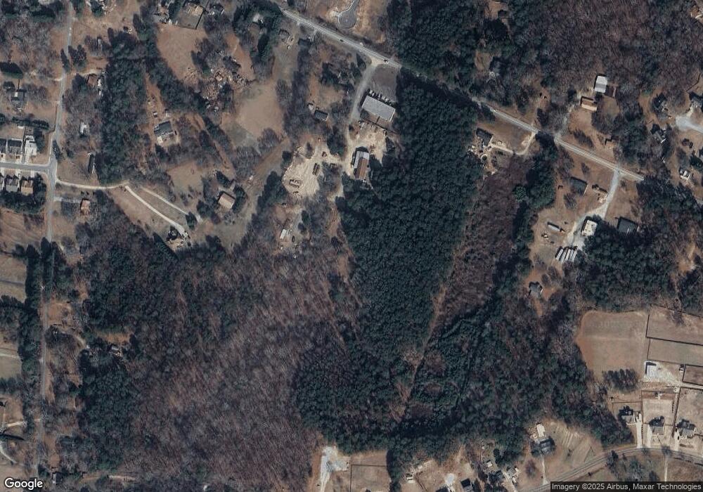
Map
Nearby Homes
- 758 Clarence Edwards Rd
- 575 Mackinaw Dr
- 14 Smithwood Dr
- 236 Vision St
- 176 Market St
- 190 Lokeys Ln
- 755 Harry McCarty Rd
- 303 Ron Dr
- 220 Carl Bethlehem Rd SW
- 0 Jb Owens Unit 7552902
- 0 Jb Owens Unit 7552891
- 0 Jb Owens Unit LOT 2 - 2.09 ACRES
- 0 Jb Owens Unit LOT 3 - 2.01 ACRES
- 209 Angie Way
- 350 Punkin Junction Rd
- 1111 Otis Dr
- 100 Rivington Dr
- 102 Rivington Dr
- 104 Rivington Dr
- 29 Kielder Dr
- 390 Carl-Bethlehem Rd
- 404 Carl Bethlehem Rd SW
- 273 Kensington Trace Unit 20
- 369 Kensington Trace Unit 27
- 112 Kensington Trace Unit 46
- 300 Kensington Trace Unit 35
- 45 Kensington Trace Unit 3
- 2523 Wescott Way
- 3471 Emmet Rd
- 2483 Wescott Way
- 2512 Wescott Way
- 2492 Wescott Way
- 2532 Wescott Way
- 2450 Ames St
- 3441 Emmet Rd
- 3421 Emmet Rd
- 3461 Emmet Rd
- 2503 Wescott Way
- 300 Kensington Trace
- 369 Kensington Trace