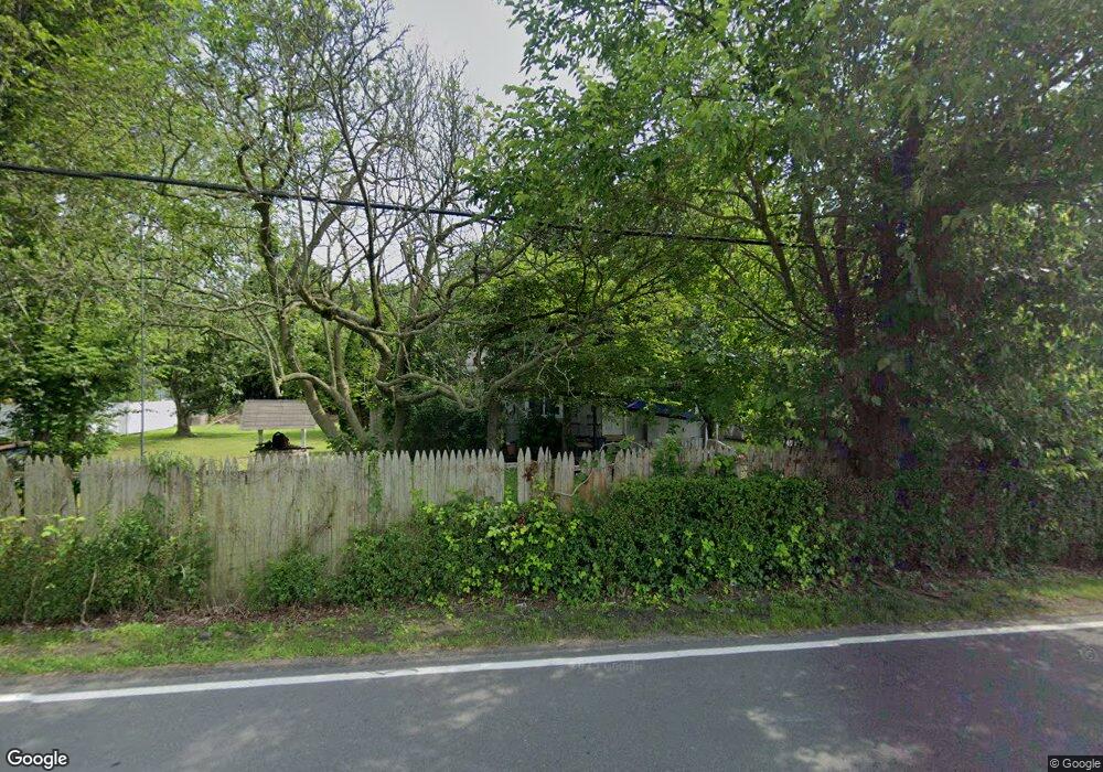
396 Monmouth St East Windsor, NJ 08520
Estimated Value: $314,000 - $408,000
3
Beds
1
Bath
1,233
Sq Ft
$291/Sq Ft
Est. Value
About This Home
This home is located at 396 Monmouth St, East Windsor, NJ 08520 and is currently estimated at $358,754, approximately $290 per square foot. 396 Monmouth St is a home located in Mercer County with nearby schools including Melvin H. Kreps Middle School, Hightstown High School, and SciCore Academy.
Ownership History
Date
Name
Owned For
Owner Type
Purchase Details
Closed on
Oct 2, 2018
Sold by
Wood Robert L and Wood Melissa A
Bought by
Talhow Realty Llc
Current Estimated Value
Purchase Details
Closed on
Jul 30, 2007
Sold by
Wood Robert
Bought by
Wood Robert
Purchase Details
Closed on
Apr 22, 1994
Sold by
Henzler Ruth
Bought by
Wood Robert and Gagliardi Barbara
Home Financials for this Owner
Home Financials are based on the most recent Mortgage that was taken out on this home.
Original Mortgage
$90,000
Interest Rate
7.7%
Create a Home Valuation Report for This Property
The Home Valuation Report is an in-depth analysis detailing your home's value as well as a comparison with similar homes in the area
Home Values in the Area
Average Home Value in this Area
Purchase History
| Date | Buyer | Sale Price | Title Company |
|---|---|---|---|
| Talhow Realty Llc | $92,000 | None Available | |
| Wood Robert | -- | -- | |
| Wood Robert | $91,000 | -- |
Source: Public Records
Mortgage History
| Date | Status | Borrower | Loan Amount |
|---|---|---|---|
| Previous Owner | Wood Robert | $90,000 |
Source: Public Records
Tax History Compared to Growth
Tax History
| Year | Tax Paid | Tax Assessment Tax Assessment Total Assessment is a certain percentage of the fair market value that is determined by local assessors to be the total taxable value of land and additions on the property. | Land | Improvement |
|---|---|---|---|---|
| 2025 | $7,213 | $193,900 | $96,600 | $97,300 |
| 2024 | $6,829 | $193,900 | $96,600 | $97,300 |
| 2023 | $6,829 | $193,900 | $96,600 | $97,300 |
| 2022 | $6,653 | $193,900 | $96,600 | $97,300 |
| 2021 | $6,604 | $193,900 | $96,600 | $97,300 |
| 2020 | $6,612 | $193,900 | $96,600 | $97,300 |
| 2019 | $6,552 | $193,900 | $96,600 | $97,300 |
| 2018 | $6,467 | $193,900 | $96,600 | $97,300 |
| 2017 | $6,461 | $193,900 | $96,600 | $97,300 |
| 2016 | $6,370 | $193,900 | $96,600 | $97,300 |
| 2015 | $6,246 | $193,900 | $96,600 | $97,300 |
| 2014 | $6,172 | $193,900 | $96,600 | $97,300 |
Source: Public Records
Map
Nearby Homes
- 453 Route 33 E
- 336 Monmouth St
- 43 Norton Ave
- 219 Maxwell Ave
- 344 Monmouth St
- 23 Barton Dr
- 13 Avon Dr Unit P
- 4 Brakeman Ct
- C9 Avon Dr E
- 164 Mill Run E Unit 141
- 158 Mill Run E
- 203 Canterbury Ct
- D16 Avon Dr
- 406 Bolton Rd
- 126 Mill Run E
- 126 Mill Run E Unit 84
- 124 Mill Run E Unit 85
- 128 Monmouth St
- 127 Probasco Rd
- 1N Lake Dr
- 400 Monmouth St
- 21 Woodside Ave
- 388 Monmouth St
- 403 Monmouth St
- 406 Monmouth St
- 408 Monmouth St
- 433 New Jersey 33
- 460 New Jersey 33
- 460 Route 33 E
- 460 Franklin St
- 29 Woodside Ave
- 28 Woodside Ave
- 419 Monmouth St
- 33 Woodside Ave
- 32 Woodside Ave
- 9 Richardson Ln
- 13 Richardson Ln
- 36 Woodside Ave
- 41 Woodside Ave
- 17 Richardson Ln