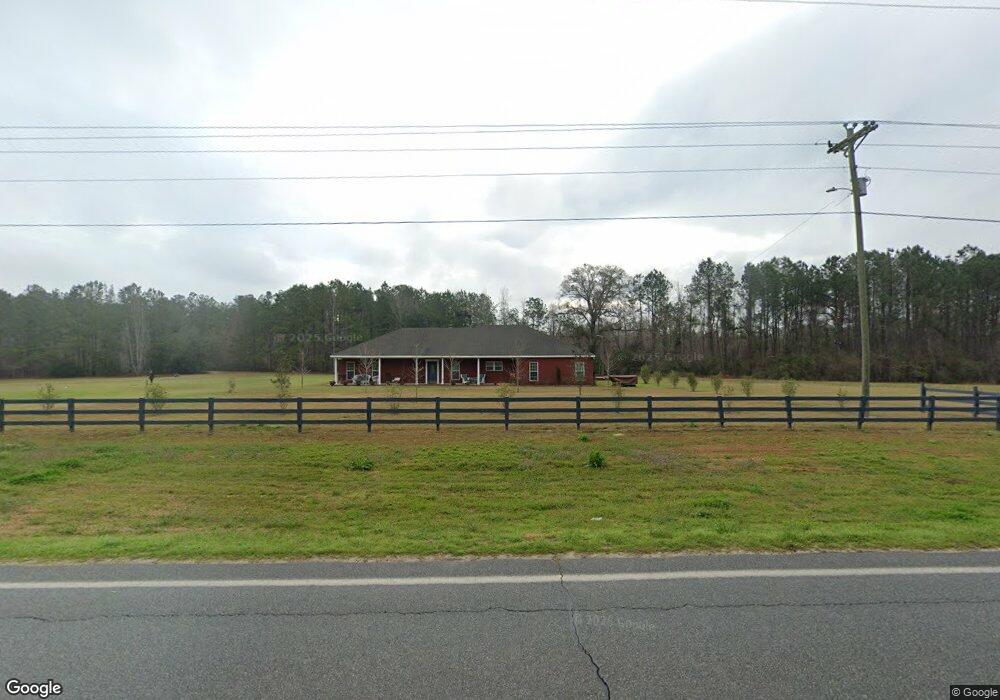
3960 Moultrie Hwy Quitman, GA 31643
Estimated Value: $343,695 - $452,000
3
Beds
4
Baths
2,780
Sq Ft
$137/Sq Ft
Est. Value
About This Home
This home is located at 3960 Moultrie Hwy, Quitman, GA 31643 and is currently estimated at $379,674, approximately $136 per square foot. 3960 Moultrie Hwy is a home located in Brooks County with nearby schools including Quitman Elementary School and First Baptist Church Preschool & Kindergarten.
Ownership History
Date
Name
Owned For
Owner Type
Purchase Details
Closed on
Mar 11, 2024
Sold by
Janney Dianne B
Bought by
Tonne Bradly and Tonne Genny
Current Estimated Value
Home Financials for this Owner
Home Financials are based on the most recent Mortgage that was taken out on this home.
Original Mortgage
$311,355
Outstanding Balance
$306,311
Interest Rate
6.77%
Mortgage Type
New Conventional
Estimated Equity
$73,363
Purchase Details
Closed on
Apr 30, 2021
Sold by
Mcculler James
Bought by
Janney Carl G and Janney Dianne B
Purchase Details
Closed on
May 25, 2017
Sold by
Mcculler Max
Bought by
Mcculler James and Mcculler Deloria
Purchase Details
Closed on
Mar 27, 2017
Bought by
Mcculler Dee and Mcculler Max
Purchase Details
Closed on
Jun 7, 2016
Sold by
Pearce Donald R
Bought by
Bank Of New York Mellon Trust
Purchase Details
Closed on
Jan 28, 2008
Sold by
Edmondson Clarence A
Bought by
Pearce Donald R and Pearce Tonya A
Create a Home Valuation Report for This Property
The Home Valuation Report is an in-depth analysis detailing your home's value as well as a comparison with similar homes in the area
Home Values in the Area
Average Home Value in this Area
Purchase History
| Date | Buyer | Sale Price | Title Company |
|---|---|---|---|
| Tonne Bradly | $340,000 | -- | |
| Janney Carl G | $250,000 | -- | |
| Mcculler James | -- | -- | |
| Mcculler Dee | $110,000 | -- | |
| Bank Of New York Mellon Trust | $161,500 | -- | |
| Pearce Donald R | -- | -- |
Source: Public Records
Mortgage History
| Date | Status | Borrower | Loan Amount |
|---|---|---|---|
| Open | Tonne Bradly | $311,355 |
Source: Public Records
Tax History Compared to Growth
Tax History
| Year | Tax Paid | Tax Assessment Tax Assessment Total Assessment is a certain percentage of the fair market value that is determined by local assessors to be the total taxable value of land and additions on the property. | Land | Improvement |
|---|---|---|---|---|
| 2024 | $3,381 | $117,560 | $5,800 | $111,760 |
| 2023 | $3,230 | $111,640 | $5,040 | $106,600 |
| 2022 | $2,728 | $83,800 | $4,800 | $79,000 |
| 2021 | $1,809 | $60,560 | $4,960 | $55,600 |
| 2020 | $1,682 | $60,560 | $4,960 | $55,600 |
| 2019 | $1,741 | $69,960 | $4,800 | $65,160 |
| 2018 | $2,086 | $71,440 | $4,800 | $66,640 |
| 2017 | $2,333 | $72,000 | $4,800 | $67,200 |
| 2016 | $2,379 | $72,760 | $4,800 | $67,960 |
| 2015 | -- | $73,560 | $4,800 | $68,760 |
| 2014 | -- | $75,000 | $4,800 | $70,200 |
| 2013 | -- | $75,000 | $4,800 | $70,200 |
Source: Public Records
Map
Nearby Homes
- 237 Turkey Ridge Ln
- 302 Waterside Dr
- 714 Morris Ave
- 1002 N Madison St
- 304 W Rountree St
- 621 N Court St
- 602 N Webster St
- 606 N Court St
- 503 N Culpepper St
- 802 W Lafayette St
- 000 E Gordon St
- 84 W Us
- 2434 Dunn Rd
- 1306 E Screven St
- 309 Eastlake Dr
- 1103 W Railroad St
- 5616 Empress Rd
- 1540 Dunn Rd
- 7747 Empress Rd
- 5199 U S 84