3960 Rosalind Dr Rootstown, OH 44272
Estimated Value: $177,000 - $207,000
3
Beds
1
Bath
1,228
Sq Ft
$154/Sq Ft
Est. Value
About This Home
This home is located at 3960 Rosalind Dr, Rootstown, OH 44272 and is currently estimated at $189,667, approximately $154 per square foot. 3960 Rosalind Dr is a home located in Portage County with nearby schools including Rootstown Middle School - Schnee Building and Rootstown High School.
Ownership History
Date
Name
Owned For
Owner Type
Purchase Details
Closed on
Jun 23, 2022
Sold by
Brandon Stowe
Bought by
Stowe Brandon and Mullins Annalise
Current Estimated Value
Home Financials for this Owner
Home Financials are based on the most recent Mortgage that was taken out on this home.
Original Mortgage
$139,428
Interest Rate
4%
Mortgage Type
New Conventional
Purchase Details
Closed on
Apr 29, 2022
Sold by
Rosenberger Family Trust and Laskos Susan K
Bought by
Stowe Brandon
Home Financials for this Owner
Home Financials are based on the most recent Mortgage that was taken out on this home.
Original Mortgage
$139,428
Interest Rate
4%
Mortgage Type
New Conventional
Purchase Details
Closed on
Oct 21, 2002
Sold by
Rosenberger Joseph D and Rosenberger Wanda L
Bought by
Rosenberger Joseph and Rosenberger Wanda
Purchase Details
Closed on
Jan 1, 1990
Bought by
Rosenberger Joseph D
Create a Home Valuation Report for This Property
The Home Valuation Report is an in-depth analysis detailing your home's value as well as a comparison with similar homes in the area
Purchase History
| Date | Buyer | Sale Price | Title Company |
|---|---|---|---|
| Stowe Brandon | -- | Winson Jeffrey D | |
| Stowe Brandon | -- | None Listed On Document | |
| Rosenberger Joseph | -- | -- | |
| Rosenberger Joseph D | -- | -- |
Source: Public Records
Mortgage History
| Date | Status | Borrower | Loan Amount |
|---|---|---|---|
| Previous Owner | Stowe Brandon | $139,428 |
Source: Public Records
Tax History
| Year | Tax Paid | Tax Assessment Tax Assessment Total Assessment is a certain percentage of the fair market value that is determined by local assessors to be the total taxable value of land and additions on the property. | Land | Improvement |
|---|---|---|---|---|
| 2025 | $1,977 | $46,730 | $7,420 | $39,310 |
| 2024 | $2,129 | $46,730 | $7,420 | $39,310 |
| 2023 | $1,435 | $31,120 | $7,420 | $23,700 |
| 2022 | $1,410 | $31,120 | $7,420 | $23,700 |
| 2021 | $1,017 | $31,120 | $7,420 | $23,700 |
| 2020 | $845 | $26,530 | $7,420 | $19,110 |
| 2019 | $848 | $26,530 | $7,420 | $19,110 |
| 2018 | $874 | $26,150 | $8,820 | $17,330 |
| 2017 | $874 | $26,150 | $8,820 | $17,330 |
| 2016 | $844 | $26,150 | $8,820 | $17,330 |
| 2015 | $854 | $26,150 | $8,820 | $17,330 |
| 2014 | $869 | $26,150 | $8,820 | $17,330 |
| 2013 | $863 | $26,150 | $8,820 | $17,330 |
Source: Public Records
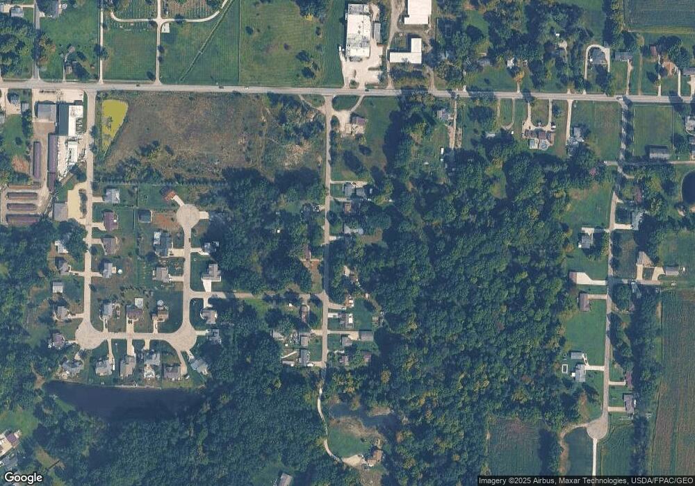
Map
Nearby Homes
- 4079 Siefer Dr
- 3689 Cherry Hill
- 3701 State Route 44
- 0 Lynn Rd Unit 5110102
- 4200 Hattrick Rd
- 4415 Farmette Dr
- V/L 2 Lynn Rd
- V/L Lynn Rd
- sub lot Lane Ave
- 3637 Old Forge Rd
- 4556 Rootstown Rd
- 3021 Hartville Rd
- 4140 Sandy Lake Rd
- 4058 Bayberry Knoll Ln
- 5394 Juniper Ct
- 4087 Industry
- 3925 Summit Rd
- 4958 Bassett Rd
- 2978 Sandy Lake Rd
- 1065 Shadowlawn Dr
- 3964 Rosalind Dr
- 3974 Rosalind Dr
- 3950 Rosalind Dr
- 3961 Rosalind Dr
- 3965 Rosalind Dr
- 3971 Rosalind Dr
- 3938 Rosalind Dr
- 3984 Rosalind Dr
- 3928 Rosalind Dr
- 3918 Rosalind Dr
- 3908 Rosalind Dr
- V/L Rosalind
- 3919 Rosalind Dr
- 4440 Tallmadge Rd
- 3909 Rosalind Dr
- 4454 Tallmadge Rd
- 3974 Joshua Point
- 3962 Joshua Point
- 4400 Curtis Rd
- 4401 Curtis Rd
Your Personal Tour Guide
Ask me questions while you tour the home.