39604 176th St Canton, MN 55922
Estimated Value: $255,000 - $803,554
3
Beds
4
Baths
2,505
Sq Ft
$211/Sq Ft
Est. Value
About This Home
This home is located at 39604 176th St, Canton, MN 55922 and is currently estimated at $529,277, approximately $211 per square foot. 39604 176th St is a home located in Fillmore County with nearby schools including Mabel-Canton Elementary School and Mabel-Canton Secondary School.
Ownership History
Date
Name
Owned For
Owner Type
Purchase Details
Closed on
Mar 31, 2025
Sold by
Schieber Gregory M and Schieber Jenica K
Bought by
Schieber Gregory M and Schieber Jenica K
Current Estimated Value
Purchase Details
Closed on
May 19, 2014
Sold by
Dybing Philip and Dybing Heidi
Bought by
Schieber Gregory M
Home Financials for this Owner
Home Financials are based on the most recent Mortgage that was taken out on this home.
Original Mortgage
$175,500
Interest Rate
4.34%
Mortgage Type
New Conventional
Create a Home Valuation Report for This Property
The Home Valuation Report is an in-depth analysis detailing your home's value as well as a comparison with similar homes in the area
Purchase History
| Date | Buyer | Sale Price | Title Company |
|---|---|---|---|
| Schieber Gregory M | $500 | None Listed On Document | |
| Schieber Gregory M | $195,000 | None Available |
Source: Public Records
Mortgage History
| Date | Status | Borrower | Loan Amount |
|---|---|---|---|
| Previous Owner | Schieber Gregory M | $175,500 |
Source: Public Records
Tax History
| Year | Tax Paid | Tax Assessment Tax Assessment Total Assessment is a certain percentage of the fair market value that is determined by local assessors to be the total taxable value of land and additions on the property. | Land | Improvement |
|---|---|---|---|---|
| 2025 | $4,616 | $723,900 | $259,100 | $464,800 |
| 2024 | $4,616 | $604,400 | $199,900 | $404,500 |
| 2023 | $2,636 | $604,400 | $199,900 | $404,500 |
| 2022 | $2,636 | $353,300 | $170,200 | $183,100 |
| 2021 | $2,636 | $273,800 | $109,200 | $164,600 |
| 2020 | $2,318 | $273,800 | $109,200 | $164,600 |
| 2019 | $2,374 | $272,800 | $107,200 | $165,600 |
| 2018 | $2,306 | $272,800 | $107,200 | $165,600 |
| 2017 | -- | $261,100 | $100,800 | $160,300 |
| 2016 | $2,526 | $256,000 | $95,700 | $160,300 |
| 2015 | $2,504 | $185,200 | $36,479 | $148,721 |
| 2014 | $2,504 | $187,100 | $35,456 | $151,644 |
| 2013 | $2,504 | $253,500 | $88,200 | $165,300 |
Source: Public Records
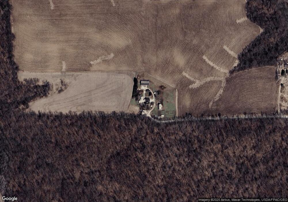
Map
Nearby Homes
- 18256 State Hwy 43
- 36658 Dogwood Rd
- 16325 351st Ave
- 13130 County 21
- County Road 16
- 12549 County 21
- 16128 331st Ave
- TBD County 8
- TBD-C County 8
- 315 Newburg Ave W
- 44331 State Hwy 44
- TBD County Road 16
- 237 S Robert St
- 241 S Robert St
- 348 7th Ave SE
- 340 1st St SE
- 315 2nd St SE
- TBD ( Lot 6, Blk 2) 3rd Ave SE
- TBD ( Lot 2, Blk 2) 3rd Ave SE
- TBD (Lot 3, Blk 1) 3rd Ave SE
- 39841 176th St
- 17177 Deer Rd
- 39739 Dragonfly Trail
- 1 Dragonfly Trail
- Lot 4 Dragonfly
- Lot4 Blk1 Dragonfly Trail
- Lot 2 Dragonfly
- xxxx Deer Rd
- 40105 Camper Ln
- 17061 Deer Rd
- 0 Dragonfly Trail
- xxx Dragonfly Ct
- 39770 Dragonfly Trail
- 40125 Camper Ln
- 40127 Camper Ln
- Lot 2 Dragonfly Trail
- Lots 1 & 2 Dragonfly
- 39800 Dragonfly Trail
- Lot 3 Dragonfly Trail
- 40102 Camper Ln
Your Personal Tour Guide
Ask me questions while you tour the home.