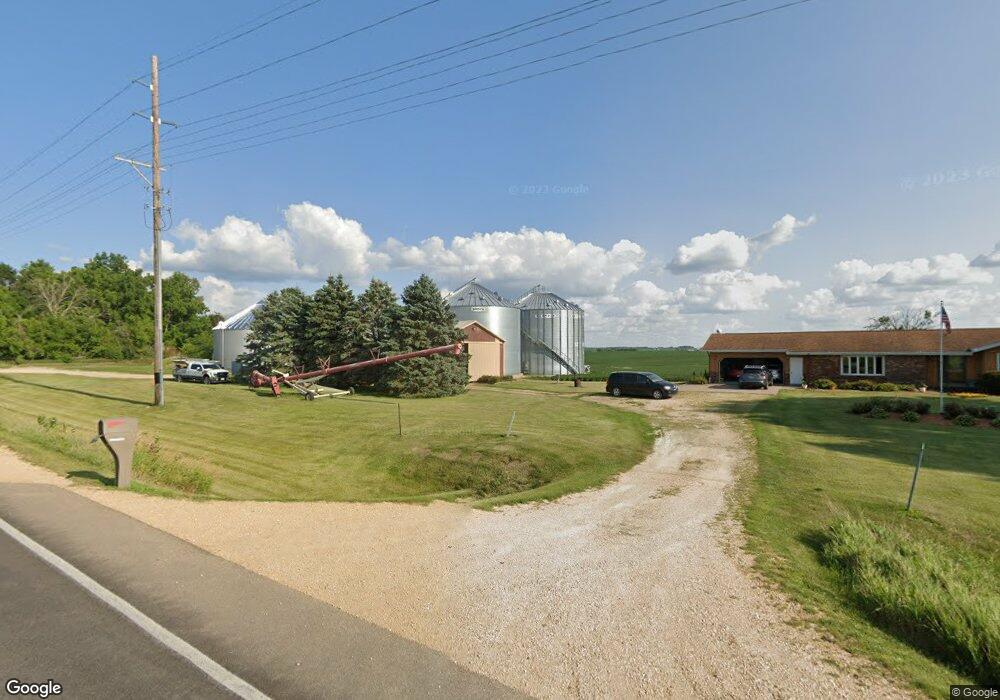
3961 220th St Clinton, IA 52732
Estimated Value: $300,000 - $484,175
3
Beds
2
Baths
1,484
Sq Ft
$264/Sq Ft
Est. Value
About This Home
This home is located at 3961 220th St, Clinton, IA 52732 and is currently estimated at $392,088, approximately $264 per square foot. 3961 220th St is a home located in Clinton County with nearby schools including Northeast Elementary School and Northeast Middle/High School.
Ownership History
Date
Name
Owned For
Owner Type
Purchase Details
Closed on
Jan 6, 2009
Sold by
Estate Of Louis D Munck
Bought by
Witt Steven R and Witt Marcia L
Current Estimated Value
Home Financials for this Owner
Home Financials are based on the most recent Mortgage that was taken out on this home.
Original Mortgage
$1,000,000
Outstanding Balance
$506,010
Interest Rate
6.25%
Mortgage Type
Credit Line Revolving
Estimated Equity
-$113,922
Create a Home Valuation Report for This Property
The Home Valuation Report is an in-depth analysis detailing your home's value as well as a comparison with similar homes in the area
Home Values in the Area
Average Home Value in this Area
Purchase History
| Date | Buyer | Sale Price | Title Company |
|---|---|---|---|
| Witt Steven R | $1,146,000 | None Available |
Source: Public Records
Mortgage History
| Date | Status | Borrower | Loan Amount |
|---|---|---|---|
| Open | Witt Steven R | $1,000,000 |
Source: Public Records
Tax History Compared to Growth
Tax History
| Year | Tax Paid | Tax Assessment Tax Assessment Total Assessment is a certain percentage of the fair market value that is determined by local assessors to be the total taxable value of land and additions on the property. | Land | Improvement |
|---|---|---|---|---|
| 2025 | $5,182 | $390,710 | $73,800 | $316,910 |
| 2024 | $5,182 | $353,240 | $57,290 | $295,950 |
| 2023 | $5,172 | $353,240 | $57,290 | $295,950 |
| 2022 | $4,802 | $310,170 | $45,050 | $265,120 |
| 2021 | $5,524 | $270,490 | $45,050 | $225,440 |
| 2020 | $5,524 | $300,900 | $47,430 | $253,470 |
| 2019 | $4,804 | $322,410 | $0 | $0 |
| 2018 | $4,700 | $162,790 | $0 | $0 |
| 2017 | $4,700 | $162,790 | $0 | $0 |
| 2016 | $4,180 | $320,200 | $0 | $0 |
| 2015 | $4,180 | $313,400 | $0 | $0 |
| 2014 | $4,008 | $312,000 | $0 | $0 |
| 2013 | $3,906 | $0 | $0 | $0 |
Source: Public Records
Map
Nearby Homes
- 601 Green Hills Dr
- 3930 Brandy Ln
- 0 240th St Unit RMAQC4267442
- 0 240 St Unit NOC6329441
- 419 3rd St
- 2340 Lafayette Terrace
- 000 Dunn Rd
- 1907 Zara Trace
- 1915 Zara Trace
- 1921 Zara Trace
- 1933 Zara Trace
- 1805 Zara Trace
- 1825 Zara Trace
- 1819 Zara Trace
- 1837 Zara Trace
- 750 N 18th St
- 1924 Zara Trace
- 1916 Zara Trace
- 1908 Zara Trace
- 1940 Zara Trace