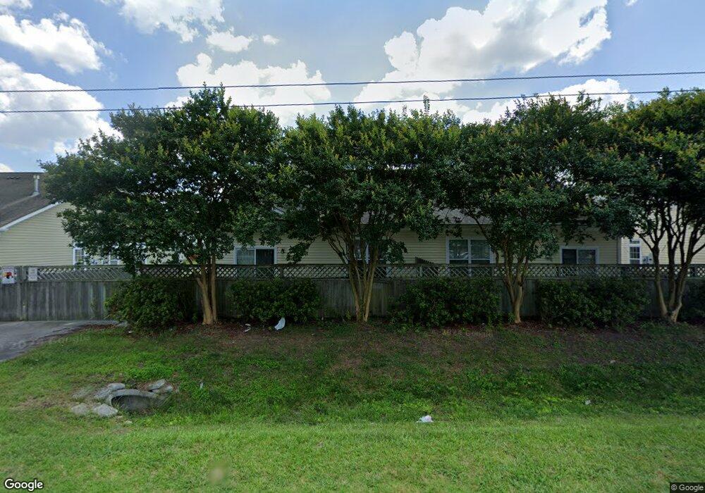
3961 Rex Cir Unit 31 Chesapeake, VA 23321
Western Branch NeighborhoodEstimated Value: $260,000 - $283,000
2
Beds
2
Baths
1,632
Sq Ft
$167/Sq Ft
Est. Value
About This Home
This home is located at 3961 Rex Cir Unit 31, Chesapeake, VA 23321 and is currently estimated at $272,735, approximately $167 per square foot. 3961 Rex Cir Unit 31 is a home located in Chesapeake City with nearby schools including Southwestern Elementary School, Jolliff Middle School, and Western Branch High School.
Ownership History
Date
Name
Owned For
Owner Type
Purchase Details
Closed on
Oct 12, 2021
Sold by
Outlaw Linwood H
Bought by
Vann Cheryle S
Current Estimated Value
Purchase Details
Closed on
Oct 15, 2013
Sold by
Mcq Builders Llc & 1
Bought by
Outlaw Linwood H
Home Financials for this Owner
Home Financials are based on the most recent Mortgage that was taken out on this home.
Original Mortgage
$144,875
Interest Rate
4.56%
Mortgage Type
New Conventional
Create a Home Valuation Report for This Property
The Home Valuation Report is an in-depth analysis detailing your home's value as well as a comparison with similar homes in the area
Home Values in the Area
Average Home Value in this Area
Purchase History
| Date | Buyer | Sale Price | Title Company |
|---|---|---|---|
| Vann Cheryle S | -- | None Available | |
| Outlaw Linwood H | $152,500 | -- |
Source: Public Records
Mortgage History
| Date | Status | Borrower | Loan Amount |
|---|---|---|---|
| Previous Owner | Outlaw Linwood H | $144,875 |
Source: Public Records
Tax History Compared to Growth
Tax History
| Year | Tax Paid | Tax Assessment Tax Assessment Total Assessment is a certain percentage of the fair market value that is determined by local assessors to be the total taxable value of land and additions on the property. | Land | Improvement |
|---|---|---|---|---|
| 2025 | $2,533 | $262,800 | $65,000 | $197,800 |
| 2024 | $2,533 | $250,800 | $60,000 | $190,800 |
| 2023 | $2,093 | $238,300 | $60,000 | $178,300 |
| 2022 | $2,003 | $198,300 | $50,000 | $148,300 |
| 2021 | $1,959 | $186,600 | $50,000 | $136,600 |
| 2020 | $1,857 | $176,900 | $40,000 | $136,900 |
| 2019 | $1,857 | $176,900 | $40,000 | $136,900 |
| 2018 | $1,804 | $127,100 | $0 | $127,100 |
| 2017 | $1,742 | $165,900 | $35,000 | $130,900 |
| 2016 | $1,689 | $160,900 | $30,000 | $130,900 |
| 2015 | $1,621 | $154,400 | $30,000 | $124,400 |
| 2014 | $1,674 | $159,400 | $35,000 | $124,400 |
Source: Public Records
Map
Nearby Homes
- 3725 Bosun Dr
- 1741 Spar St
- 1821 Spar St
- 3861 Ahoy Dr
- 3940 Starboard Rd
- 4026 River Breeze Cir
- 3931 Port Rd
- 4004 River Breeze Cir
- 3912 Holly Cove Dr
- 4227 Meander Way
- 210 Bedford Ct
- 4305 Mast Head Way
- 1704 Sandy Pines Ct
- 4336 Schooner Trail
- 409 Holloway Dr
- 4195 Taughtline Loop
- 305 Bobby Jones Dr
- 407 Bobby Jones Dr
- 4052 Sunkist Rd
- 611 Nottingham Rd